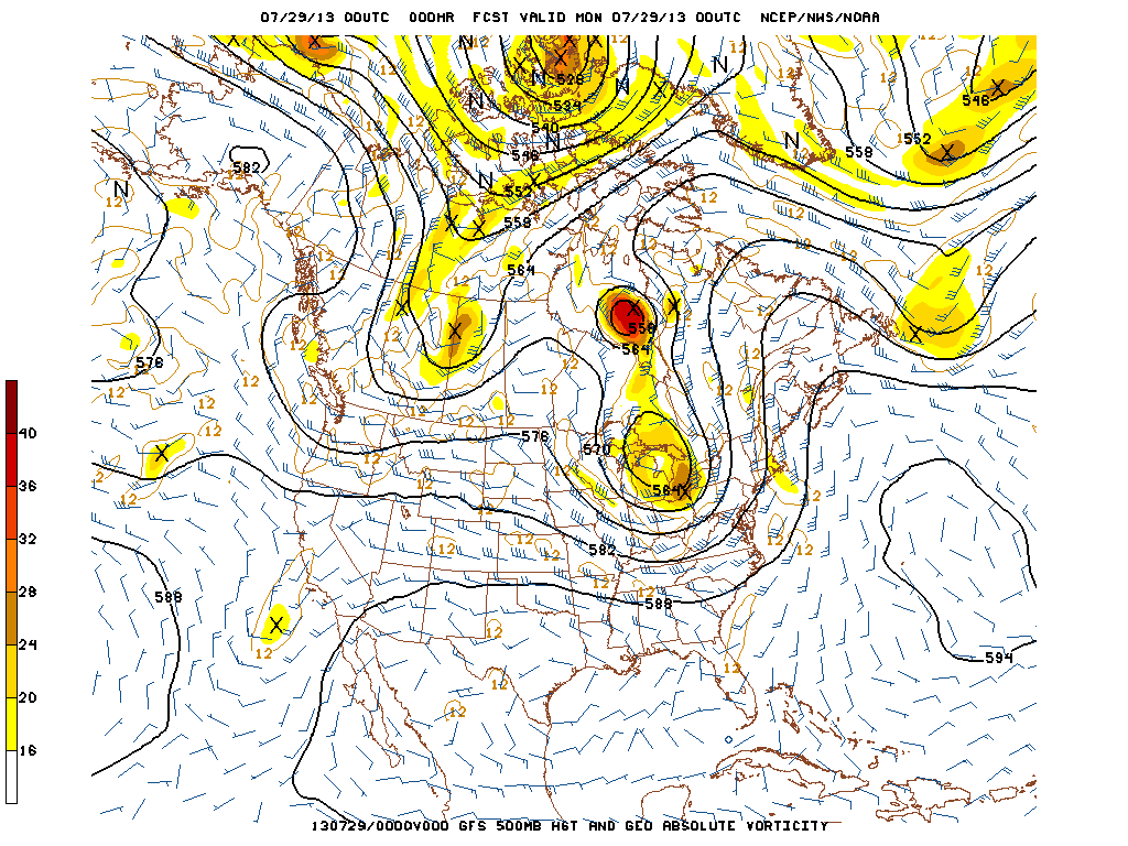
After some extreme summer weather nation-wide, it has chilled out. The upper air shows a rather strong trof and jet stream for the Eastern Half of the nation this week...only for a re-enforcement in central Canada to join up by this coming weekend. Looks seasonable then a turn to slightly below normal this weekend especially in NE.
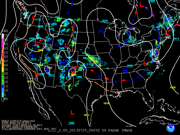
Our satellite/weather map shows many fronts...with precip scattered all over the place. Rather active for this time of year.
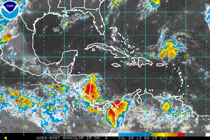
Dorian is a tropical wave north of Puerto Rico. Even though satellite pictures do not reveal any great intensification....there is a defined circulation and Hurricane Center gives it a 50% chance of being re-born. Will watch it. For now...settle back and enjoy the calm weather.Later.

 RSS Feed
