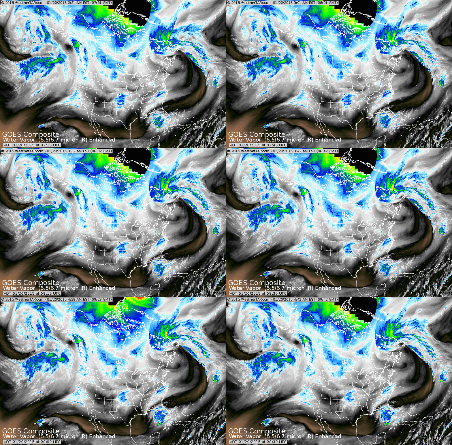
Satellite does not show any widespread areas of moisture...rather blotchy thus unsettled but not stormy.
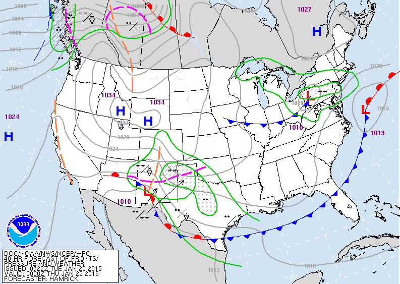
Map above is for Wednesday evening. Small low moving
toward mid Atlantic. Could bring a few inches of snow
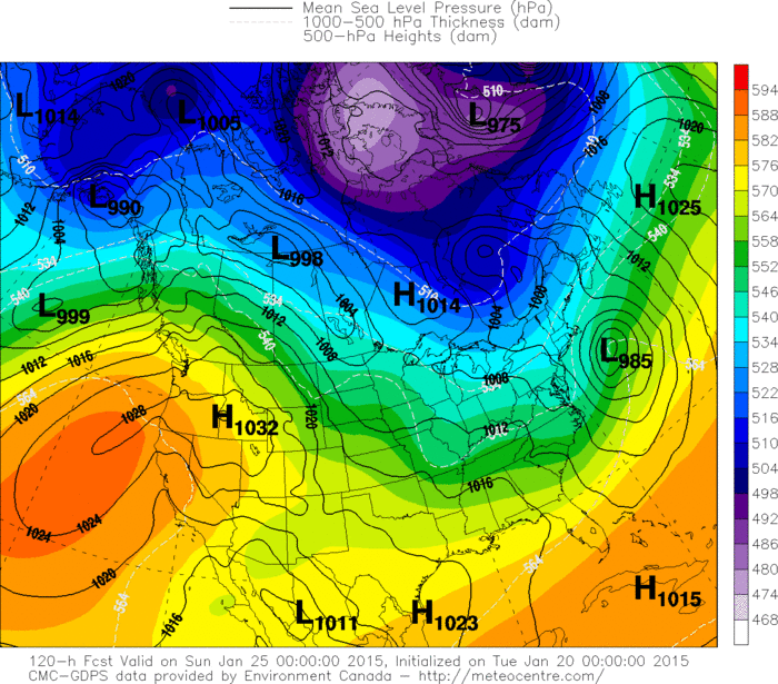
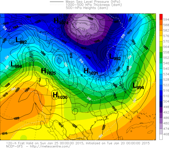
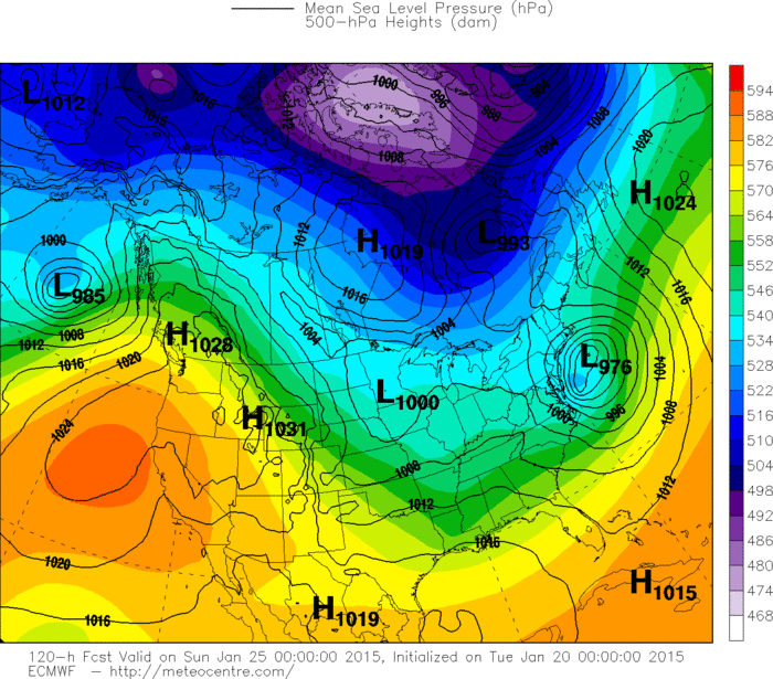
to DC And Baltimore...Phly. Rain and snow in Texas with a storm that moves across Gulf States and turns up Atlantic coast this weekend. It will be a close call. Below are the 3 computer models with their placement for this storm on
Saturday along east coast. You can easily see that the
Euro Model is the closest to the coast.
Above - Canadian
Abve - GFS Model
Above...The Euro Model. More on this later. Be safe.

 RSS Feed
