
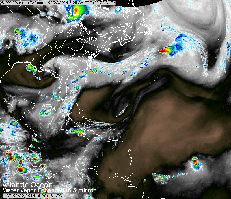
Satellite above shows an upper disturbance in Gulf States causing storms in Fla...but dragging storms south from Oklahoma into Texas. Strong storm in Minnesota drags a cold front east. Massive trof off West Coast.
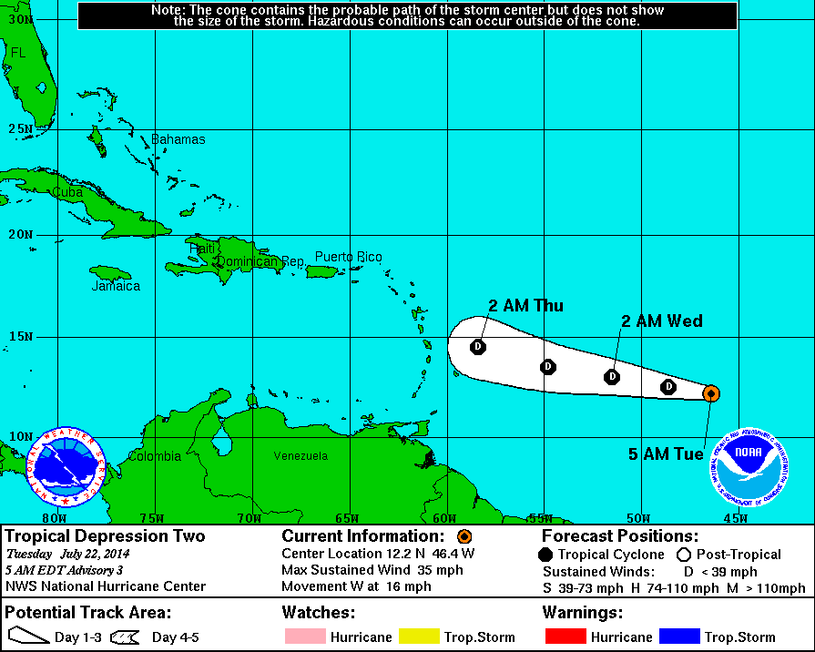
Above...new tropical depression which hurricane center predicts will fall apart upon reaching Leeward Islands. We shall see. Below...satellite picture showing depression. Look for the colored dot on the right of your screen.
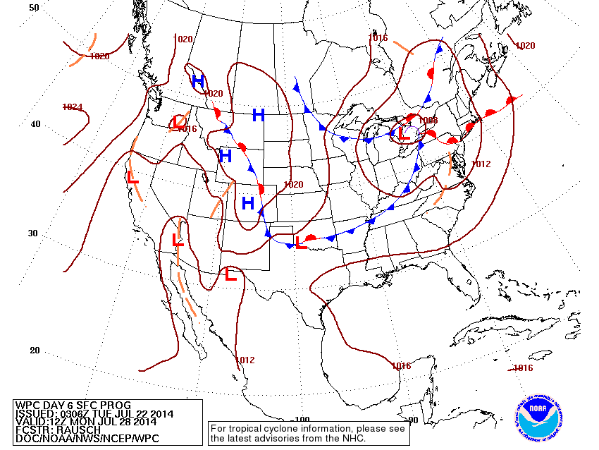
Above...map is valid for next Monday. A big mess for the Eastern half of The Nation as the jet stream moves far south for this time of year. This means more below normal temps...for Eastern Half....as well as very unsettled.
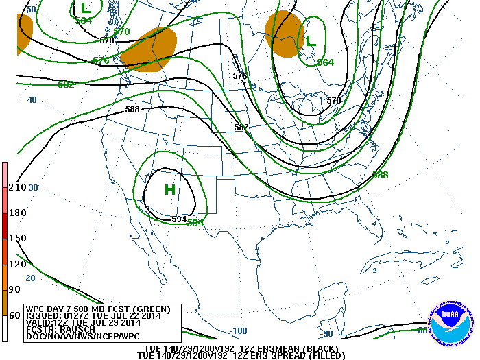
Above map shows the upper flow - jet stream for next Tuesday. The jet is flowing down into The Gulf States...extremely unusual for this time of year. For those who don't like heat....like your's truly, great pattern. Heat will be found inder that "H".....you can go there if you don't like the cooler weather. Be safe.

 RSS Feed
