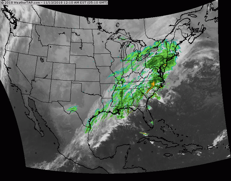
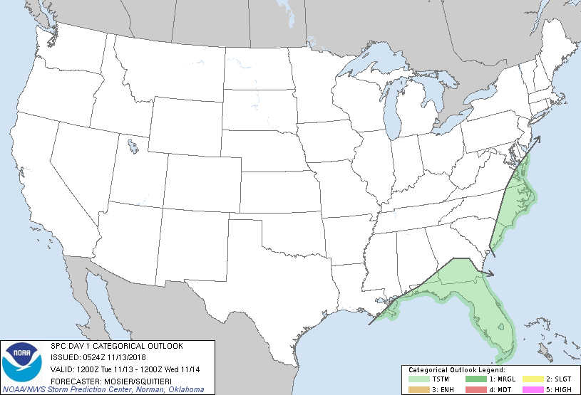
Satellite/radar shows rain from Gulf Coast to East Coast. It will clear out later today.....while cold air plunges south across the Plains and heads east. That cold air will make things wintry for the next storm along the East Coast Thursday nite into Friday. That storm will likely bring the first snows of the season from Appalachians into Northeast. Below - severe risk of thunderstorms today in light green.
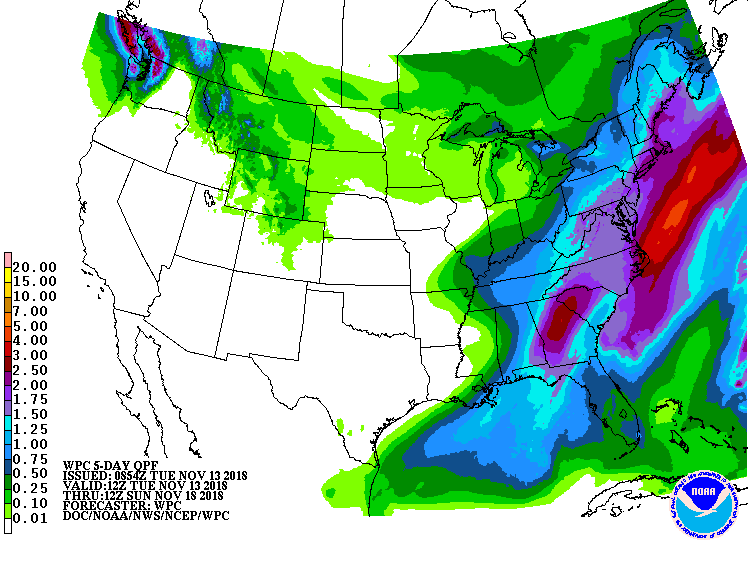
Below - animated maps for next 2 days followed by rainfall through Sunday....amounts of which would include snowfall Thursday nite into Friday in Northeast.
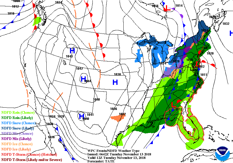
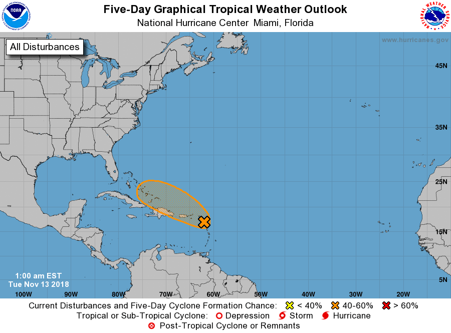
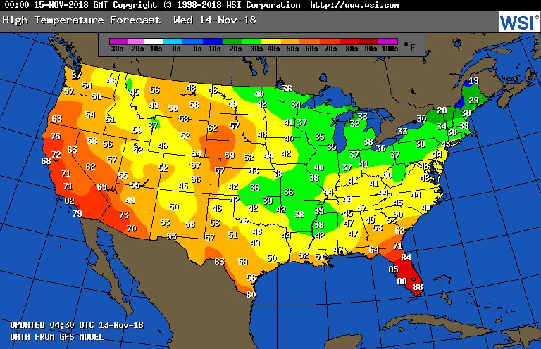
Below - map showing Atlantic disturbance which will stay offshore.....high temperatures for Wednesday.
Be safe.
Be safe.

 RSS Feed
