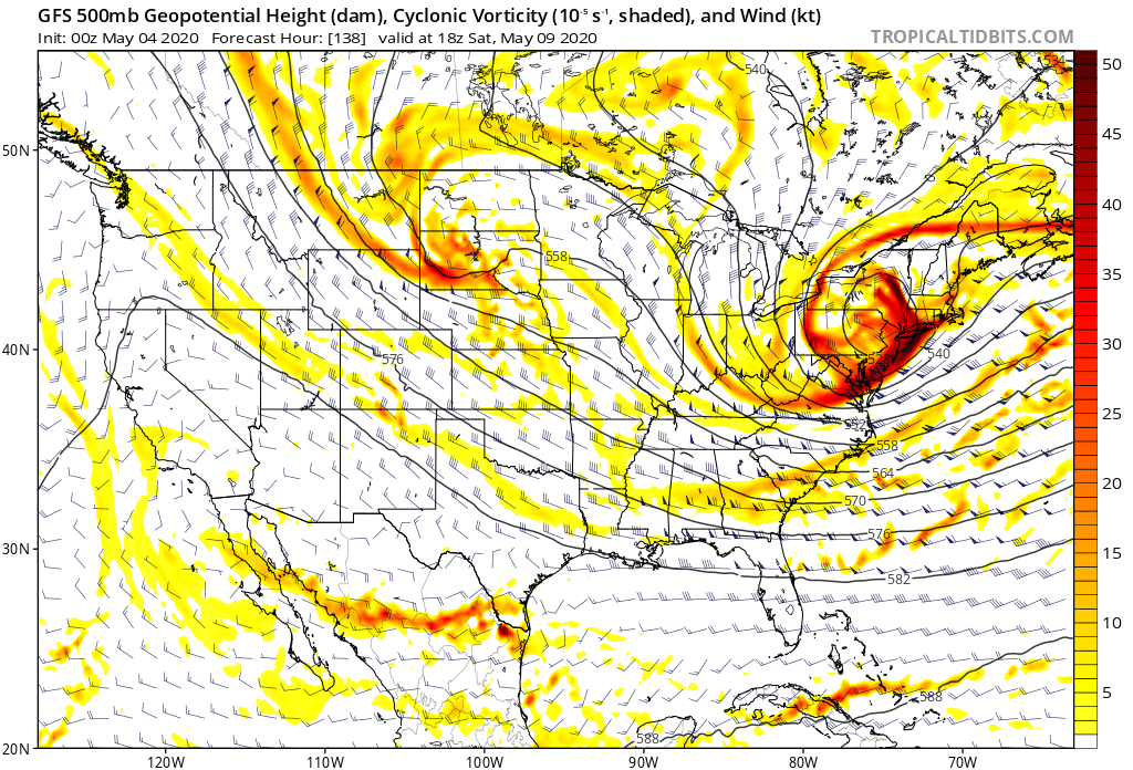
One disturbance passes off East Coast this morning leaving fair skies but windy weather. System in the Plains will bring chance of severe storms to Southern Plains today and tonight. It will arrive on East Coast Thursday. By late week..jet stream plows south over East and could easily bring some snow to Northeast this weekend...along with unseasonably chilly weather. Below - a look at the upper air for this Saturday. The "U" shaped pattern in the East indicates the jet stream pushing south with the cold air.
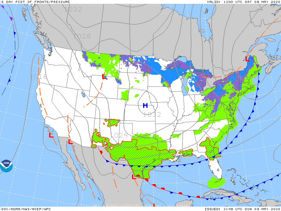
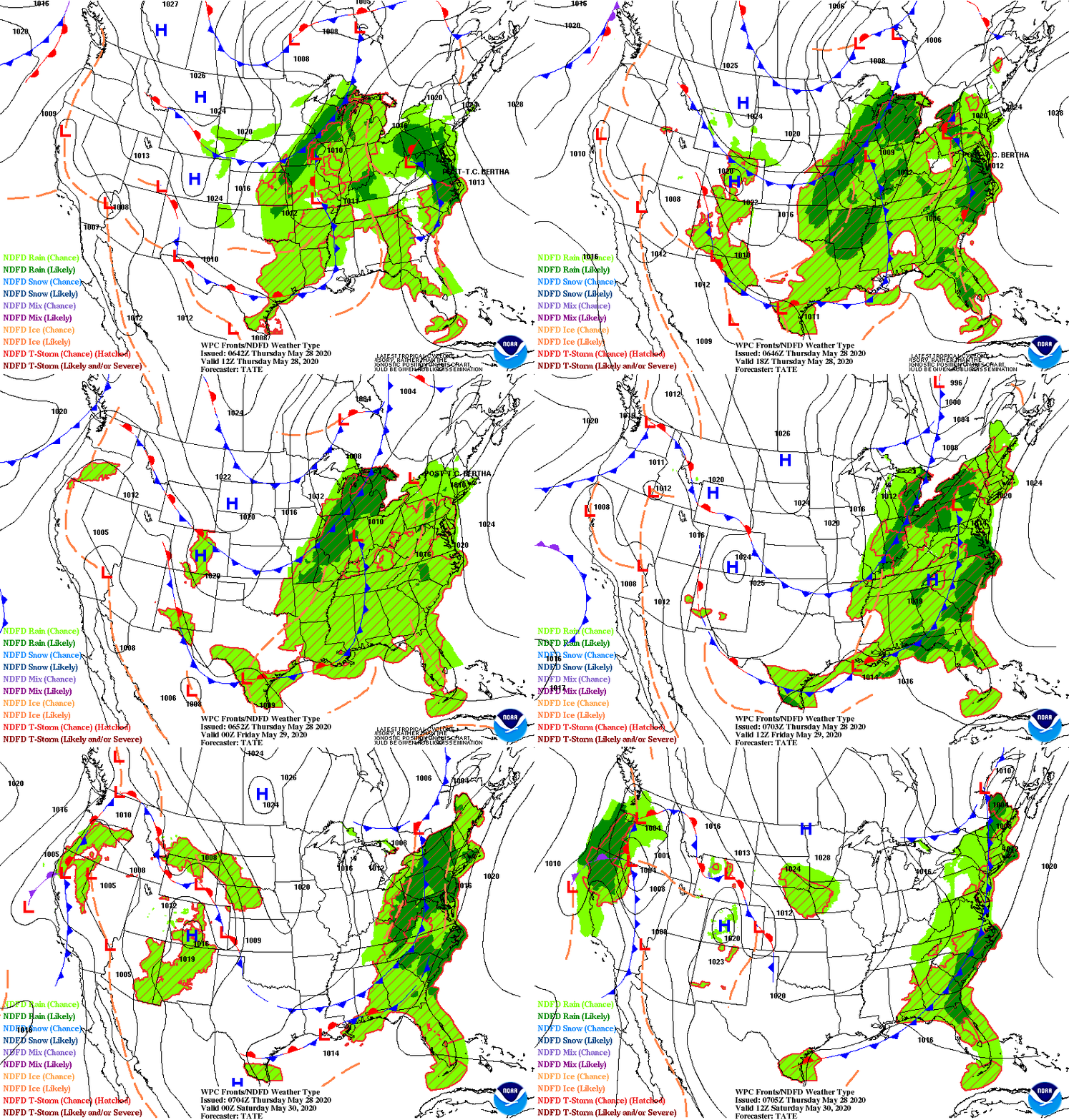
Below...the corresponding weather map for Saturday. You will notice and pink and blue indicating snow for Northeast.
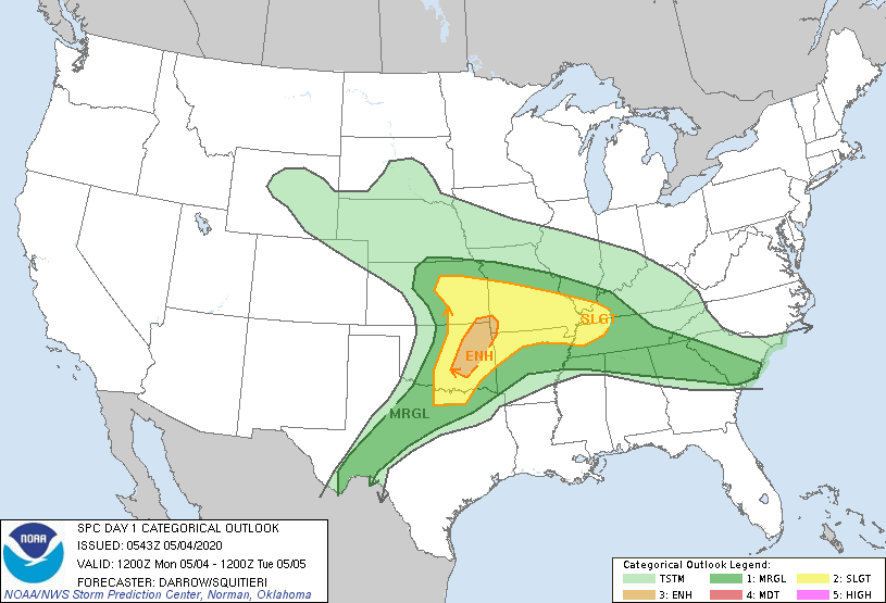
Below - severe weather threat for today - dark green...yellow - tan....+
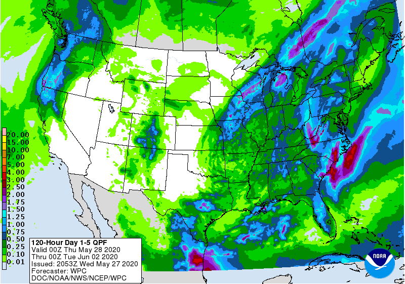
rainfall amounts through Friday...+ animated maps.
rainfall amounts through Friday...+ animated maps.
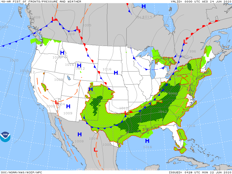
Below - snapshot weather for Tuesday. BE SAFE.....sticky to the rules...it will all get better sooner if we all follow the rules.

 RSS Feed
