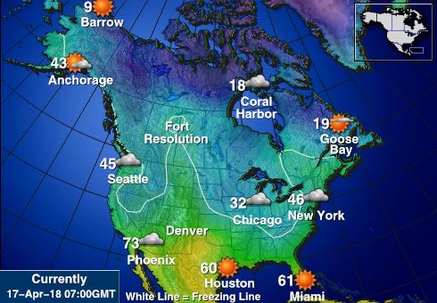
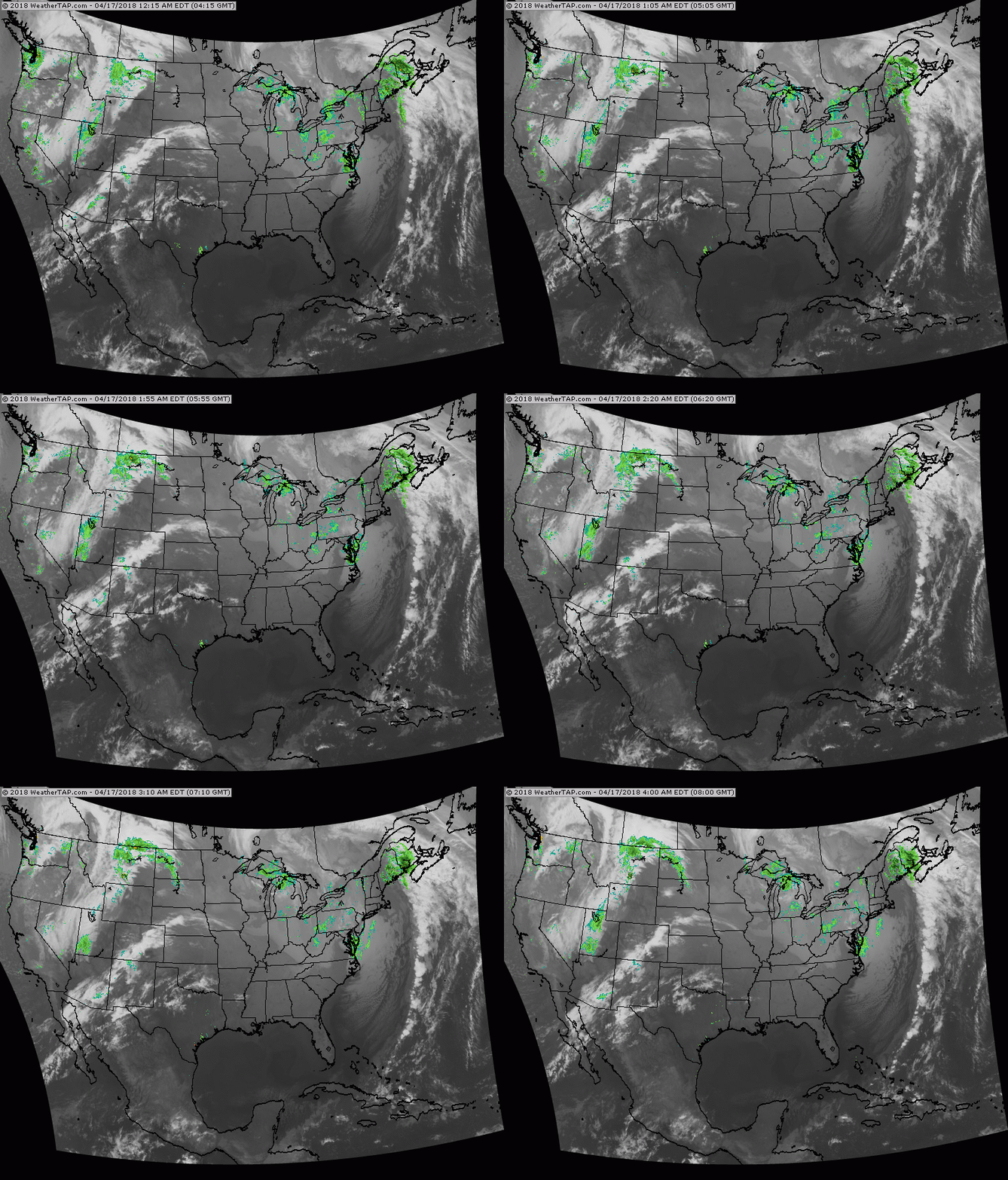
Above - snapshot of N.America today. Notice how it's cold for 75% of the continent. Below - today's satellite/radar showing storms in Eastern Canada and west coast.
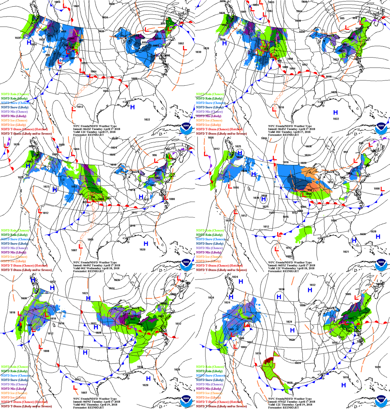
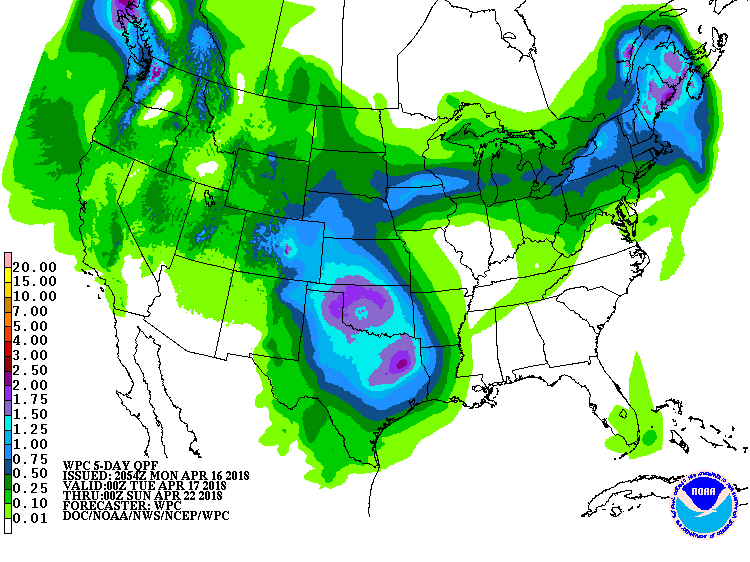
Below- animated maps for the next 2 days followed by amounts of rainfall for the next 5 days.
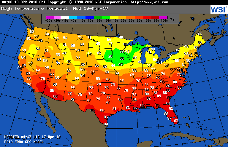
Below- map showing high temperatures for Wednesday. While still on the cool side...longer range suggesting and turn to drier weather and with that will come milder. Be patient. Be safe.

 RSS Feed
