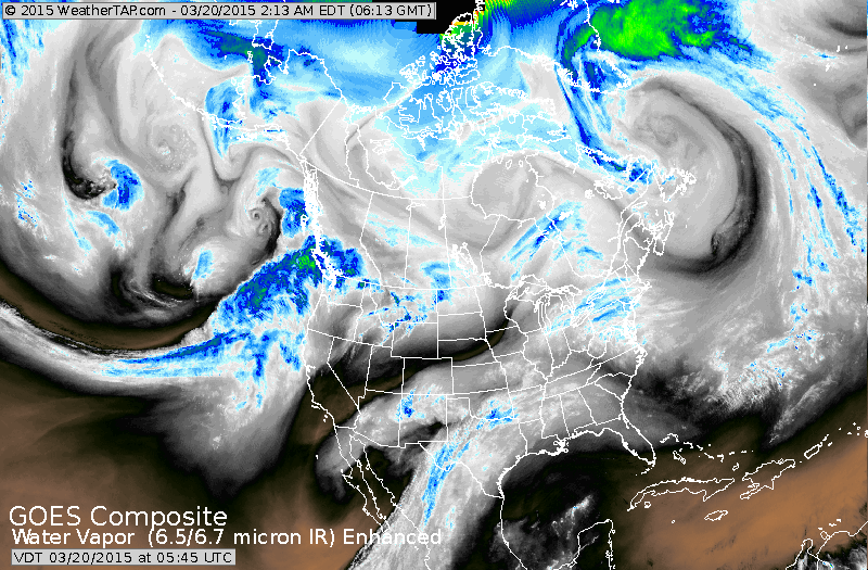
Stream of moisture seen from Texas to The Northeast. This will produce several inches of snow in Northeast today including NYC.
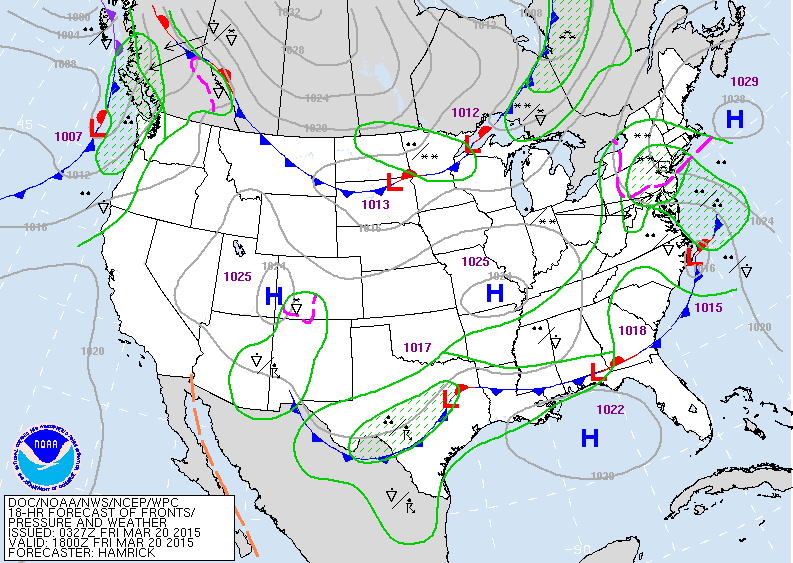
Map above for Friday afternoon showing a low off the N.Carolina coast. This system will bring the snow to the Northeast and parts of Mid Atlantic....2"-4" on average....while rain continues across the south. Cold front in upper Midwest will reenforce cold air for Norther-tier this weekend into early next week.
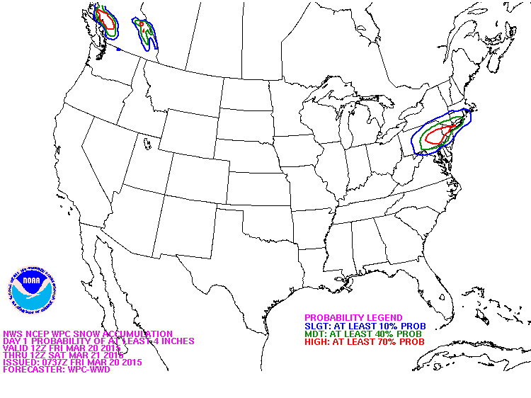
This map shows where the best probability of snow is today across the Nation.

This is an upper air map for mid part of next week. The ridge along the west coast will bring unseasonably warm weather there...parts of so. California could go to 90. The trof over the Great Lakes will bring some brief milding to the east before cooling off late next week. Spring arrives in the east at 6:45 tonight....hope it bring warmth to color to all and have a safe one.

 RSS Feed
