
Large spring storm bringing heavy rain to the East....thunderstorms over Ohio & Tenn Valleys. In the wake...cool air over The Plains.
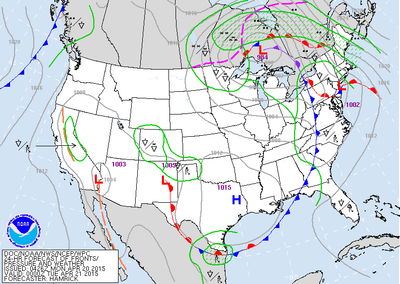
Map above is for this evening. Large storm north of the Great Lakes will pull rain north across New England while unseasonably chilly air and wind will grab the Northern Plains and Upper Midwest. Looks like the Lakes and Northeast will also turn chilly late this week and that pattern could continue thru end of month.
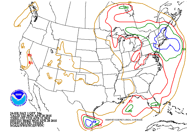
Amounts of rain expected today and tonight. Heaviest - in blue...where 1-2" possible.
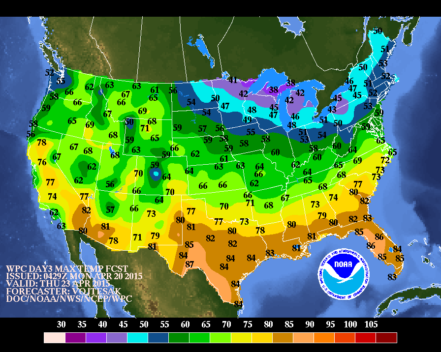
Above....daytime high temperatures for Thursday.
Unseasonably warm well south...unseasonably cold extreme north.
Unseasonably warm well south...unseasonably cold extreme north.
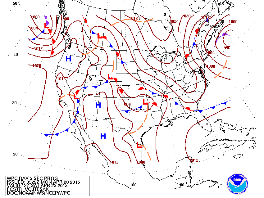
Map for this Saturday. Low off New England...high over central Canada...means cool for Lakes and Northeast. Low pressure in southwest bring wet weather for southern third of the Nation. Be safe.

 RSS Feed
