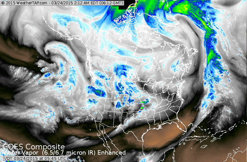
Satellite shows areas of moisture from west coast to the Plains. This will head east and bring mainly rain to the East.
There is also the threat of severe thunderstorms.....in mid section of the nation.
There is also the threat of severe thunderstorms.....in mid section of the nation.
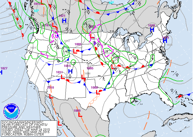
Map is for late today...and you can see all of the unsettled weather out west....heading eastbound. The South and East for now is quiet.
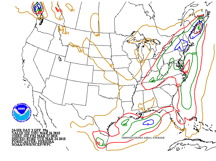
Above - amounts of rain Thursday and Thursday nite.
Northeast sees 1/2" to 1.00" of rain...likely to cause flooding in New England with snow melt.
Northeast sees 1/2" to 1.00" of rain...likely to cause flooding in New England with snow melt.
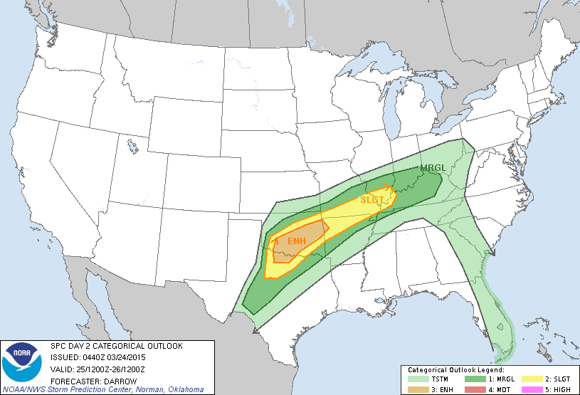
Severe weather threat for Wednesday. Strongest threat is over Oklahoma.
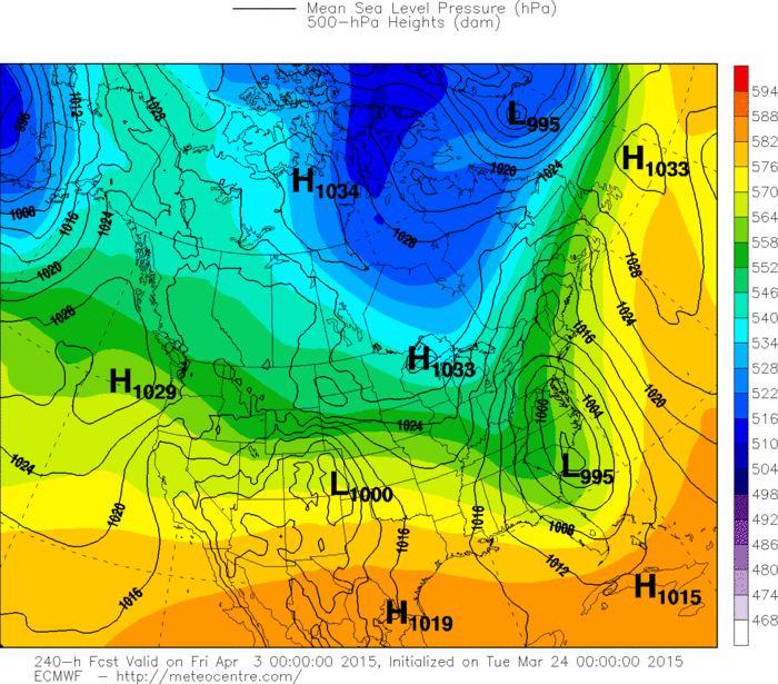
Here is where we put the Euro model to the test. Map above is for next Thursday.....just before Good Friday. Model forms an intense storm in southeast which would have to work up the coast . Let's see how accurate this model can be 10 days out ? (Personally...don't think it will be there....but maybe offshore ). Be safe.

 RSS Feed
