
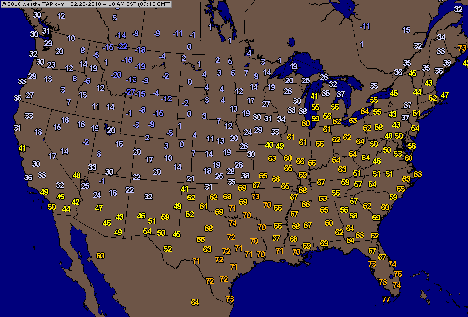
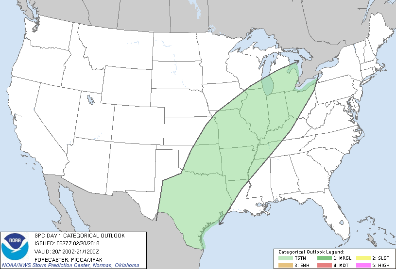
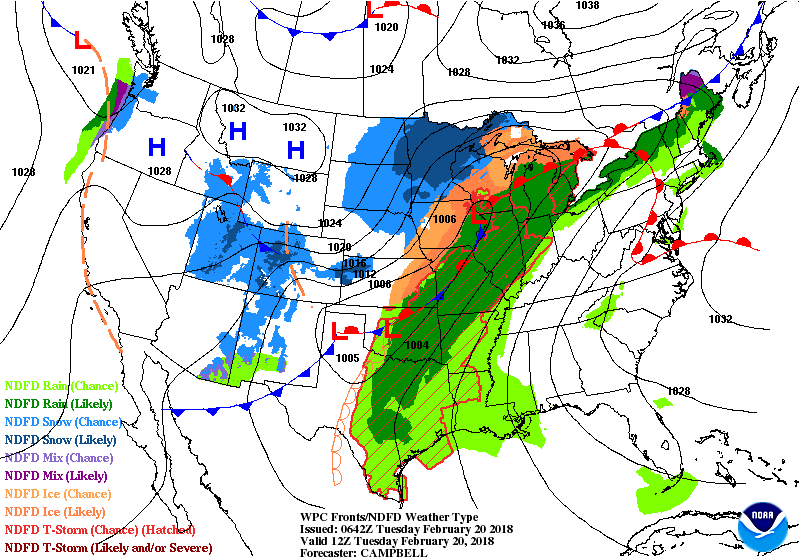
The dividing line between cold west and warm east extends from Texas to Great Lakes to No. New England. The rain along that front will reload by weekend for the east....meanwhile after record highs in Northeast...some places will see ice Thursday night - especially northern half of New England. Below - current morning temperatures followed by today's area of thunderstorms in green.
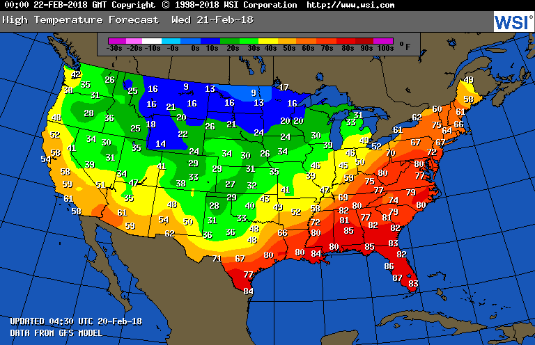
Below - animated maps for the next 2 days...followed by high temperatures for Wednesday....ending with amounts of rainfall for the next 5-7 days. Be safe.


 RSS Feed
