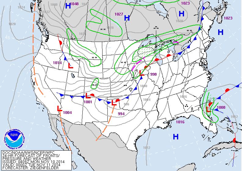
Storm in Iowa late today will bring 6"-12" of snow to upper Midwest and Great Lakes. As it races into Canada....mid winter cold will seep south into The Central U.S. and then slowly move east reaching the East Coast by late week in modified form.
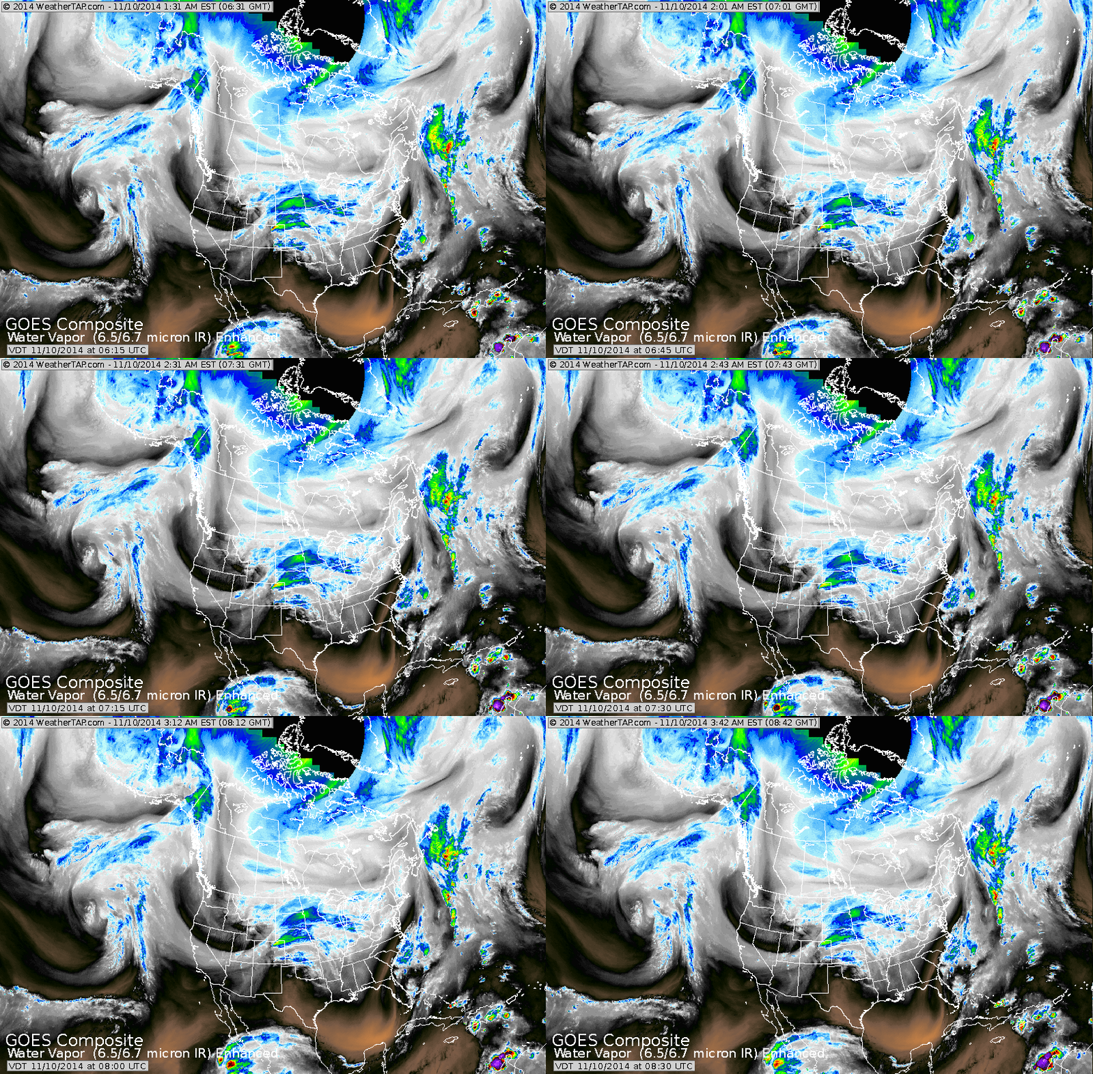
The blues and greens on satellite show the winter storm followed by a strong jet dropping down the Rockies.
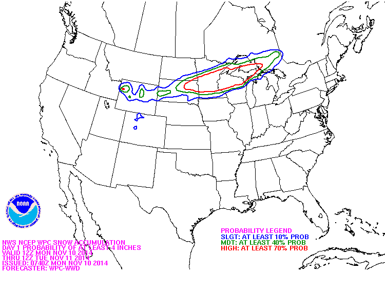
Red lined area shows the best chance of 4" + snow in next 24 hours.
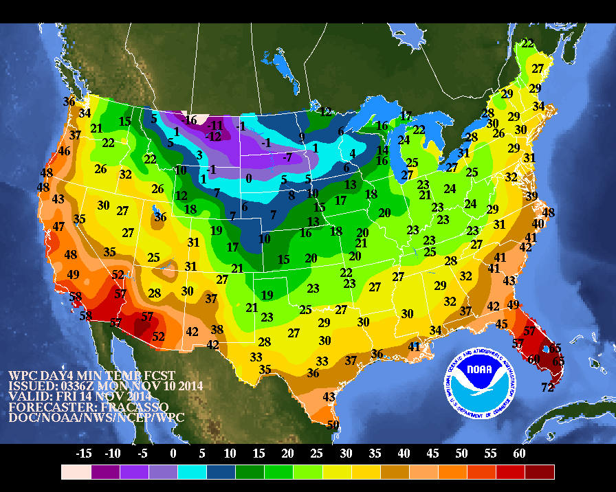
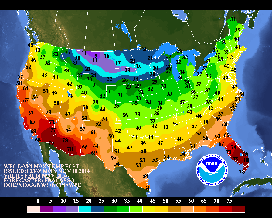
Above...expected nighttime temps for Friday. Below...expected daytime temps for Friday.
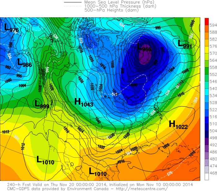
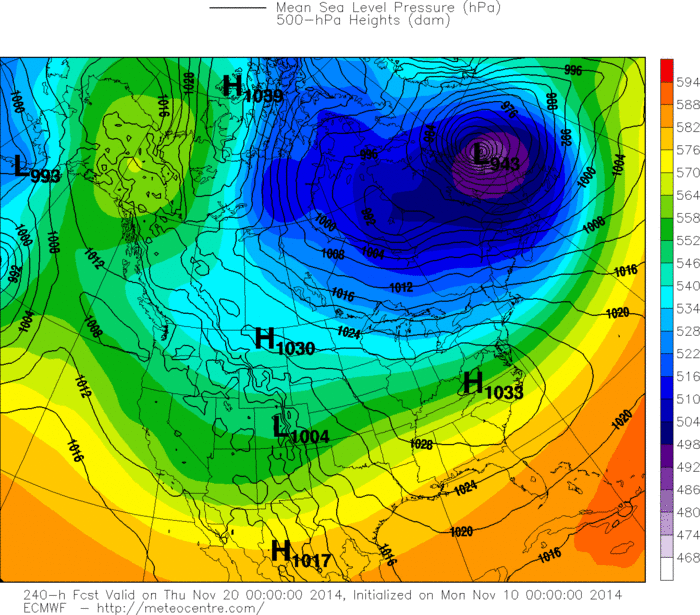
Below....The Canadian and Euro Models for next
Wednesday ....over 1 week away. Both showing more cold air .....will there be any snow with that ? Stay tuned. Be safe.
Wednesday ....over 1 week away. Both showing more cold air .....will there be any snow with that ? Stay tuned. Be safe.

 RSS Feed
