Metro Weather Inc. Services
Like us, follow us, link to us, contact us!
  • Home
    • Daily Weather Discussion
  • Weather Prepared for You
    • Film and TV Production
    • Radio & Television
    • Government and Industry
    • Forensic Services >
      • Weather Record Request Form
    • Metro Morning Monitor
  • About Metro Weather
    • Senior Staff
  • Your Weather Images
  • Contact Us

Sizzling.......

7/22/2016

0 Comments

 
Picture
Cold front moving into Northeast - causing showers and storms into Midwest and Ohio Valley. Showers from Southwest into Rockies.
Picture
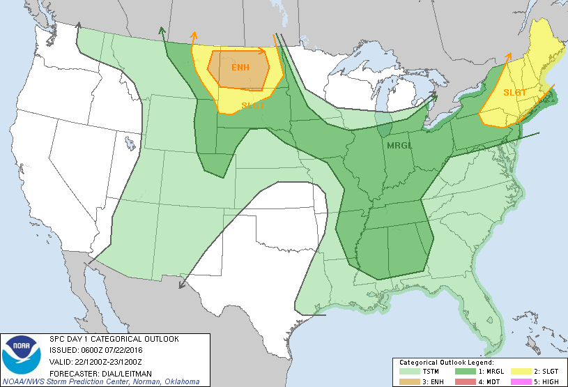
​Today's severe weather threat highlighted in Dakotas....then the Northeast.
Picture
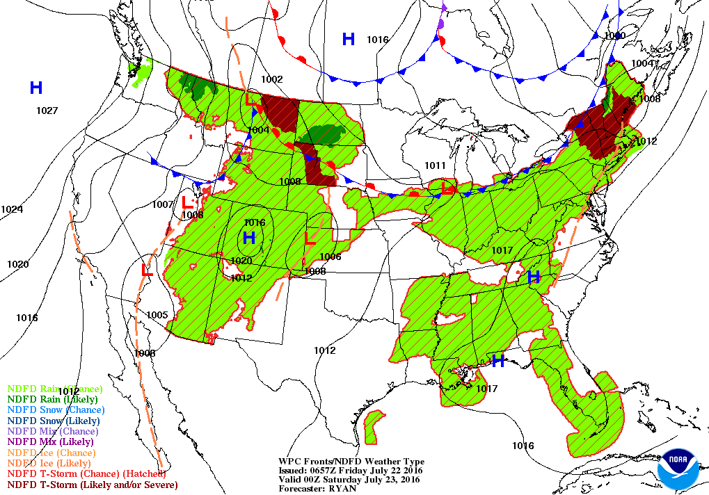
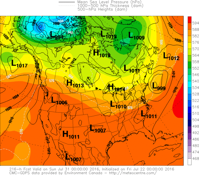
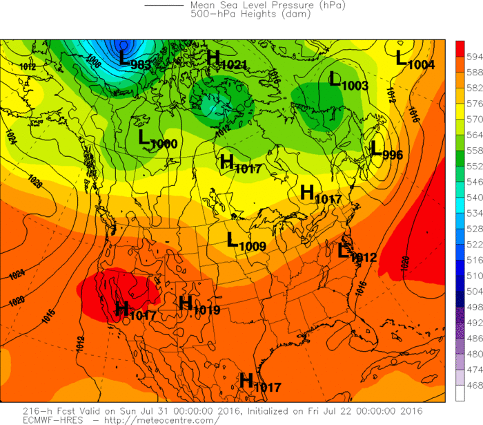
Map above for Friday evening showing cold front across the Great Lakes. Heaviest storms Northern New England...and over the Dakotas. Below....Canadian and Euro maps for next weekend...both showing a cool down for the Northern third of the Nation. Until then....quite hot...go slow...keep hydrated and be safe.
Picture
Picture
0 Comments


Leave a Reply.

    Genesis of a Tornado
    We'll have daily weather discussions, talking about major systems on the horizon along with anything noteworthy that pops up on our radar.

    Pat Pagano,
    Mike Merin

    Follow us on Twitter and like us on Facebook to get updates whenever we post a new entry!

    RSS Feed

Powered by Create your own unique website with customizable templates.