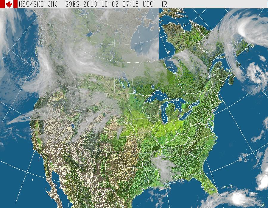
This satellite picture tells the story.....QUIET. Most of the nation dry and sunny and warm.
Cold front near Chicago will wash out. Cold front over Rockies will head east and will not move off the East Coast until Tuesday of next week. It should bring a chance of wetness to the east later Sunday into Tuesday.
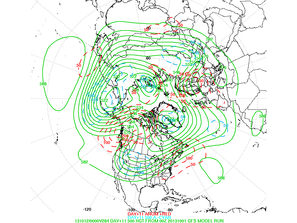
This map shows the upper air for 10 days out. Nice the dotted red lines in the east.....that shows above normal pressure aloft....meaning warmer. The "u" shaped configuration over the Plains indicates a trof..or cool. That pattern should trend east allowing a bigger change for the Nation by mid October. Until then...short sleeves it is. Later.

 RSS Feed
