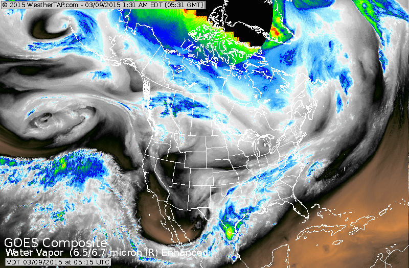
Satellite picture shows upper low over Baja California sending a plume of moisture thru Texas to Mid Atlantic in form of rain. Chill air over the north will continue to moderate most of the week.
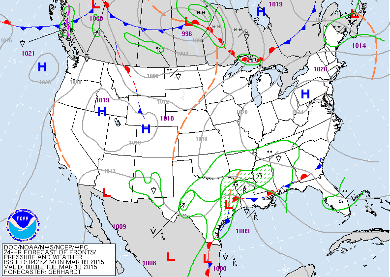
Disturbance over Texas will send some rain toward NYC late Tuesday and Wednesday...but any heavy rain stays south over The SE. Rest of the nation...quiet and almost springlike.
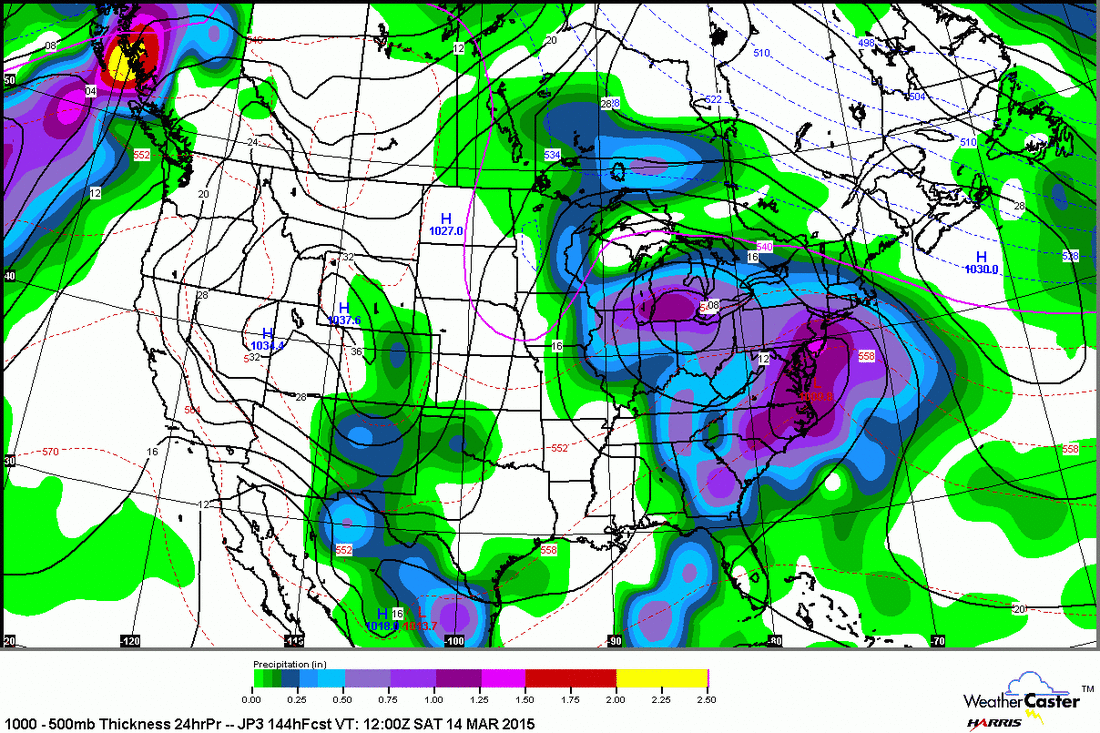
Above...Japan Model for this Saturday. One low in Ohio...another off the Virginia coast. The 2 combine to produce a swath of rain for The East....with snow confined to Northern New England.
Map above shows amounts of moisture with the next weekend storm...and that's only for starters.
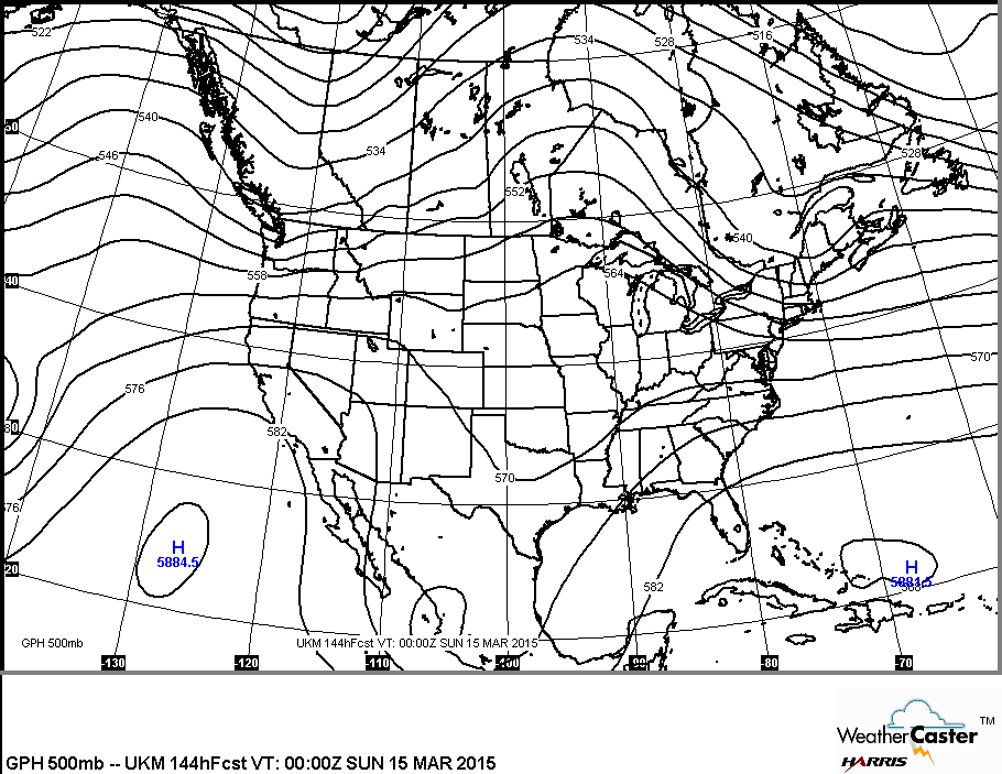
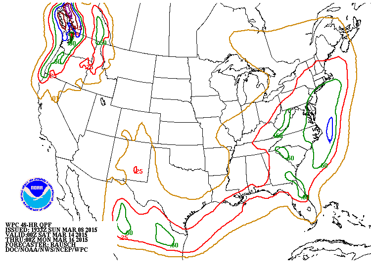
This is the upper flow for this coming weekend. It's a split flow....ridge over the Upper Midwest which will keep enough cold air over New England to raise the snow possibility. Trof over Southern Plains which will bring moisture up from the Gulf Of Mexico.
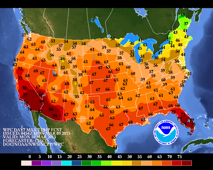
These are high temperatures expected 1 week from now. Notice almost all of the nation above freezing....tans and browns are 50's.....a sign of spring. Until then...be safe.

 RSS Feed
