
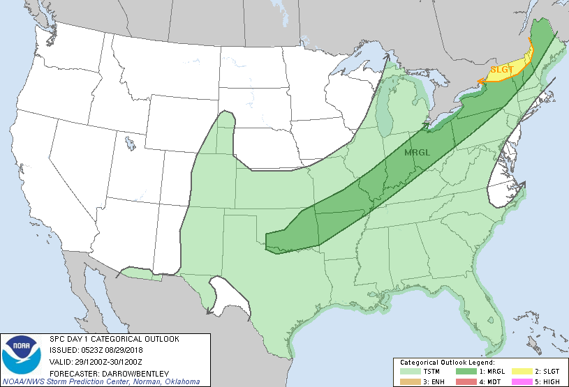
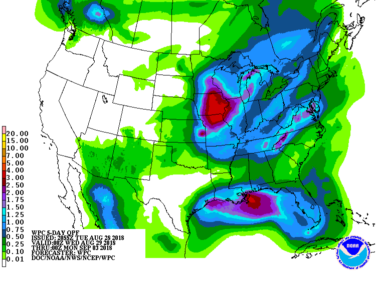
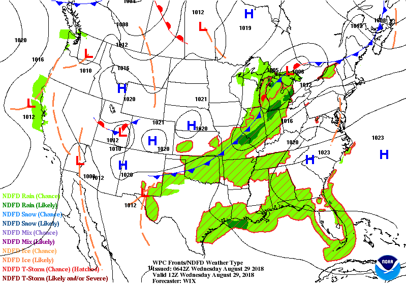
Satellite & radar shows storms with a cold front in Great Lakes. They head into Northeast today and Thursday. Will temper heat for a couple of days before the 3h's return. Below- today's risk of severe weather in dark green and yellow...followed by rainfall for next 5-7 days.
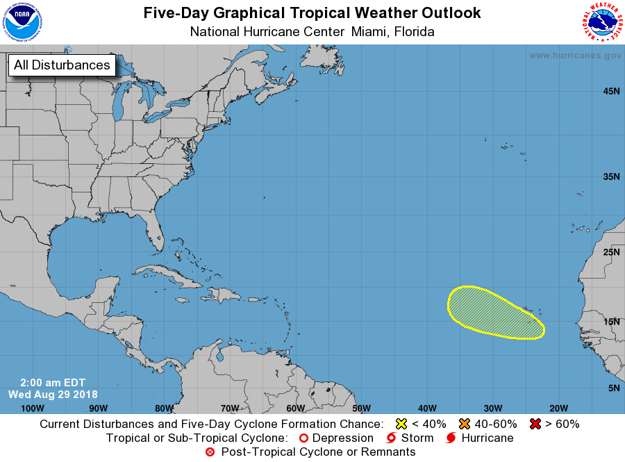
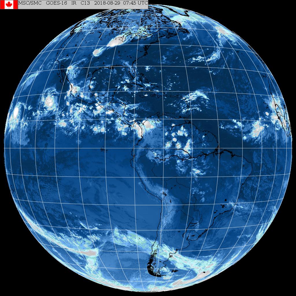
Above - Hurricane center showing chances for tropical development in hatched yellow area. Below= satellite shot showing that area and another one approaching the windward Islands that could affect Florida this weekend.
Below..animated maps for the next 2 days. Be safe.

 RSS Feed
