Metro Weather Inc. Services
Like us, follow us, link to us, contact us!
  • Home
    • Daily Weather Discussion
  • Weather Prepared for You
    • Film and TV Production
    • Radio & Television
    • Government and Industry
    • Forensic Services >
      • Weather Record Request Form
    • Metro Morning Monitor
  • About Metro Weather
    • Senior Staff
  • Your Weather Images
  • Contact Us

Severe Weather Central.............

4/27/2016

0 Comments

 
Picture
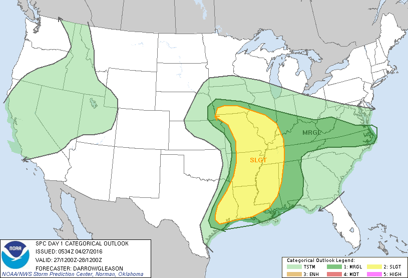
​Severe weather threat today in yellow....dark green is marginal.
Picture
Satellite picture shows the moisture reving up from Plains to Lower Mississippi Valley...which is where the severe threat is today. A vigorous low off the Oregon coast will be the next weather maker this weekend and next week.
Picture
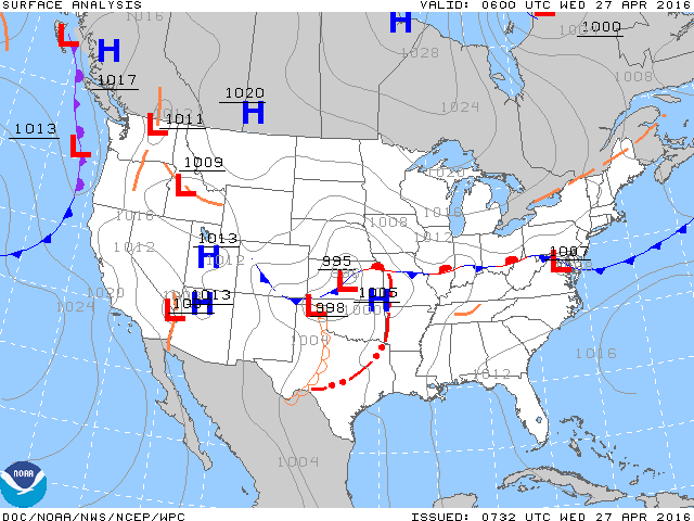
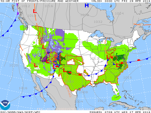
Above- current map....below...map moving forward to Thursday night. Train of lows and storms does not stop.
Picture
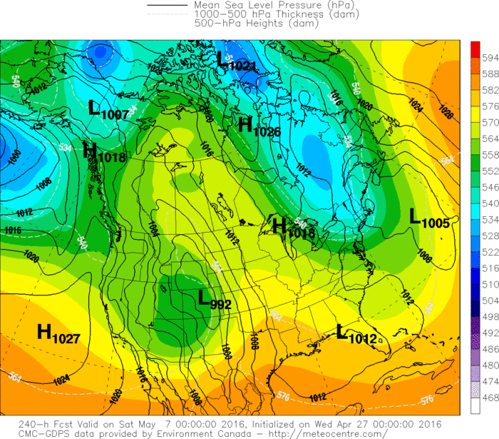
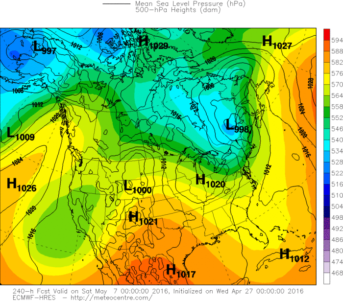
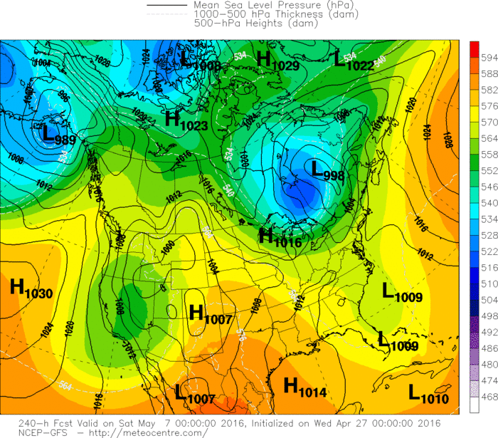
Below...the 3 long range models and their projection for chilly air to return to the Northeast by next Friday.....while elsewhere the wetness and warmth continue.  Be safe.
Picture
Picture
Picture
0 Comments


Leave a Reply.

    Genesis of a Tornado
    We'll have daily weather discussions, talking about major systems on the horizon along with anything noteworthy that pops up on our radar.

    Pat Pagano,
    Mike Merin

    Follow us on Twitter and like us on Facebook to get updates whenever we post a new entry!

    RSS Feed

Powered by Create your own unique website with customizable templates.