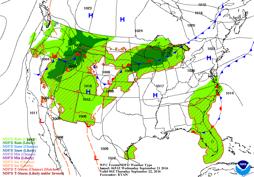
Satellite - radar map shows remains of Julia off the N.Carolina coast...not moving much. Thunderstorms Midwest with next cold front. Moisture from Paine in the Southwest.

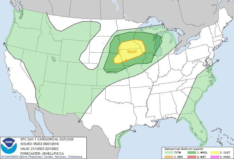
Today's severe threat in dark green and yellow.
Tonight's weather map shows frontal system in Midwest working east - will bring a touch of Fall to a good chunk of Nation this weekend.
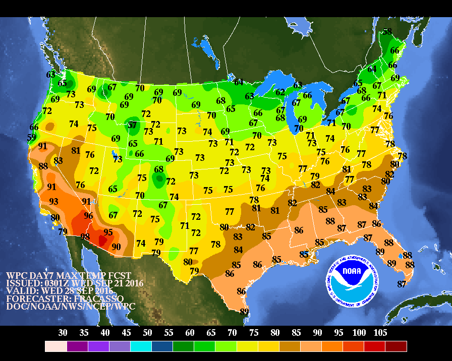
Below...map showing daytime temperatures for next Wednesday...as Fall intensifies.
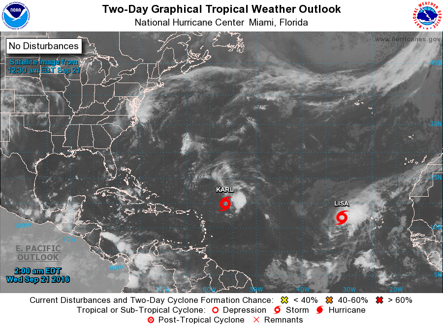
Lastly - tropical basin - 2 storms - both will move north then northeast and only Karl may skirt Bermuda. Be safe.

 RSS Feed
