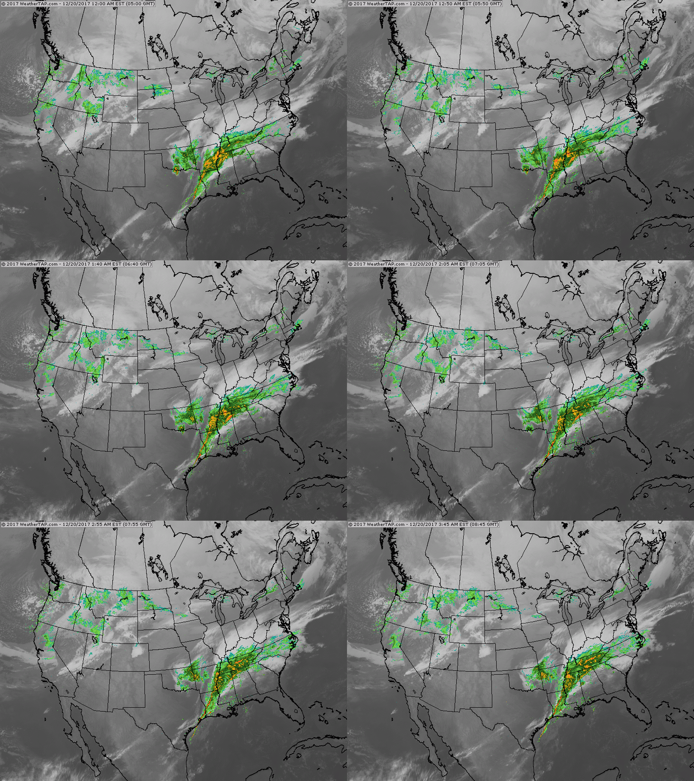
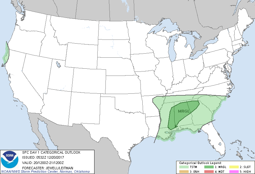
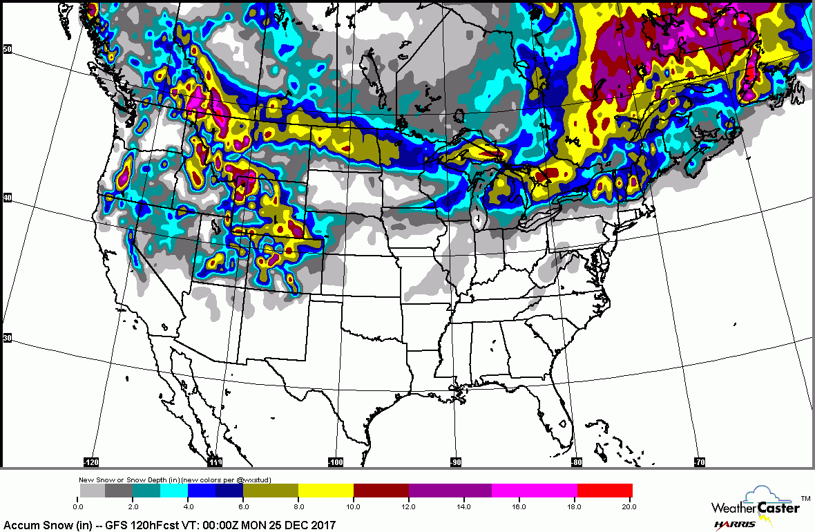
Two jet streams continue....rain Tennessee Valley south....snow moving out of Northern Rockies. A swath of snow will cover Northern New England Friday - into Saturday before changing to rain. Rain for Northeast Saturday. Computer models at odds for Christmas Day with a mounting threat for a winter storm for Northeast....stay tuned. Below..severe weather outlook for today in dark green....followed by accumulating snow projections for next 5 days.
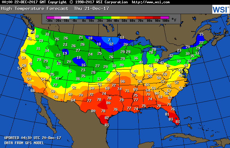
Before we get into the battle of models for Christmas Day....below..find temperatures for Thursday....then animated maps for next 2 days.
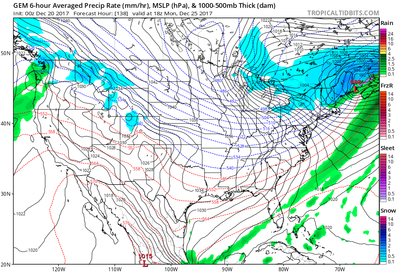
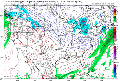
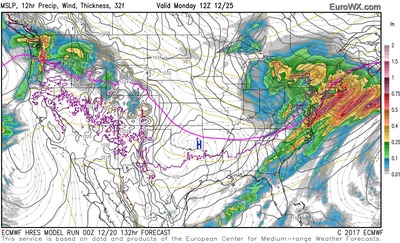
Above..3 computer models for Christmas Day: left..Canadian..snow for New England early Monday otherwise windy and cold elsewhere. Center..GFS - Flurries - otherwise sun. clouds, windy. Right - Euro - Rain for major cities- snow inland - all moving out during the afternoon. Take your pick. If I had to side with any of the above...in spite of the Canadian's track record thus far...I tend to lean toward Euro....which may not be a good situation if traveling. We shall see. Be safe.


 RSS Feed
