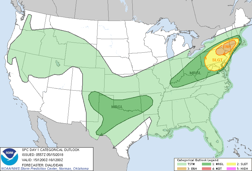
Above....today's outlook for severe weather concentrated in Northeast.
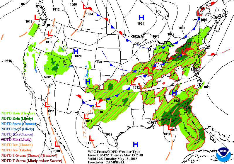
Yellow in slight risk....orange in an enhanced risk for areas from Poconos to Catskills...Berkshires and Conn. Below - satellite and radar show these storms already moving east from the Great Lakes. Wet weather continue for Florida due to a tropical like low there.
Yellow in slight risk....orange in an enhanced risk for areas from Poconos to Catskills...Berkshires and Conn. Below - satellite and radar show these storms already moving east from the Great Lakes. Wet weather continue for Florida due to a tropical like low there.

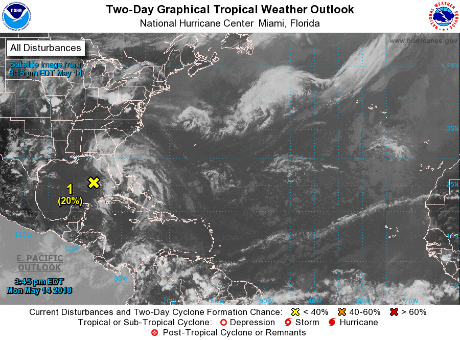
Below- satellite of Atlantic basin showing 20% chance of something tropical in Gulf. Following that - animated maps for the next 2 days.
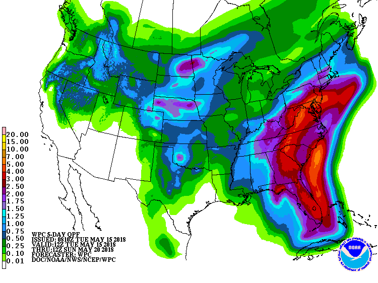
Below - rainfall expected over the next 7 days....red indicated 3" or more.
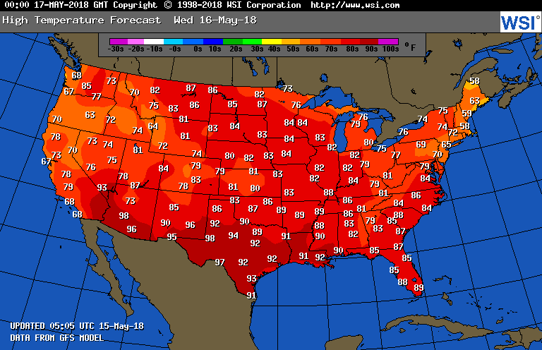
Lastly - high temperatures expected for Wednesday.
Lastly - high temperatures expected for Wednesday.

 RSS Feed
