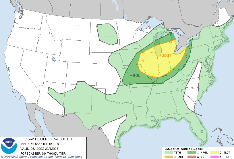
Wet for the East....thunderstorms Midwest. Both of these systems will move offshore by end of week and calmer - fall weather will take over by weekend. Unseasonably cold for Northern Rockies and Plains..even some snow there - not out of the question by late week. Below- today's threat of severe weather in dark green - yellow.
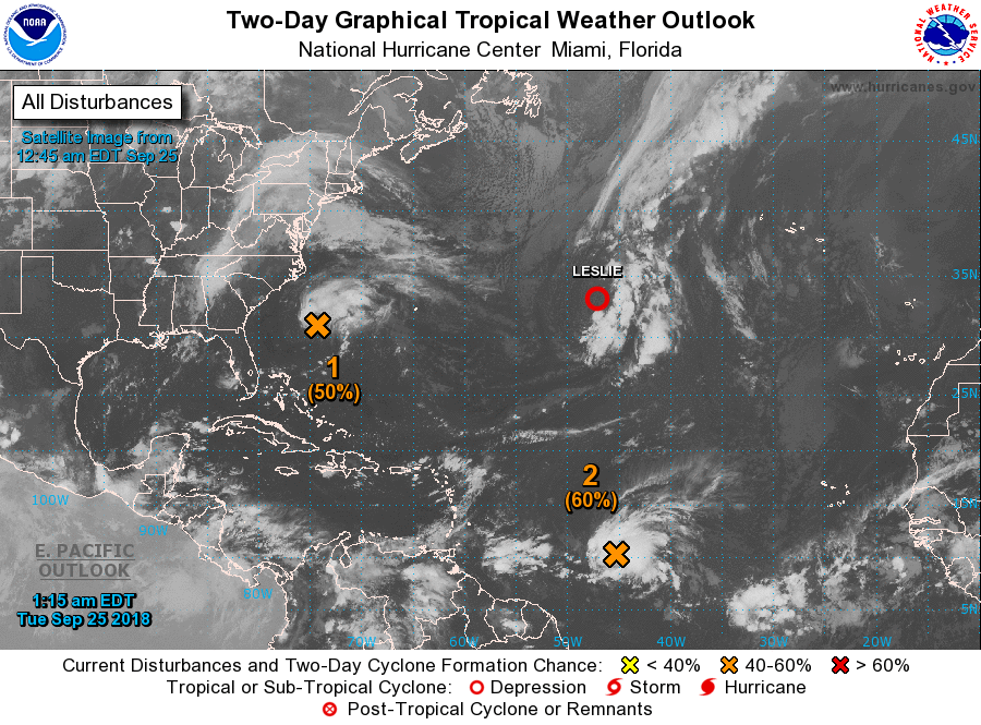
Below- satellite showing tropical disturbances. Kirk moving toward the Windward Islands could become a hurricane as the week moves on. His track also below.
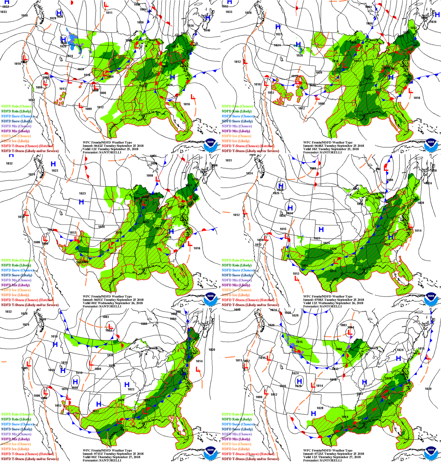
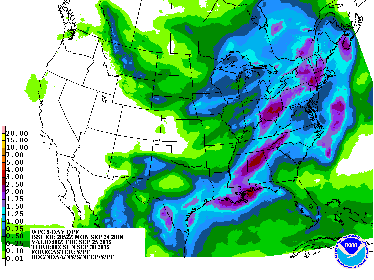
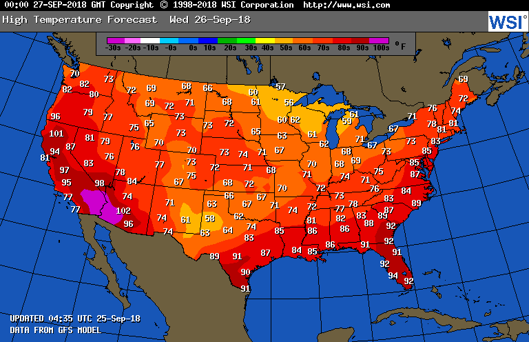
Below- animated maps for the next couple....then rainfall for next 5-7 days...followed by high temperatures for Wednesday. STay safe.



 RSS Feed
