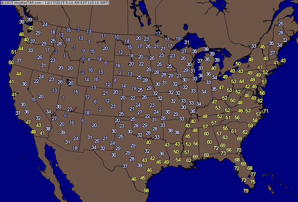
Satellite/radar shows cold front moving into the East with All rain. Colder air will follow for the weekend. Next storm in Pacific NW will be the big rain producer for Christmas week. Below..temperatures as of early this morning. Can you pick out the cold front ?
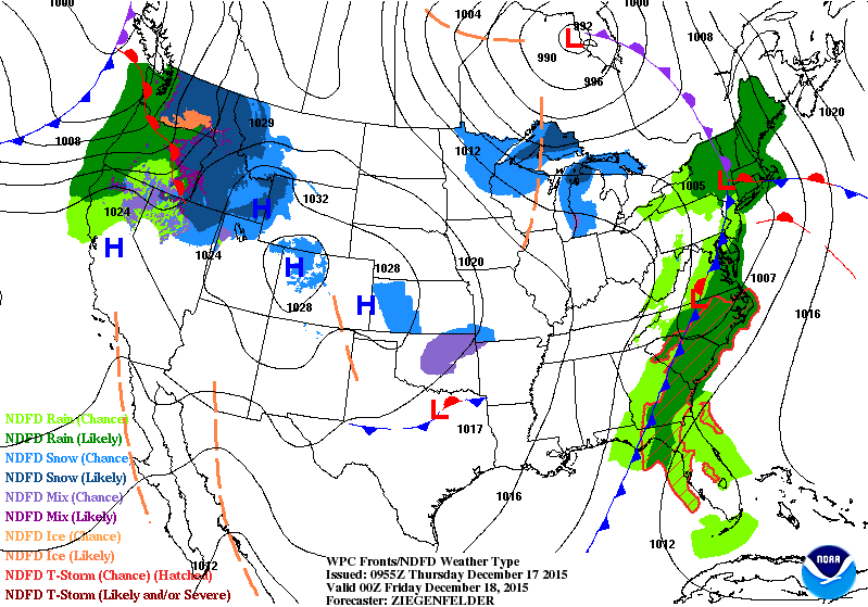
Above map is for this evening...showing cold front about to
move across the Eastern Seaboard with rain. Lake effect snows in the Great Lakes...as the next storm gets ready to
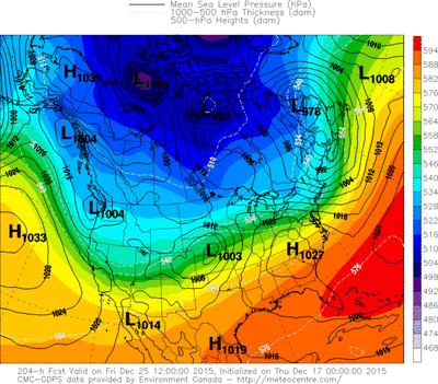
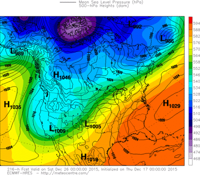
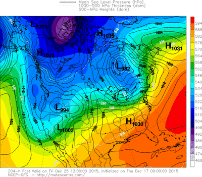
hit the NW. Below....the various computer models for Christmas Day. Most agree it will be dry for the Northeast...but still on the mild side for late December. Be safe.
move across the Eastern Seaboard with rain. Lake effect snows in the Great Lakes...as the next storm gets ready to
hit the NW. Below....the various computer models for Christmas Day. Most agree it will be dry for the Northeast...but still on the mild side for late December. Be safe.


 RSS Feed
