
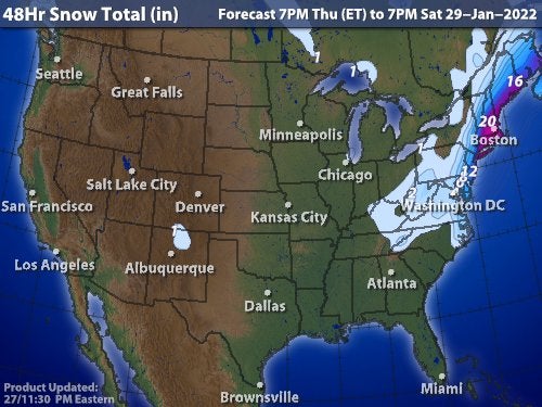
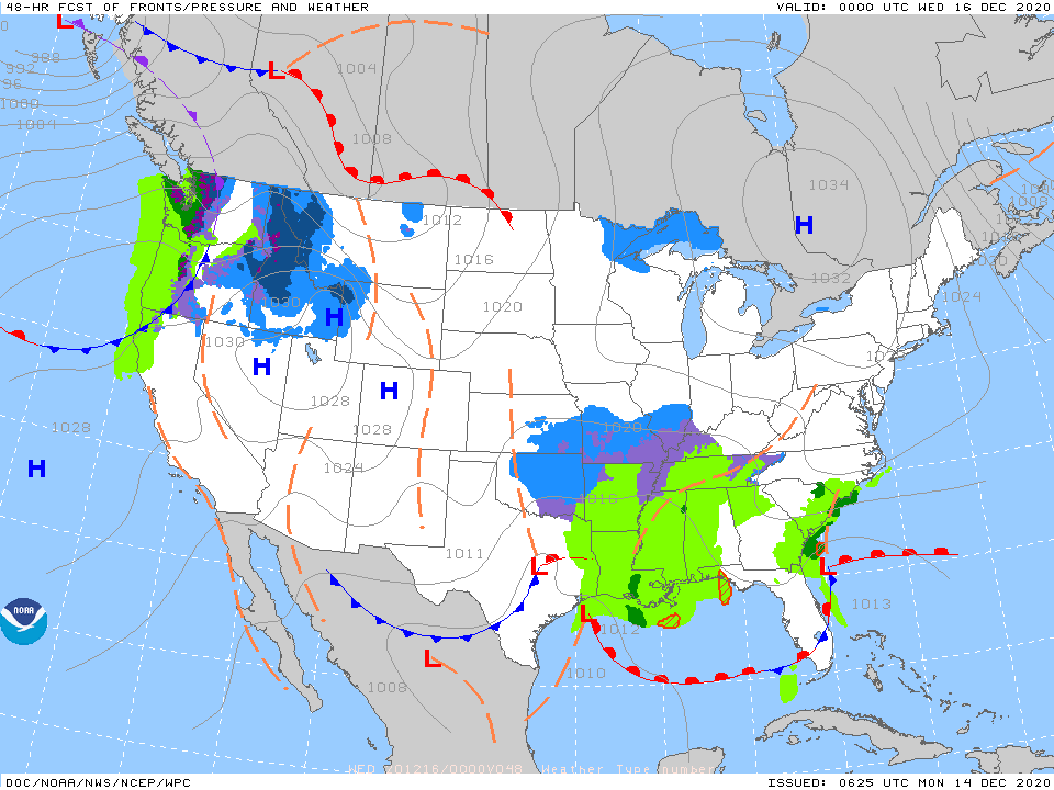
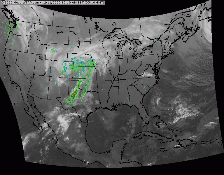
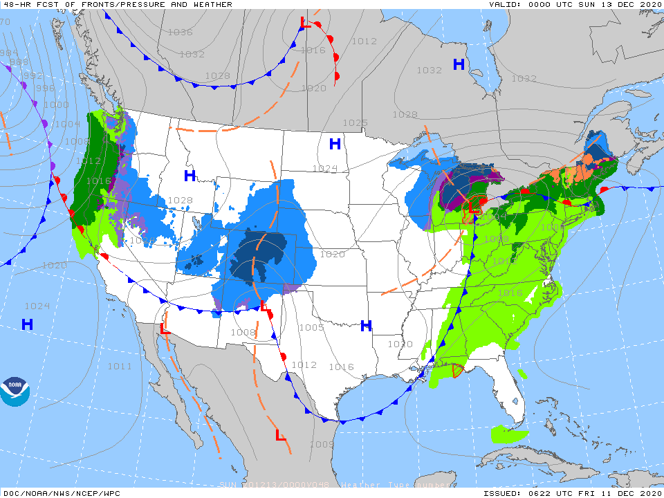
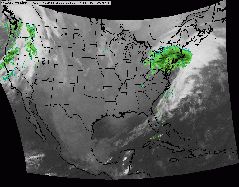
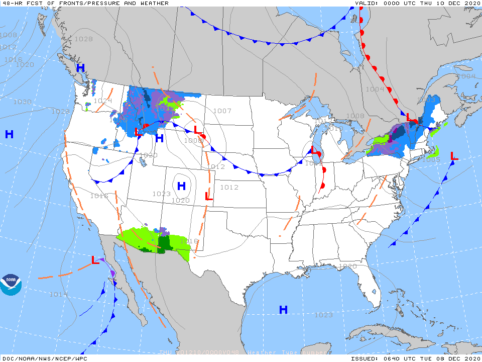
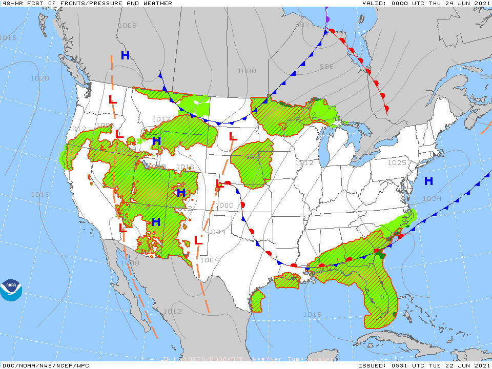
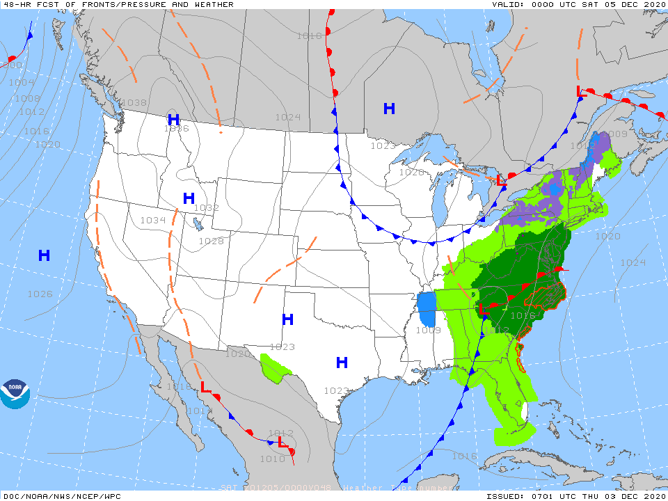
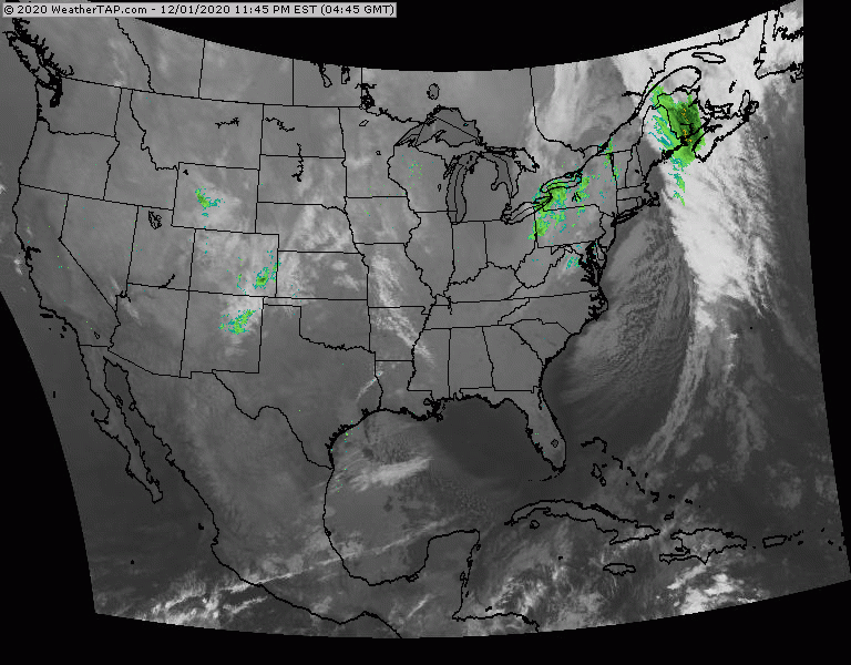
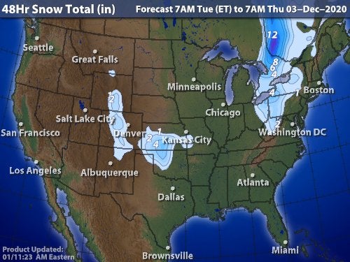
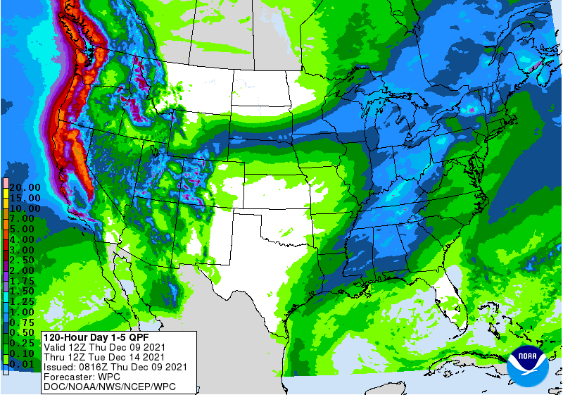
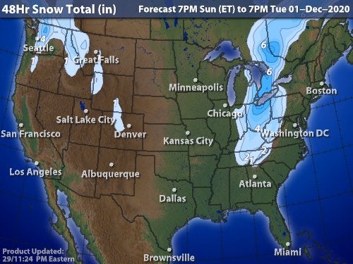
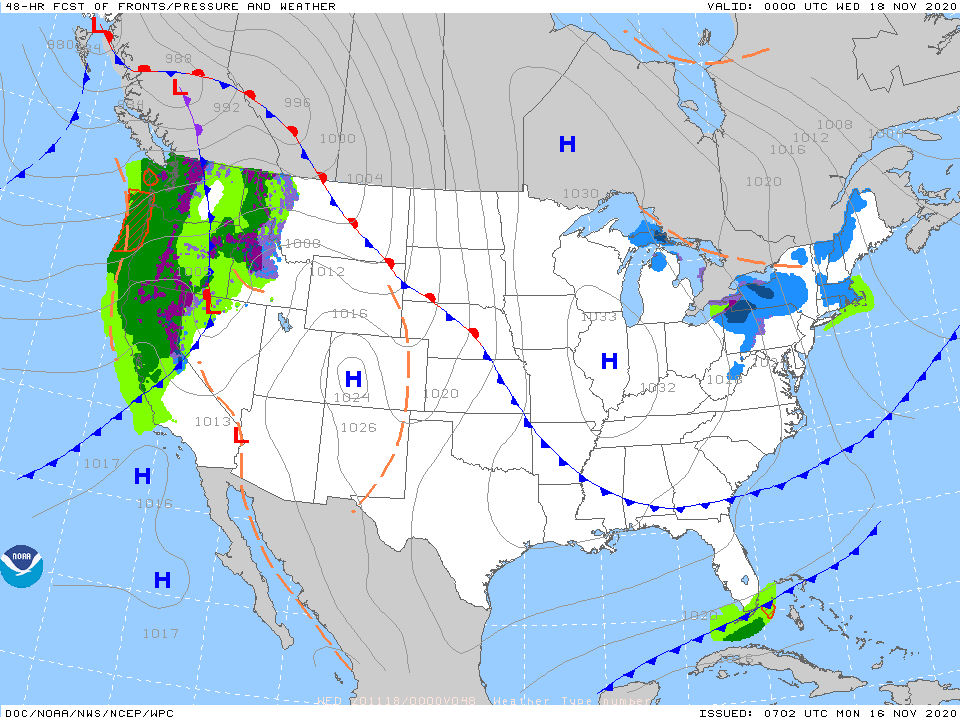
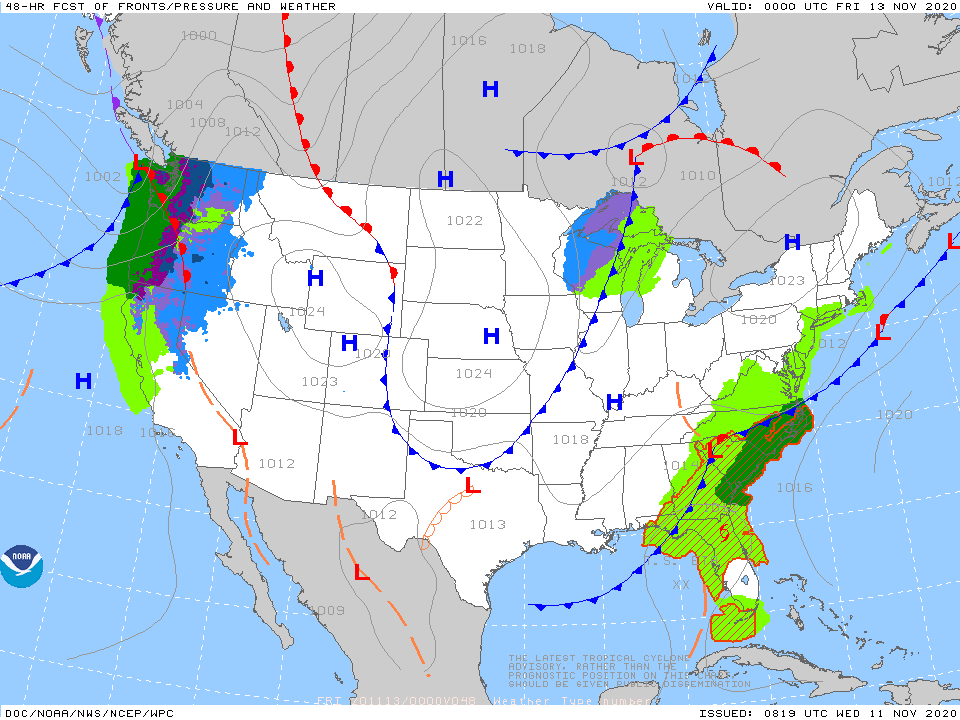
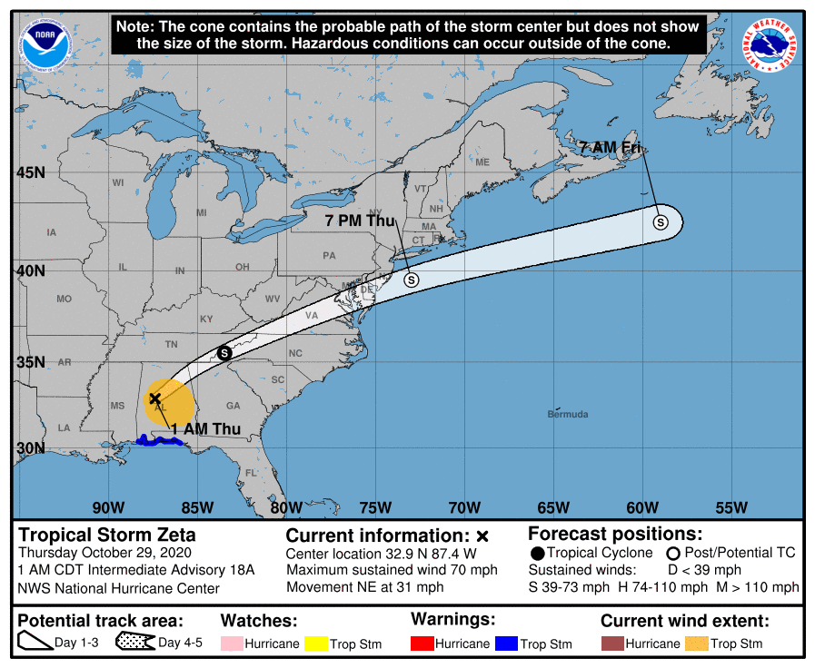
Satellite-radar above - storm moving up the Appalachians...mainly rain with some light wet snow higher terrain. System moving through West will head for Ohio Valley and turn into a nor'easter along the East coast. Snow for major cities on Wednesday - from Dc to Boston - many places in that corridor could wind up with double digit snowfall....rain for Mid Atlantic. Below - snowfall thru 48hrs - animated maps - rainfall into Saturday.


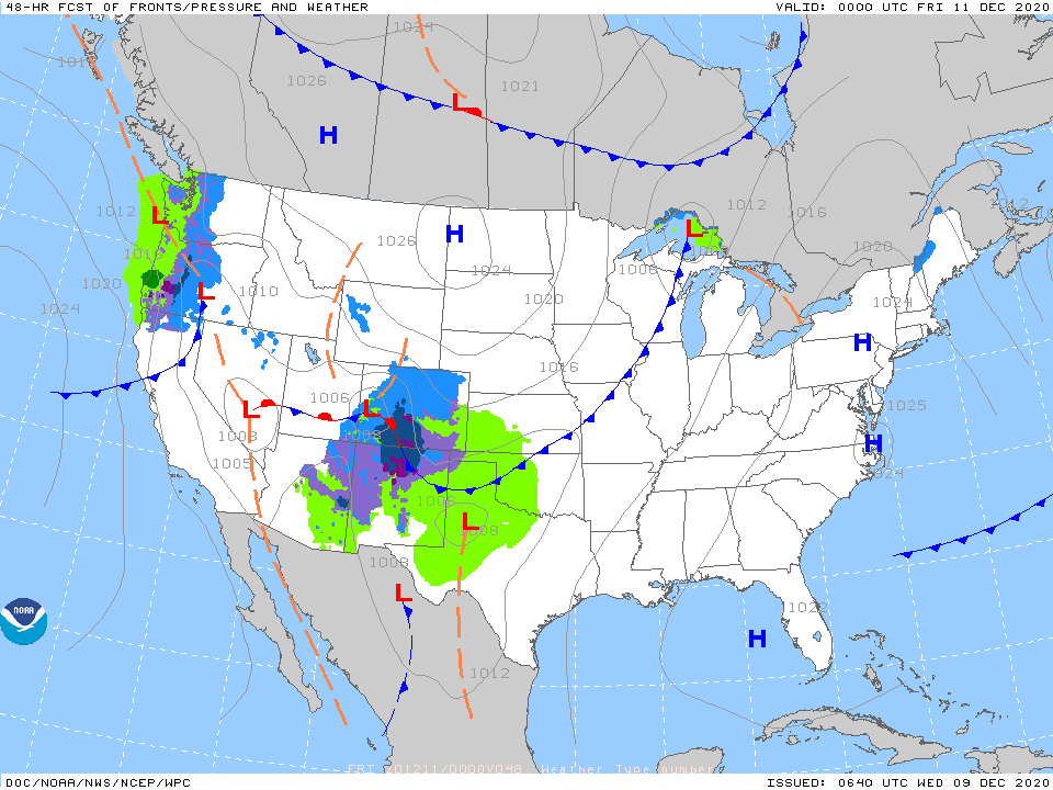
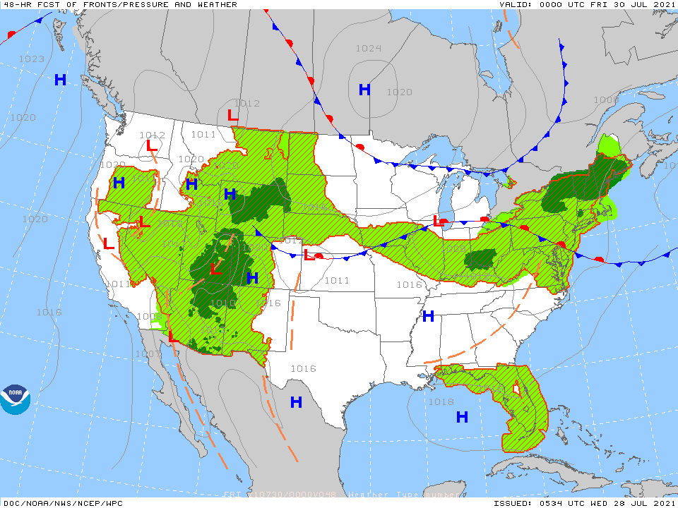
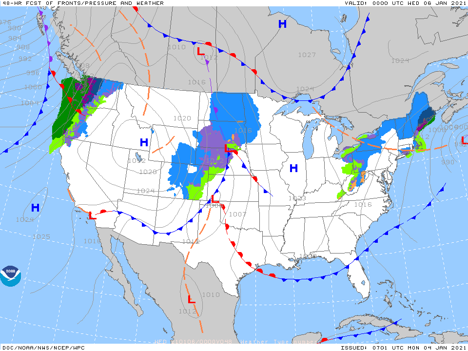
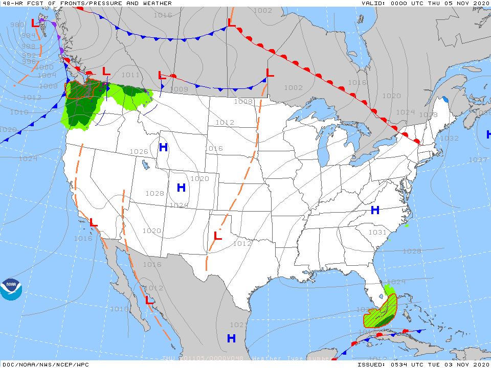
Below - snapshot weather for Tuesday. Be safe.


 RSS Feed
