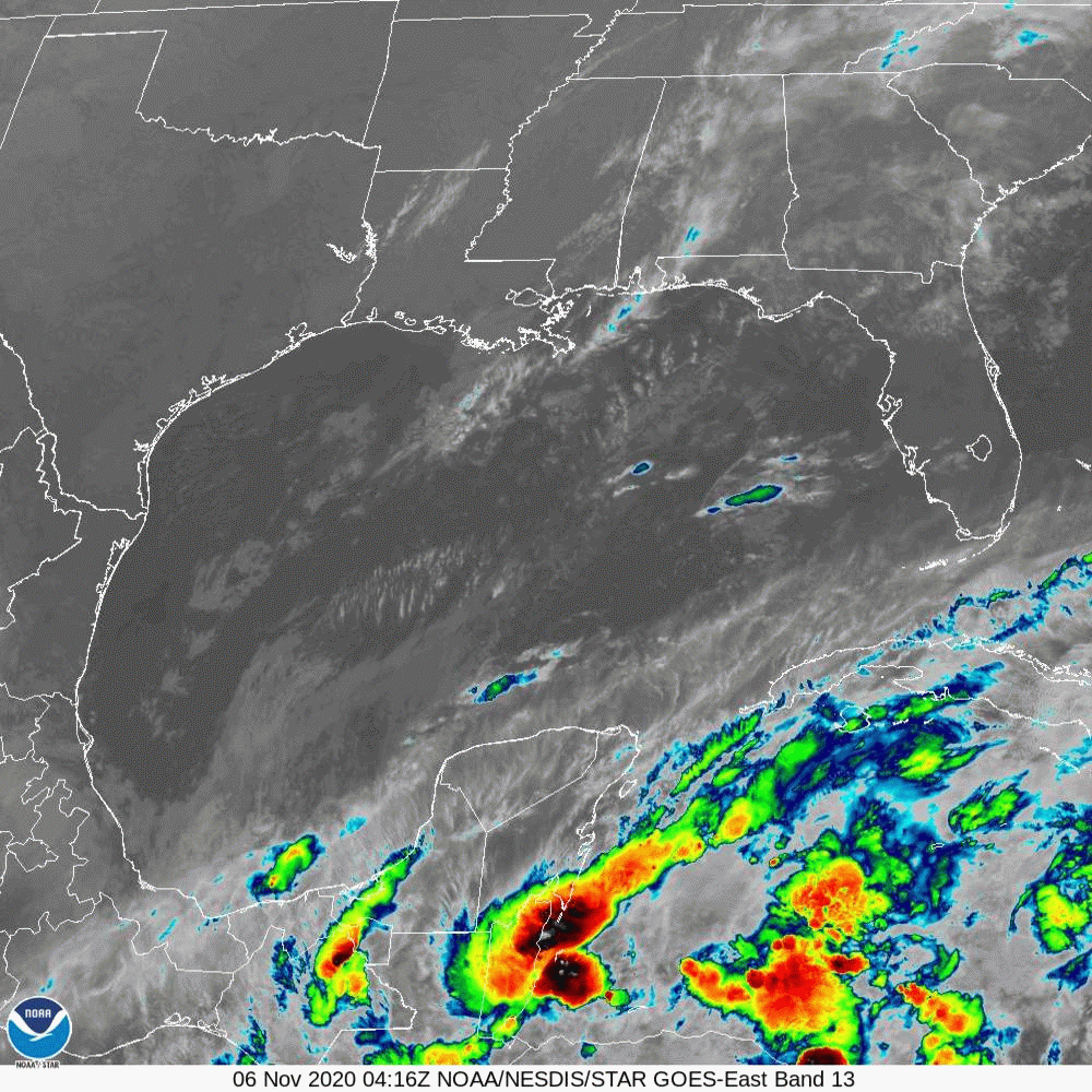
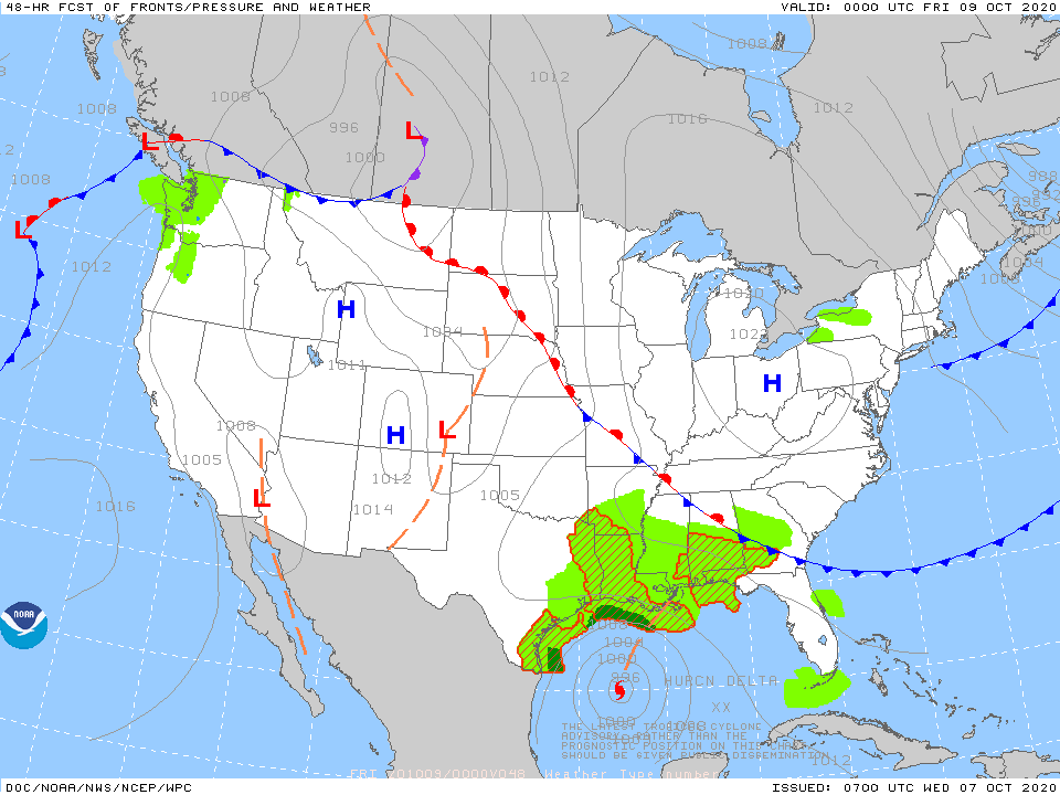
Hurricane Delta above with 135-140 mph winds heading toward the Gulf. It is expected to head toward Louisiana late Friday. Exact landfall hard to pinpoint as most models think west of New Orleans which would put that City is the worst quadrant of the storm. After landfall...it's rains will sweep norhteastward...how quick they arrive in the Mid Atlantic is yet to be determined. Below...track of Delta by hurricane center and by the models.

Below - satellite + radar showing a strong cold front moving out of Great Lakes that may result in gusty storms over New England today....otherwise strong gusty winds over the Northeast today and tonight...gusts to 50 mph possible.

Below - today's threat of severe weather - animated maps - rainfall through Sunday.


Lastly - snapshot weather for Thursday. Be safe.

 RSS Feed
