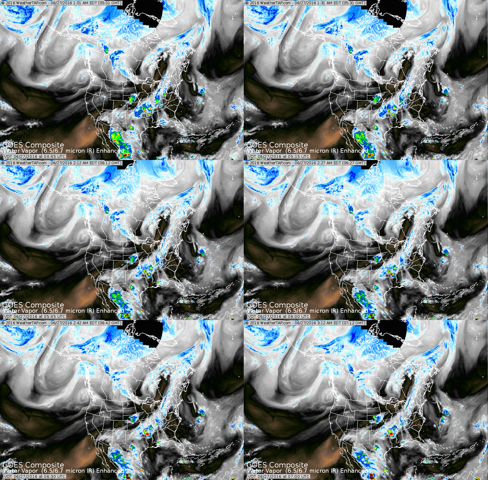
The small doughnut near Vacouver Is. indicates the next trof that will move into Northwest and bring some wet and cooler conditions. Otherwise...cold front over Gt. Lakes moving into
Northeast will bring some showers and back to seasonable weather.
Northeast will bring some showers and back to seasonable weather.
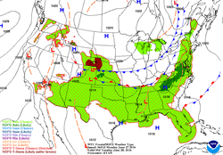
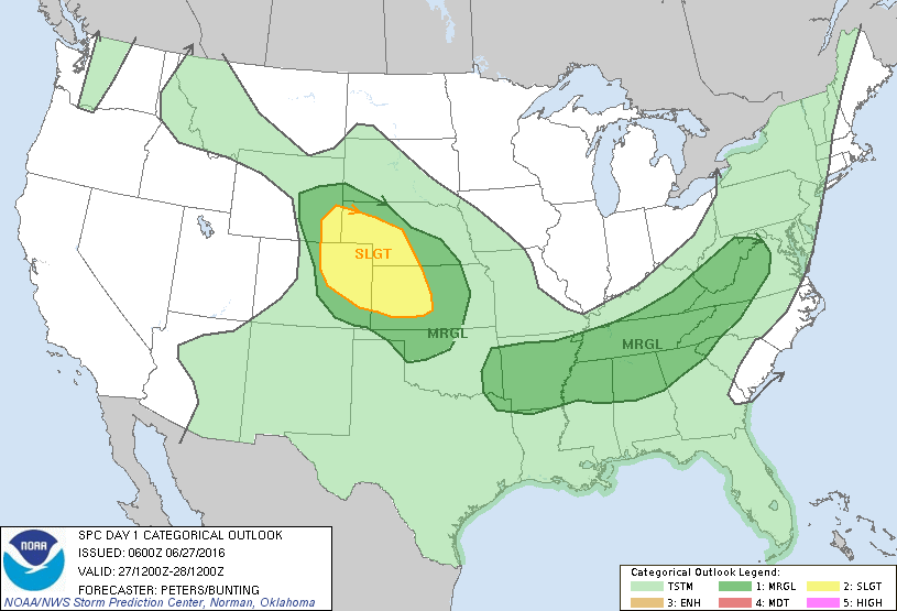
Cold front over Ohio Valley may bring more rain to already soaked W.Virginia. Below - outlook for severe weather today.
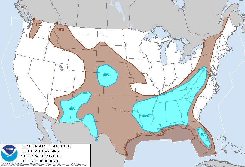
Below...map shows best chance of thunderstorms...and the probability of such.
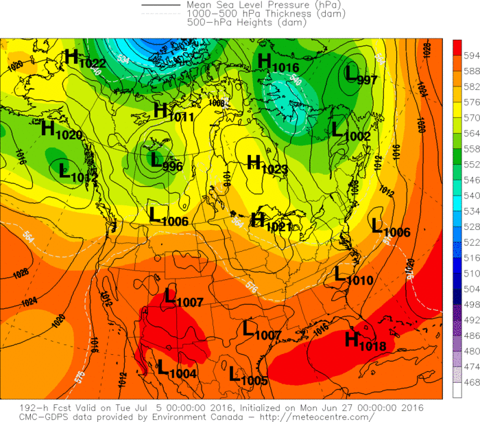
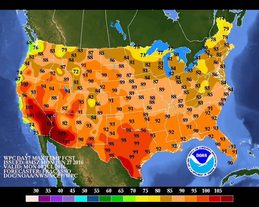
Below...map depicting projected weather for the big 4th.Lots
can change...but right now..eastern half of the Nation could
fare well. You will notice how the orange on map - very warm -
stays south. Yes !.
Be safe.
can change...but right now..eastern half of the Nation could
fare well. You will notice how the orange on map - very warm -
stays south. Yes !.
Be safe.

 RSS Feed
