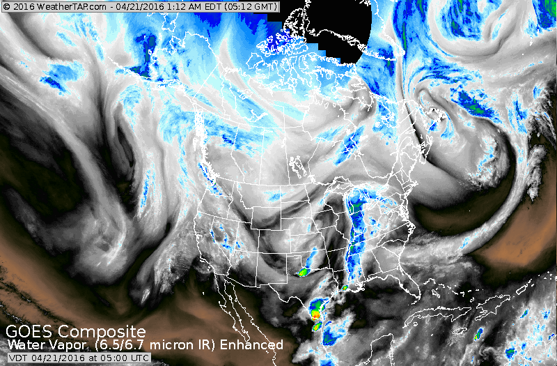
Satellite shows upper low spinning in the Plains. Notice...slight movement to the dark blue area in Ohio Valley.....all an indication of how slow things are moving. That rain may not reach the East Coast until late Friday.
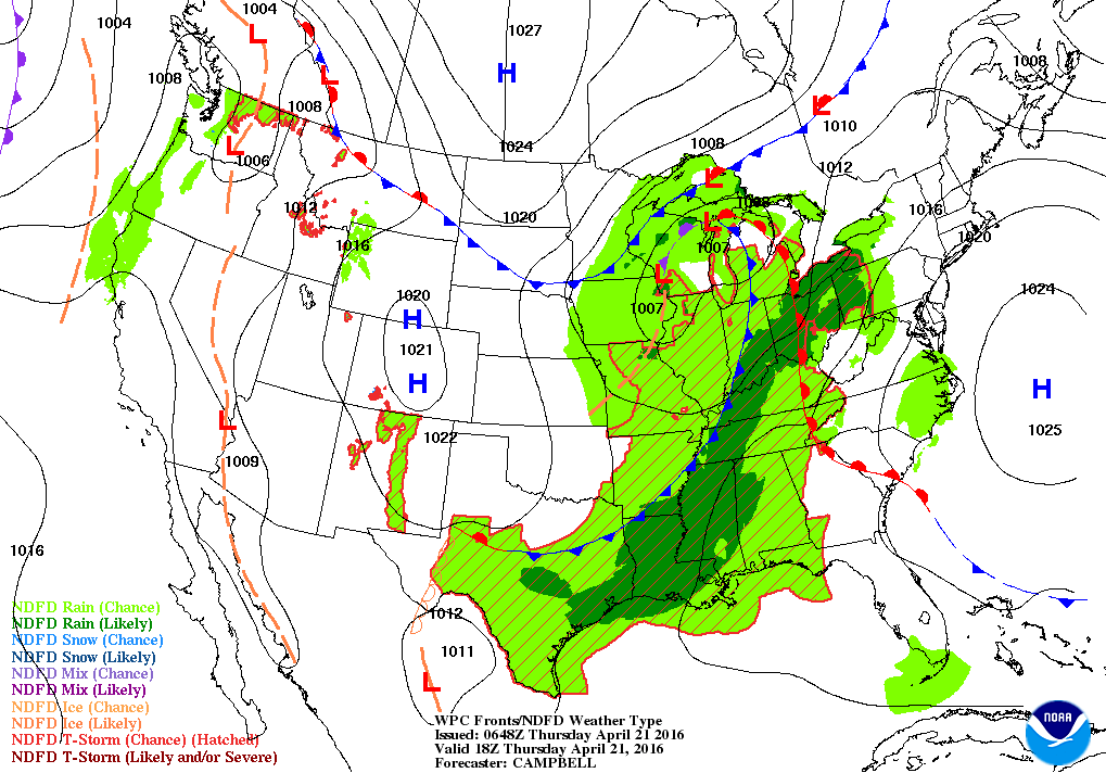
Above...our weather map shows that slow system allowing it to stay dry on both coasts. Below...amount of rainfall expected over the next 7 days.
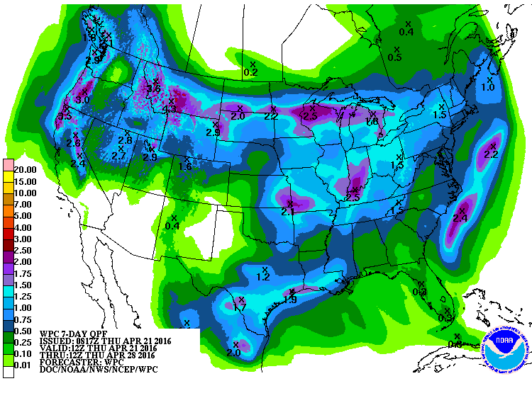
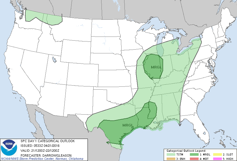
Chart below shows threat of severe weather today in dark green which is only marginal.
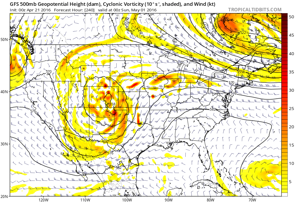
Below...upper air map suggesting a large upper low west.....and a ridge to build east. This will take about 7 to 10 days...and should signal warming East - cooling west.
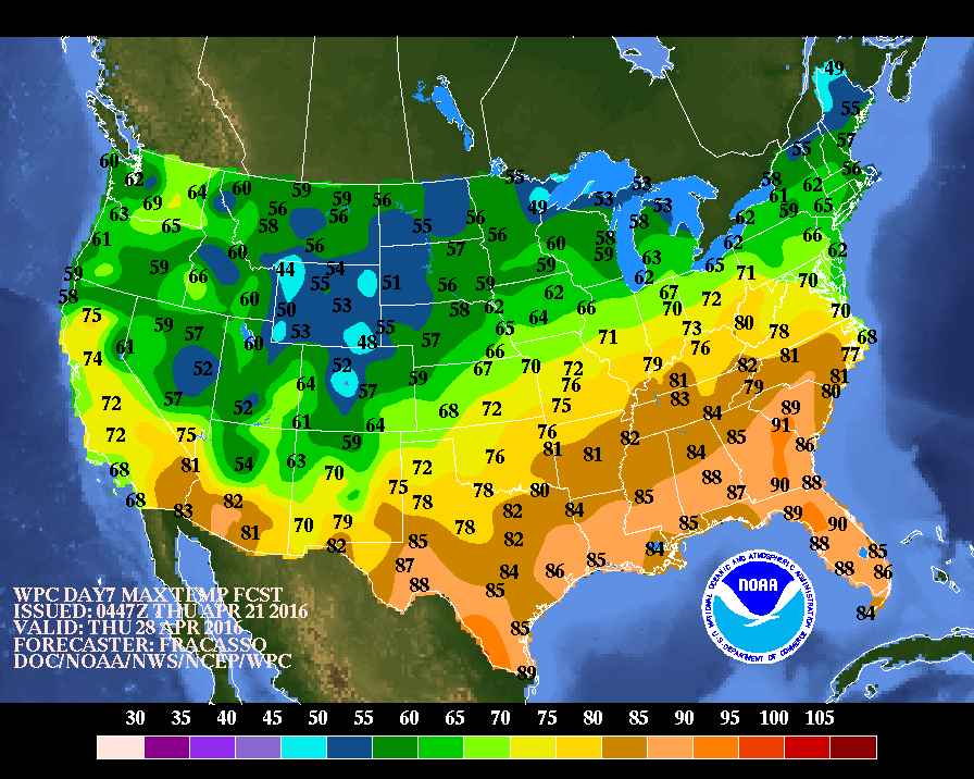
Finally...last map showing high temperatures for next Thursday. You can see the trend above. Be safe.

 RSS Feed
