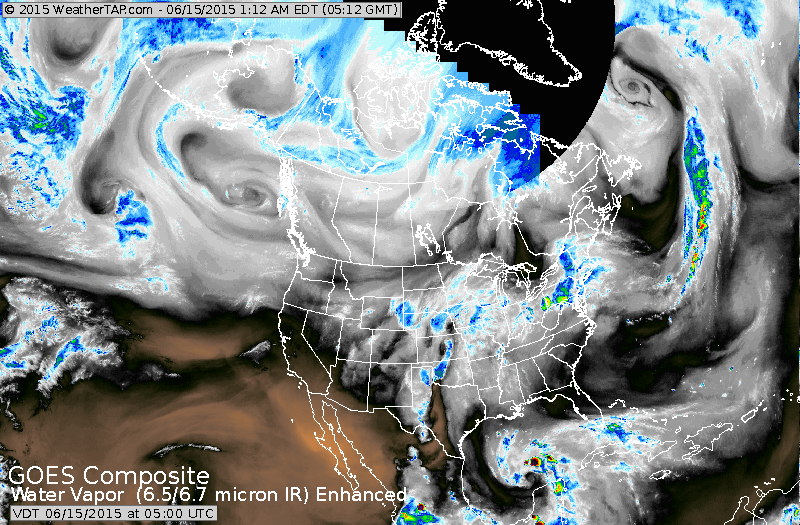
First....very dry out west. Moisture from Texas to Midwest then east to Northeast. Swirl in Gulf could be the next tropical system....if so...it would be "Bill".

This satellite is overlayed with radar....once again Texas to Northeast.
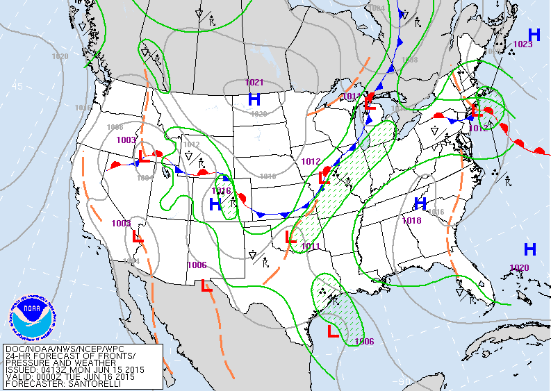
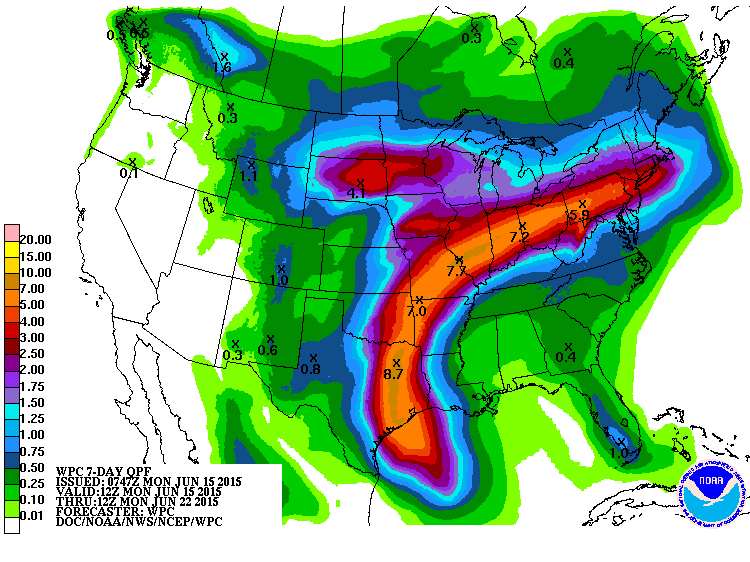
This map is valid for Monday evening...and clearly shows why the moiosture band continues from Texas to Northeast.
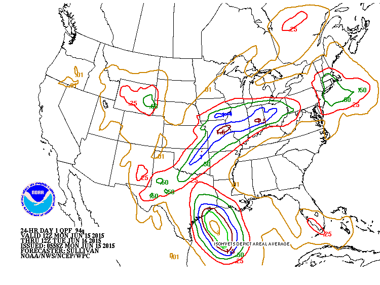
Rainfall amounts today and tonight...look underdone in Northeast since many places already have had more than projected.
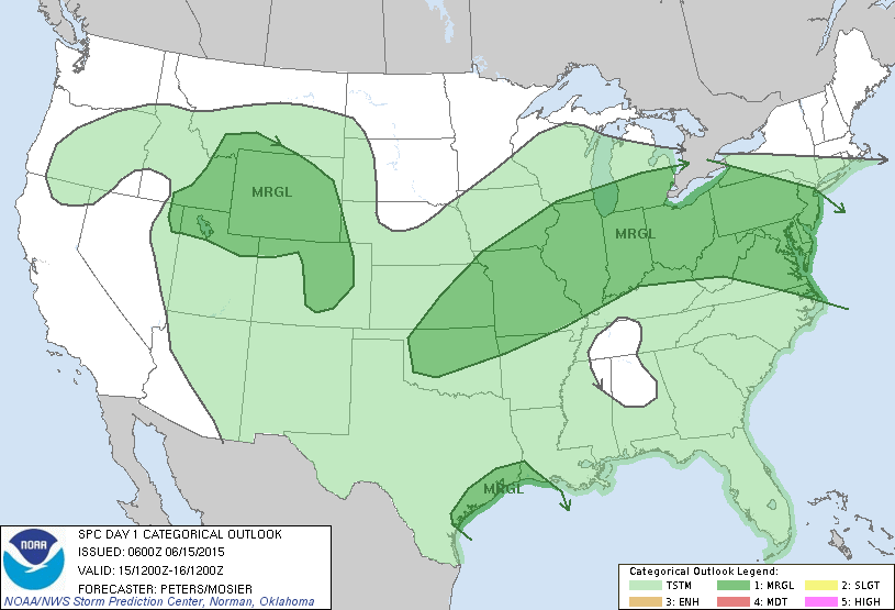
Dark green shows risks today with possible severe storms.
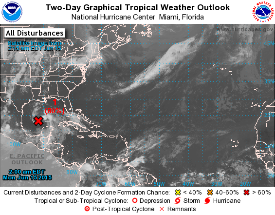
Red x shows a 60% chance of this system becoming tropical. Hurricane sending a plane in for investigation today.....but it should move toward the Texas coast giving them more rain which is not needed at this time. After that...moisture from this system will hope aboard the jet and head northeast to bring more heavy rain to same places getting rain today. So...Northeast and MidAtlantic...looks like you will make up your deficit this week and weekend.
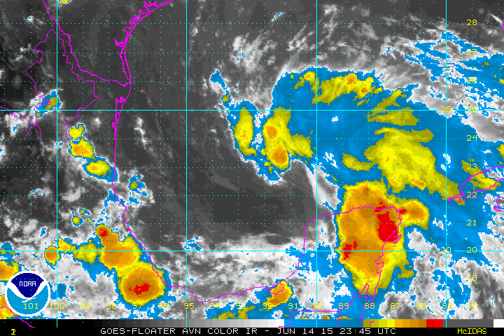
Close up satellite picture of tropical system in Gulf.

 RSS Feed
