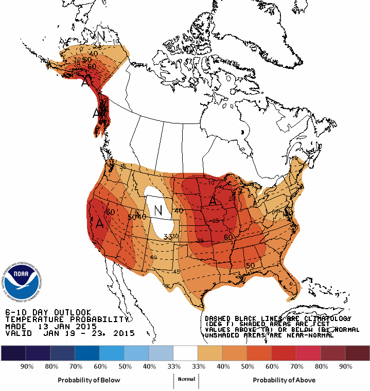
Fair - cold much of the nation. Small area of light blue in Mid Atlantic is a little light wintry mix...all of which moves offshore today. Moisture moving along Gulf Coast will connect with moisture in Northern Plains late this weekend for some tricky weather in Northeast.
Map above for this evening. Low moving off Carolinas...taking precip with it. Clipper low north of
Border...will be 1 of 2 that will head east across Gt. Lks and Northeast. First one brings wind on Friday. 2nd one brings a chance of rain late Sunday to Northeast....but it may not end there. As that system heads in...the jet stream will take a sharp dip to southeast....we refer to that as a negative tilt.
That will induce a small storm right along the coast...and it could not only generate heavy rain Sunday nite...but it could easily change to wet snow..by Martin Luther King's
Day. More on this tomorrow.


 RSS Feed
