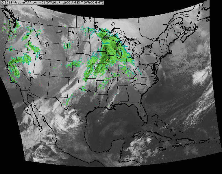
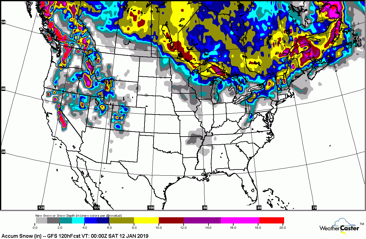
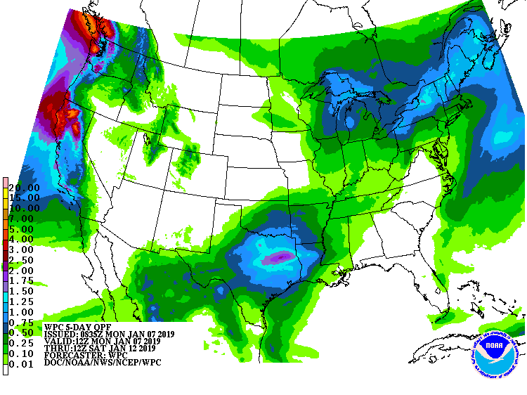
Satellite + radar shows a front moving across the Great Lakes which will bring a wintry mix changing to some rain across The East. Pieces of cold air will follow behind this system mid to late week. Below - expected snowfall and rainfall for next 5 days.
Animated maps for next couple of days. There will be 2 systems heading toward the East for late this weekend. Hard to say if they will join up and become a coastal storm...but it is not out of the question.
Below - high temperatures for Tuesday. Be safe.


 RSS Feed
