
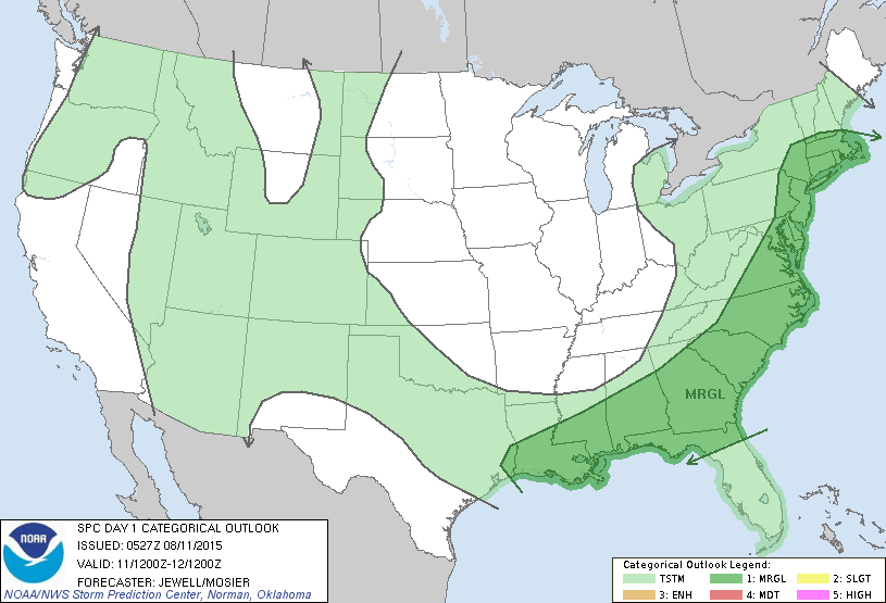
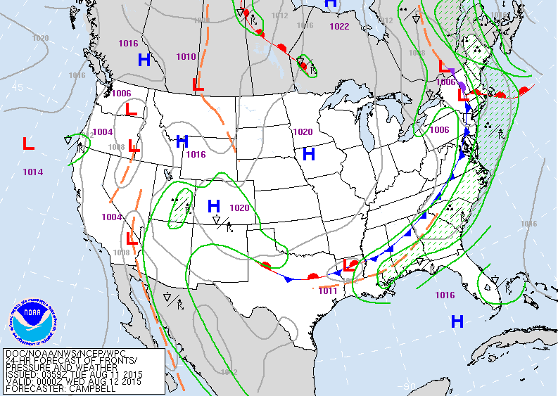
Satellite/ radar shows a cold front in the east with showers and storms today...producing locally heavy rains. Showers and storms in the southwest and some over the Pacific Northwest otherwise quiet days ahead. Below...today's risk of severe in dark green....marginal...at that.
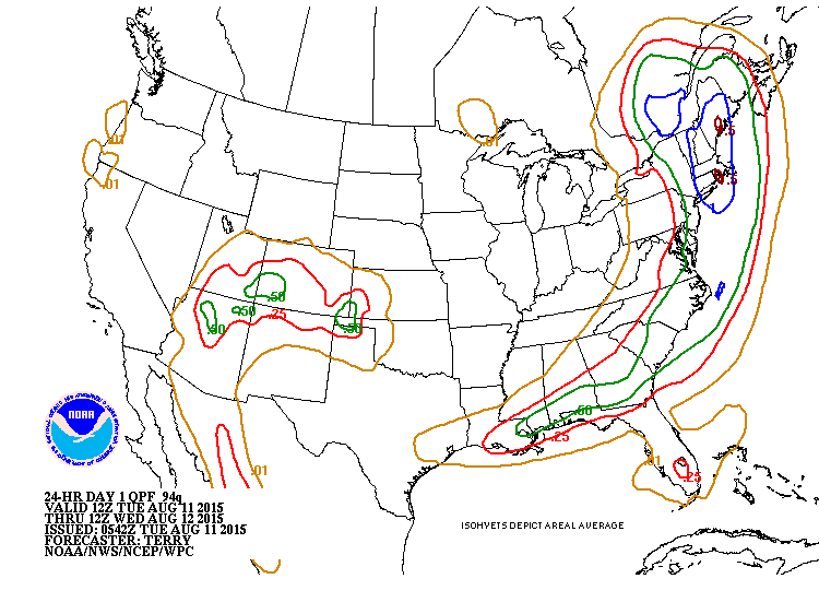
Below....today's National Map showing the cold front in the East.....and quiet weather elsewhere. Below that....amounts of rainfall expected through tonight....heaviest in Northeast.
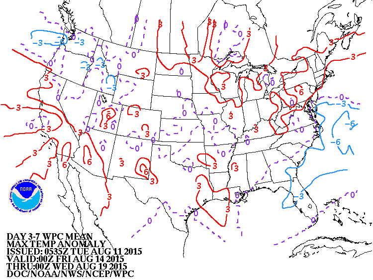
Below....how temperatures will average during the daytime over the next 7 days. Red = above .....blue = below. Be safe.

 RSS Feed
