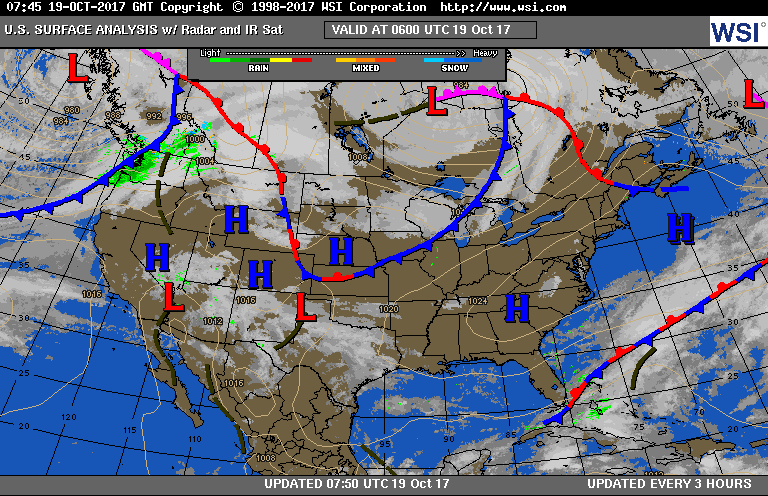
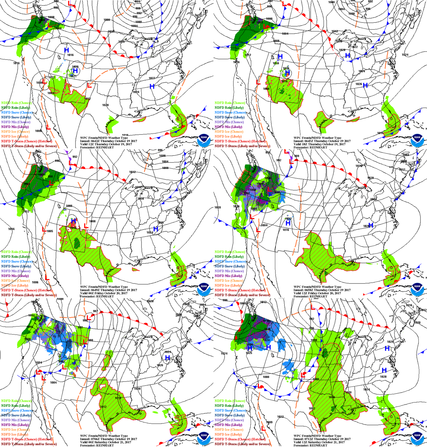
Not much happening on satellite & radar except in Northwest. That trend continues but will change big time by late weekend. Below...current weather map following by animated maps for next couple.
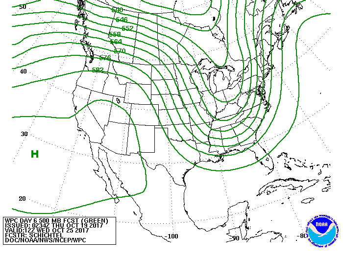
Below- upper wind flow-jet stream for early next week. This trof will eject moiosture out of the Gulf of Mexico and bring in cold air over the Great Lakes. Result - heavy rains for The East - snowshowers Great Lakes.
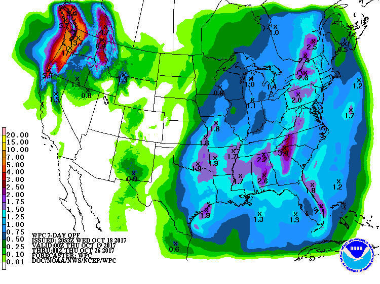
Below - rainfall projections for next 7 days. Be safe.


 RSS Feed
