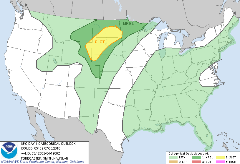
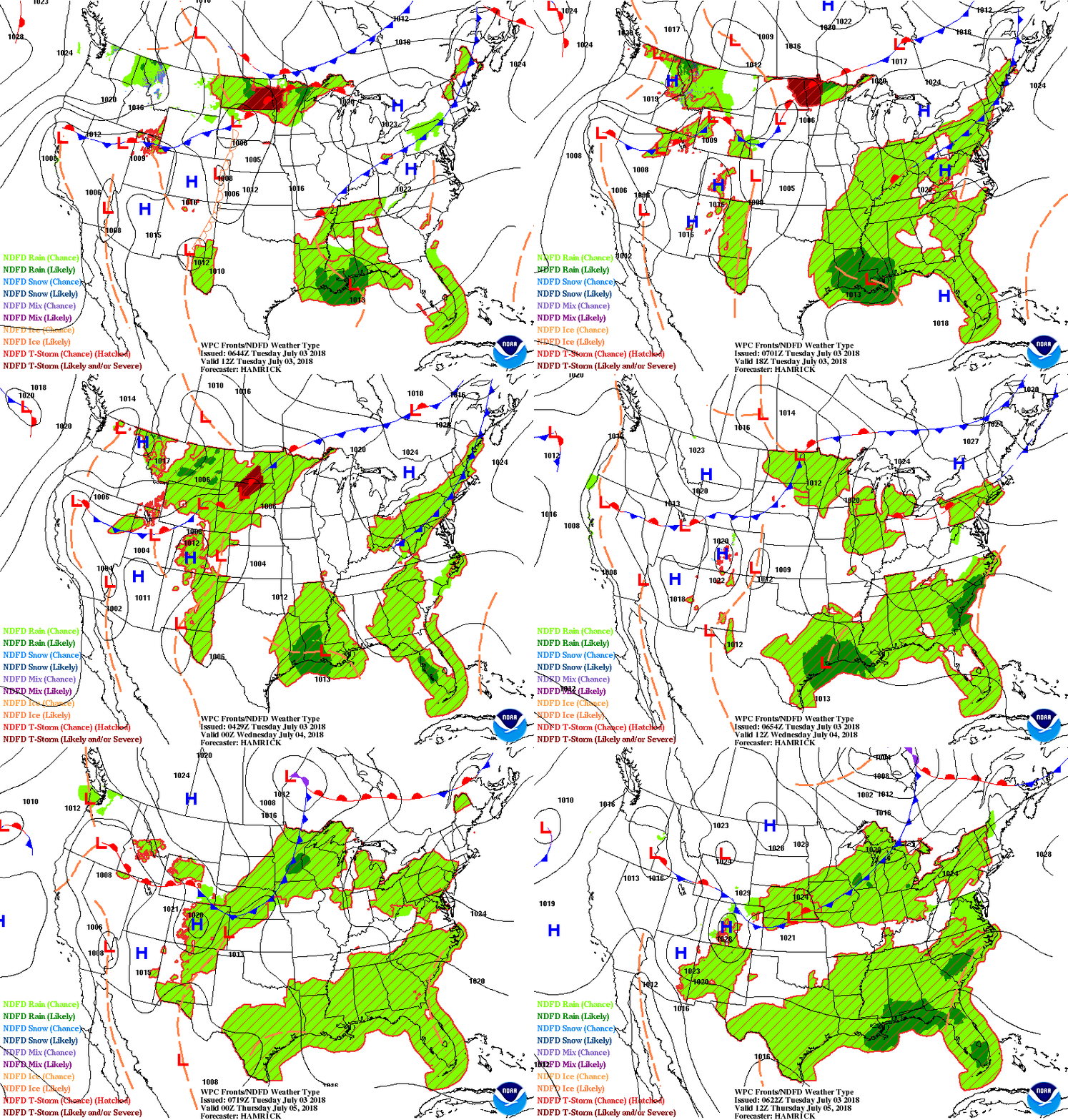
Above...radar-satellite show a circulation in Atlantic off Carolinas....moving toward the coast but cold front on Friday should steer it out to sea. System over Louisiana will produce rain but not likely to form into anything as it is close to land. Storms in Montana and upper Midwest will break the heatwave in Northeast come Friday. Below - today's risk of severe weather in dark green and yellow.
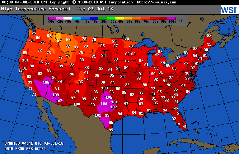
Below- expected high temperatures for today - followed by animated maps for the next 2 days.
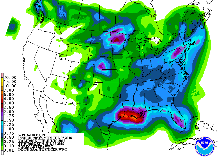
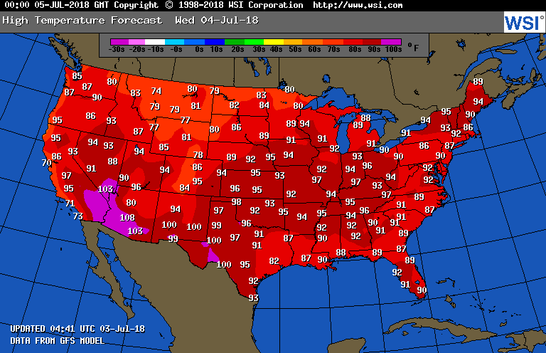
Below - expected rainfall through Friday night....followed by high temperatures for Wednesday - THE 4th. Be safe and have a nice holiday.


 RSS Feed
