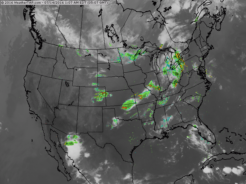
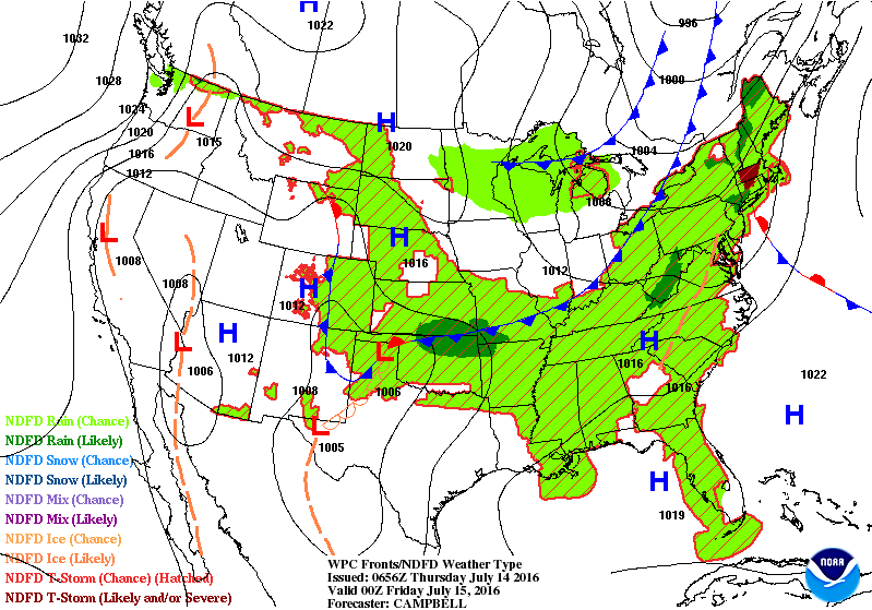
Cold front # 1 - producing showers and storms from Northeast to Southern Plains. Cold front # 2 - producing showers in upper Midwest. Below...weather map for this evening....showing the progress of both of those fronts .
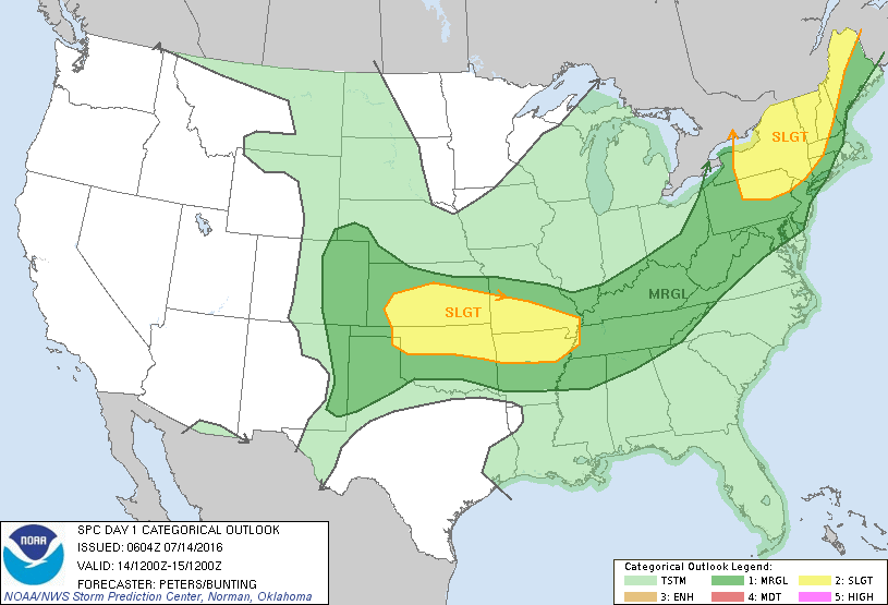
Below...outlook for severe weather today in dark green and yellow...mostly caused by cold front # 1.
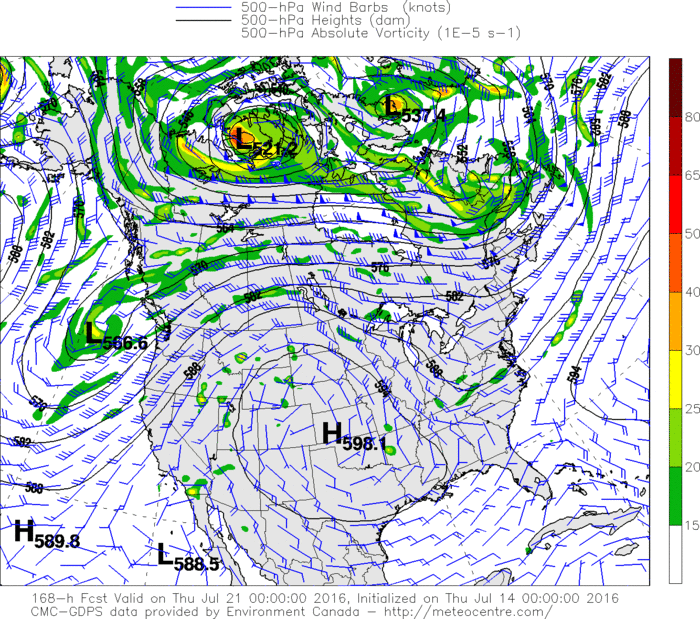
Below....map showing upper air pattern for next week. Trof over the East - ridge over the west.....so cooler east - warmer west....what else is new ? Be safe.

 RSS Feed
