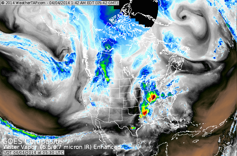
Those spring colors of green and orange symbolize heavy rain and thunderstorms. That wet system will clear the East Coast in time for weekend....but keep the south wet. Next area in Northwest will
come east and should bring more wet weather Monday/Tuesday to The East.
come east and should bring more wet weather Monday/Tuesday to The East.
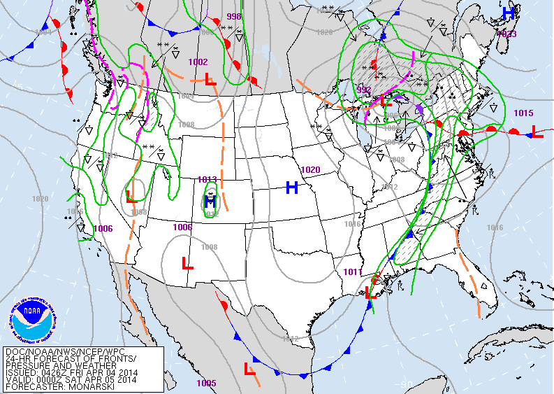
Above...map for late today. Interesting that today's map will look like
the map we expect for next Tuesday. In any event...as the cold front
moves east from Ohio Valley....a risk of severe weather is possible today. Below...the map showing the risk.....outlined in yellow.
the map we expect for next Tuesday. In any event...as the cold front
moves east from Ohio Valley....a risk of severe weather is possible today. Below...the map showing the risk.....outlined in yellow.

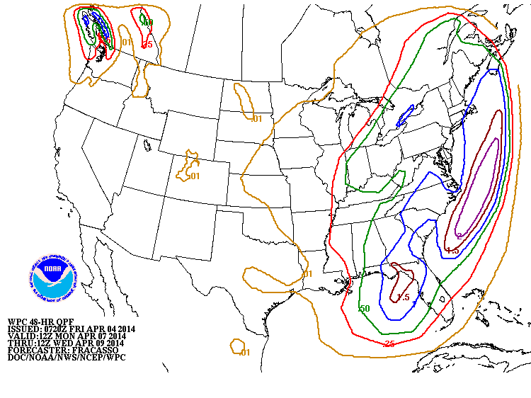
Above....amounts of rain for storm Monday and Tuesday of next week.
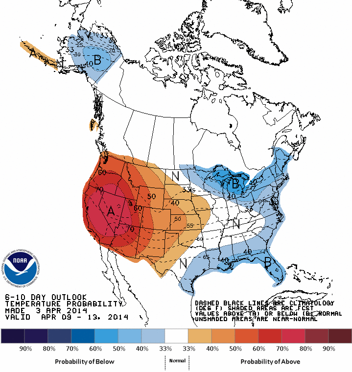
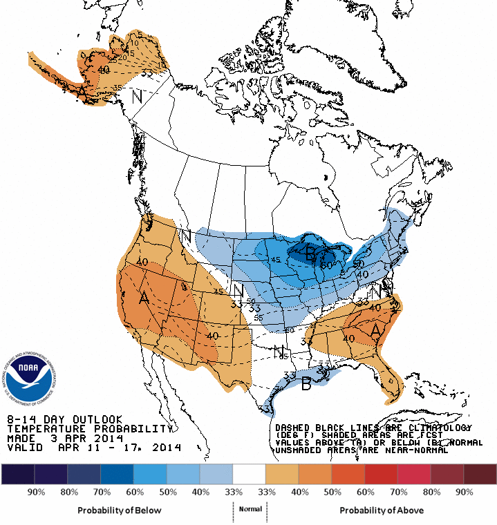
Again...around 1" (blue) for a good part of The East Coast.. Below...maps showing how temperatures will average for the next 2 weeks. Not much change in The Northeast....below the norm.
Again...around 1" (blue) for a good part of The East Coast.. Below...maps showing how temperatures will average for the next 2 weeks. Not much change in The Northeast....below the norm.
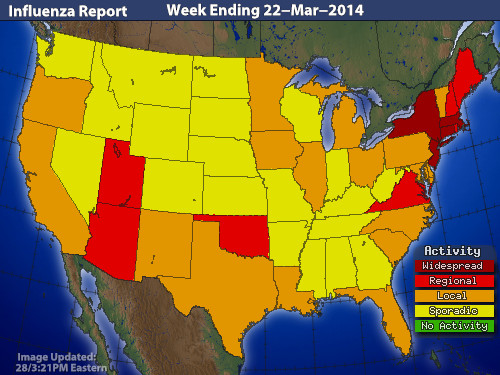
Finally....big improvement nation-wide for the flu report. Have a safe weekend...see ya Monday.

 RSS Feed
