
Satellite/radar shows cold front swinging through Gt.Lakes and Plains with showers and storms. Front will be over Northeast Wednesday/Thursday. Very cool air over No.Rockies and No. Plains.
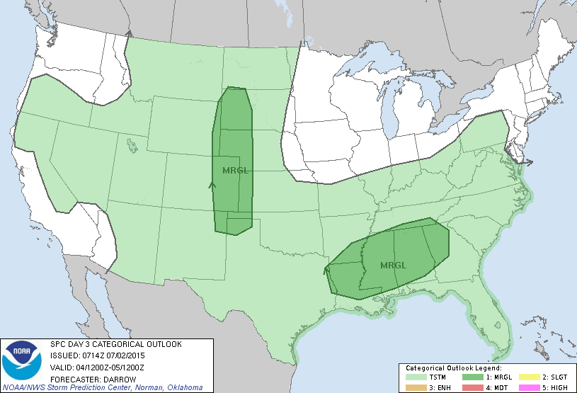
Today's severe weather threat....only marginal...in dark green areas.
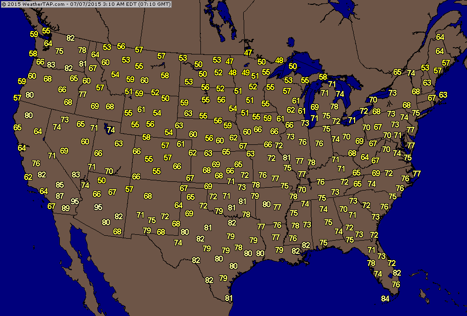
Early morning temperatures.....very cool Northern Plains for early July
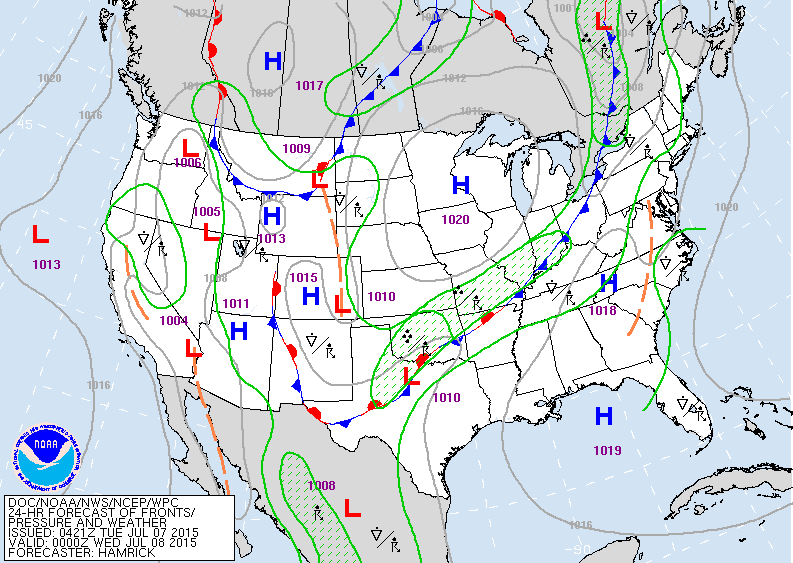
Map for this evening showing one cold front across Ohio Valley with showers and thunderstorms along it. Second cold front over Northern Rockies will slowly move southeast through the week.
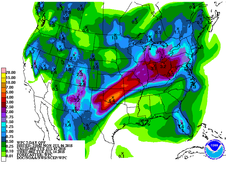
Rainfall amounts expected over the next 7 days. Notice that again the heaviest rain stretches from Texas to Ohio Valley...where it has been all season long. Be safe.

 RSS Feed
