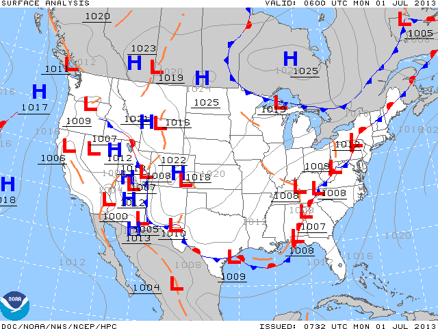
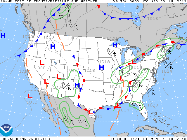
Latest weather map shows a stalled front in the East which in time will get pushed west. Until that happens...showers and thunderstorms will be moving from south to north over the eastern 1/3 of the Nation. The second map shows how the system moves west in 48 hrs.
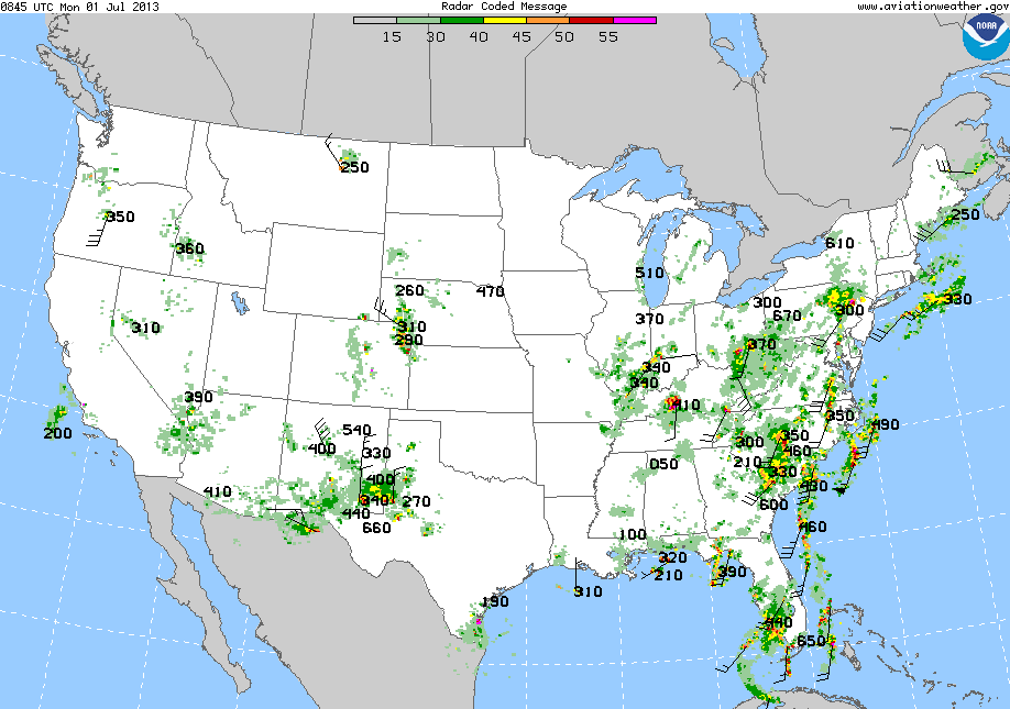
Monday a.m. radar shows the plume of moisture we are talking about.
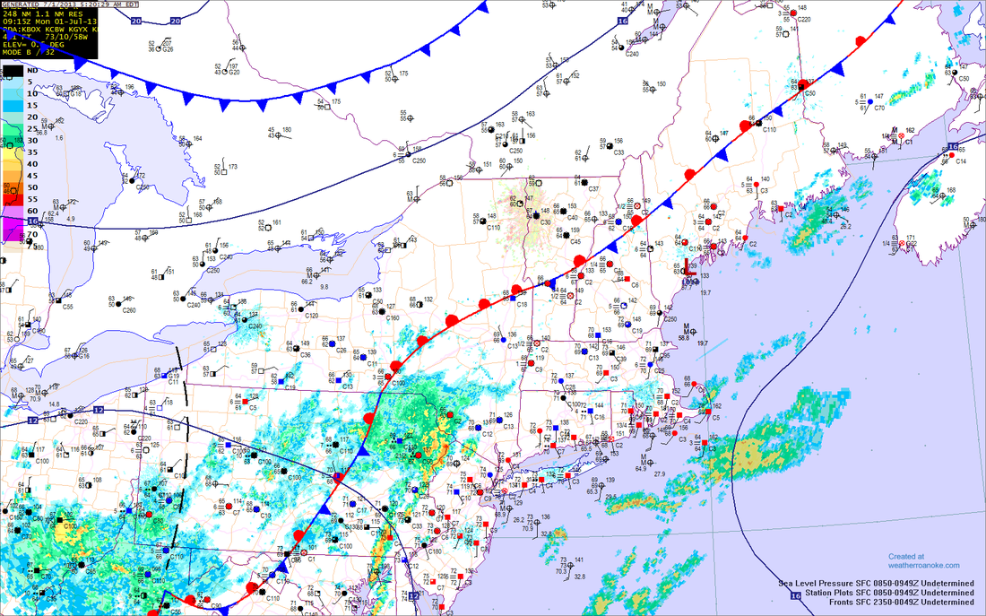
2nd map is a close up sectional of The Northeast.
2nd map is a close up sectional of The Northeast.
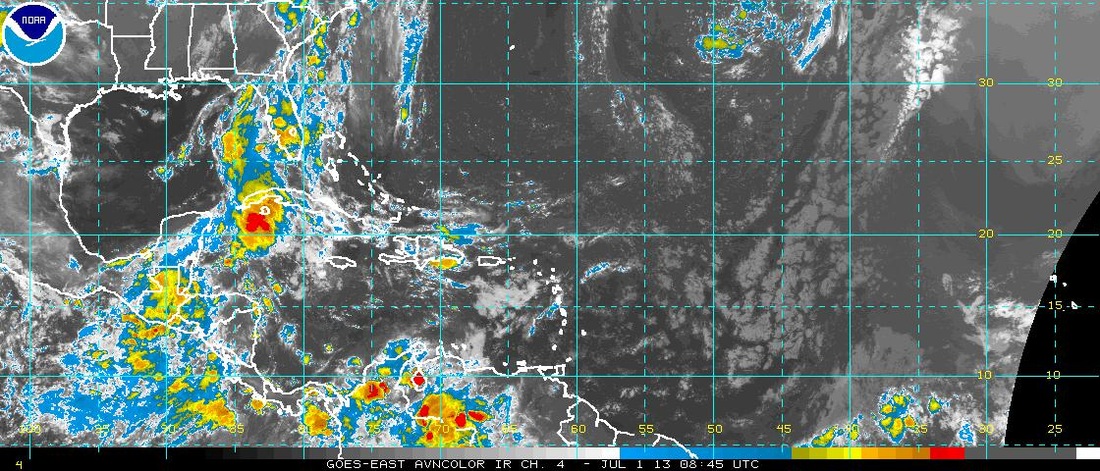
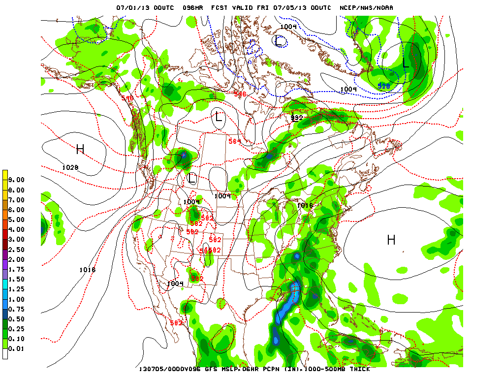
A look at the tropics.....all is quiet. Finally the GFS predicition for July 4th. You can see the unsettled weather in the East.....hard to say who will have a thunderstorms competing with fireworks. Later.

 RSS Feed
