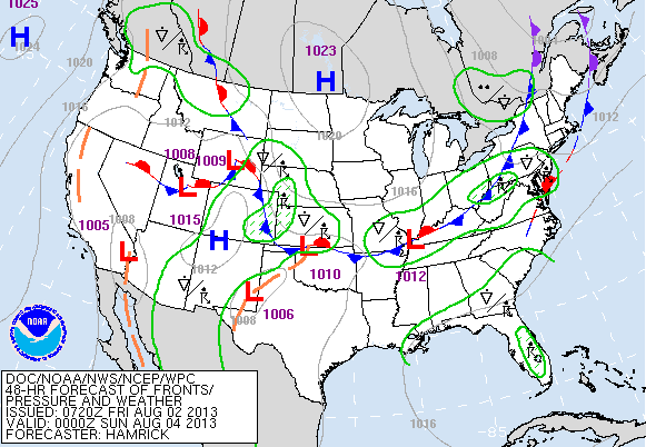
Most of the nation will have quiet weather for this the first weekend of August, There will be some patchy showers and thunderstorms in spots..but not much to worry about. Overall...cooler than normal except in the south. Here is map for Saturday afternoon. Northeasterners....notice...rain is close...but mainly mid Atlantic.
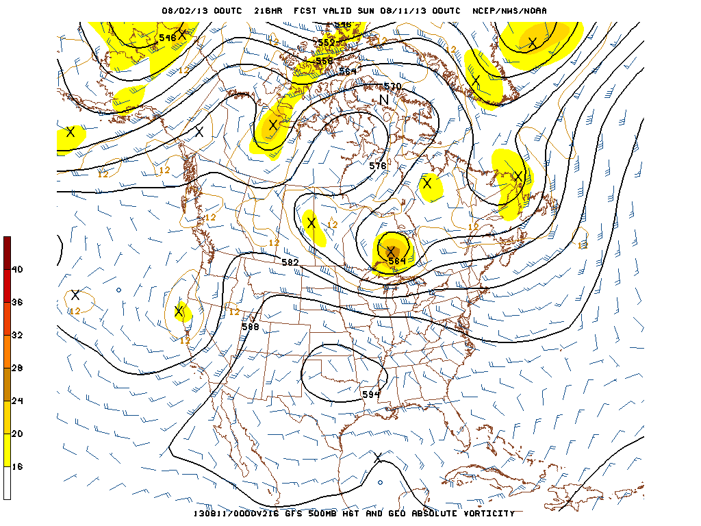
Take a look at the upper air pattern for next Saturday....8-10-13. Notice the swirling low in south central Canada. That vortex is usually found much further north...thus our heights and jet stream are lower resulting in cooler than normal temps.
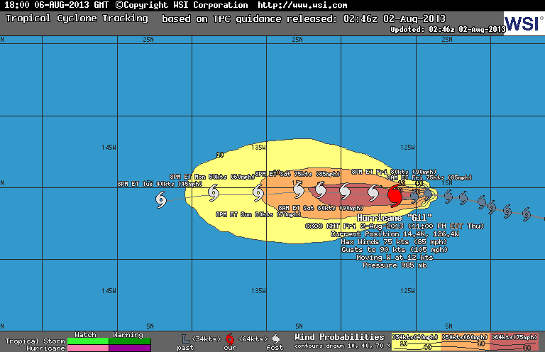
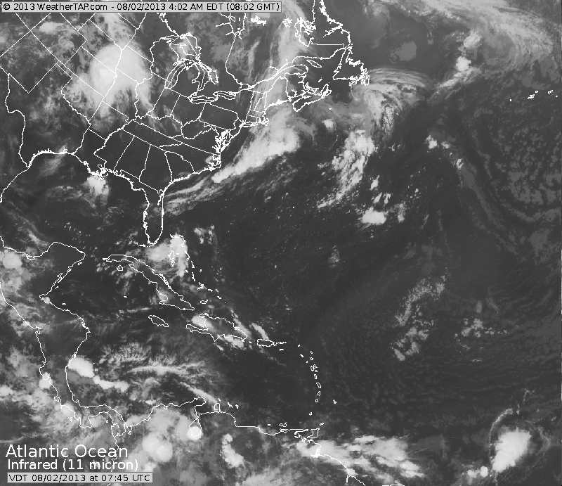
Next picture is the track of Hurricane Gil. He will move west and slowly weaken. The following picture is the satellite from Atlantic Basic. Bright spots off Florida is remnants of Dorian...which may go back to a tropical storm and move north then northeast. Bright spot to the right is another tropical wave to watch....and not shown here...is a vigorous wave off Africa that could become Erin. Have a nice weekend. Later

 RSS Feed
