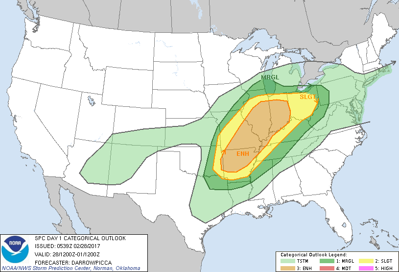
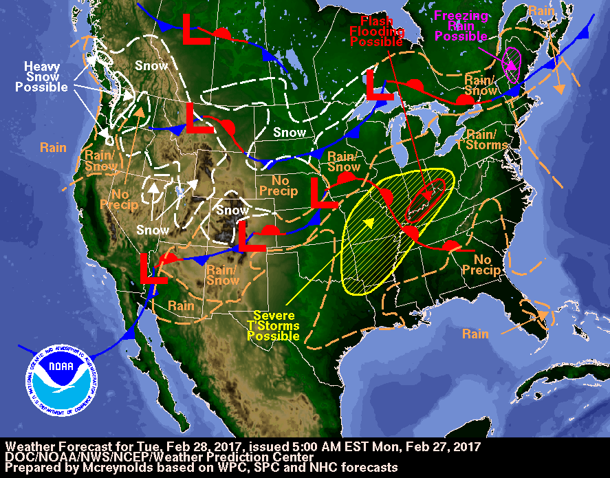
Above - today's severe threat of weather covering Ohio Valley down through lower Mississippi Valley. Tan area indicates strongest threat. Below...weather map and how it coincides with severe threat.
Early a.m. satellite and radar showing bands of moisture working from southwest to northeast.
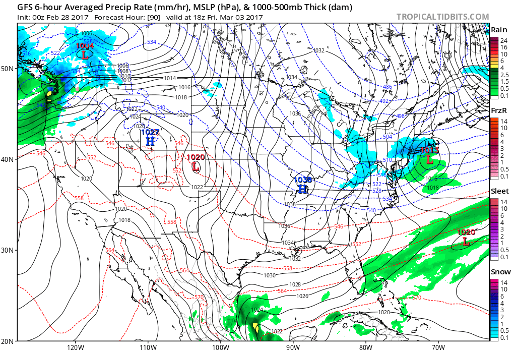
One of the only models to forecast an alberta clipper for the East on Friday with a little snow is the GFS. Below..that model. At this time..we believe it may outsmart most of the models. Be safe.


 RSS Feed
