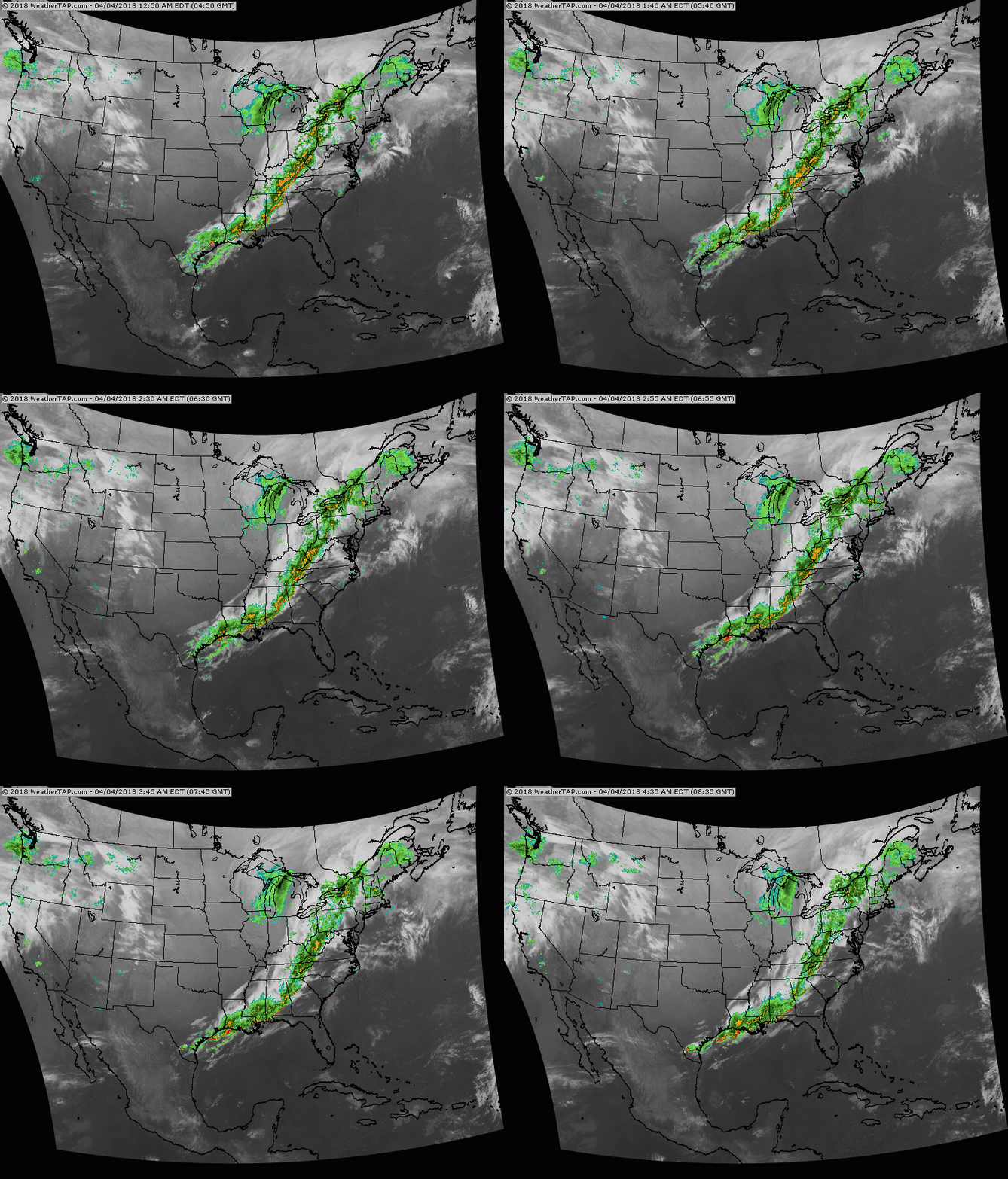
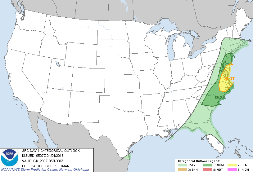
Cold front moving through Appalachians. Ahead of it...mild..showers..thunderstorms and winds to 50 mph....today...behind it..back to winter. Snow in Great Lakes. New system in Northwest heads to Northeast by Friday. Below- today's threat of severe weather in dark green and yellow.
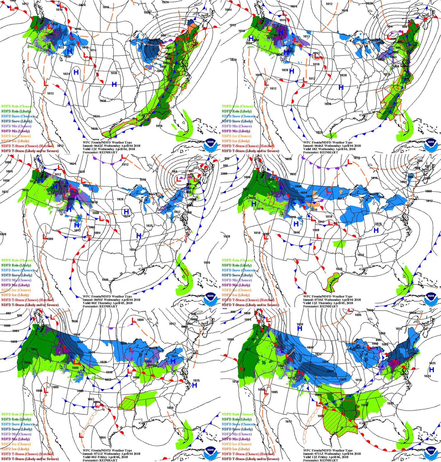
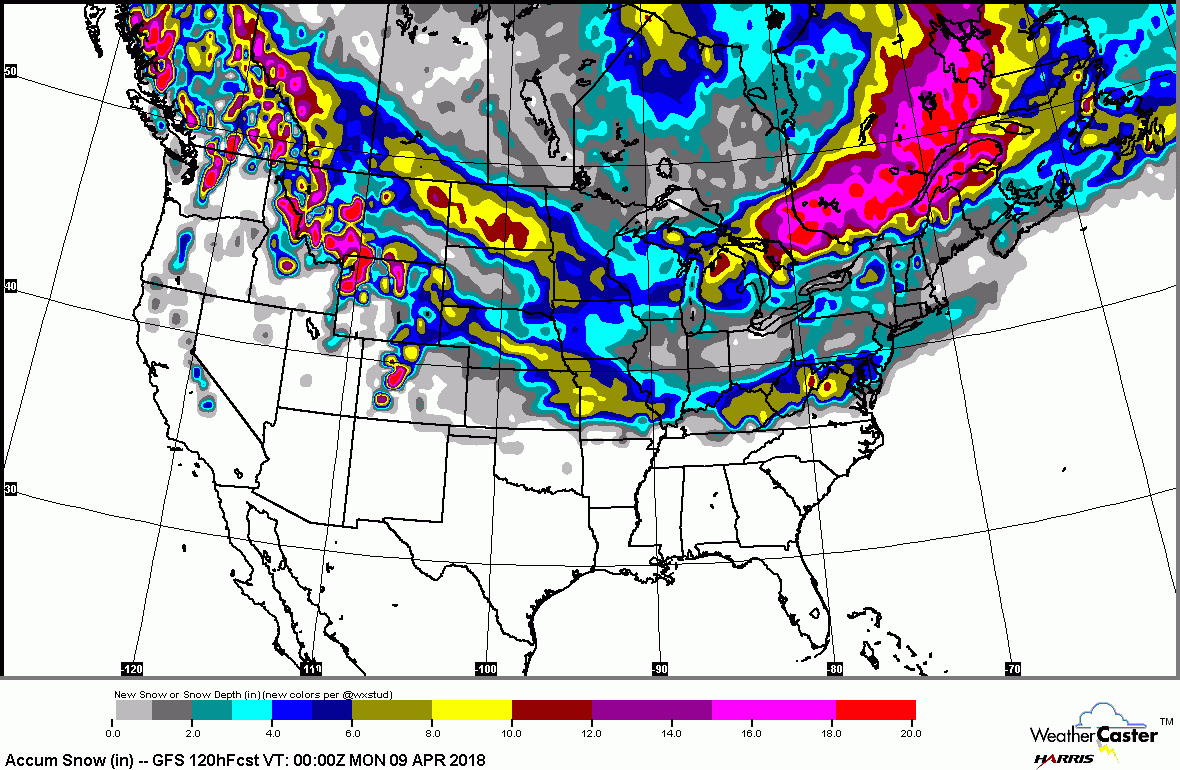
Below- animated maps for the next 2 days....followed by national snowfall forecast for the next 5 days......quite impressive for this time of year.
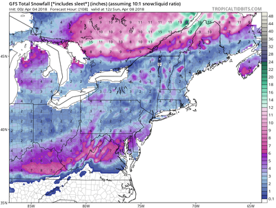
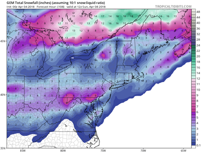
A sneaky storm along the east coast this weekend could produce more snow from Mid Atlantic to Northeast. Below -....these are the snow predictions from the models in this order.....GFS - Canadian - Euro. Read them and weep.
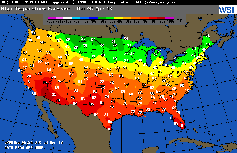
The Euro will not be copied....but it's similar to the 2 above. Finally - temps. tomorrow. Enjoy spring...wherever it is.


 RSS Feed
