
Satellite shows large trof in the East with warming and rain and wind. System moving through central US will weaken out. New system in Northwest will head across the US - Canadian border as a real big wind bag and some showers.
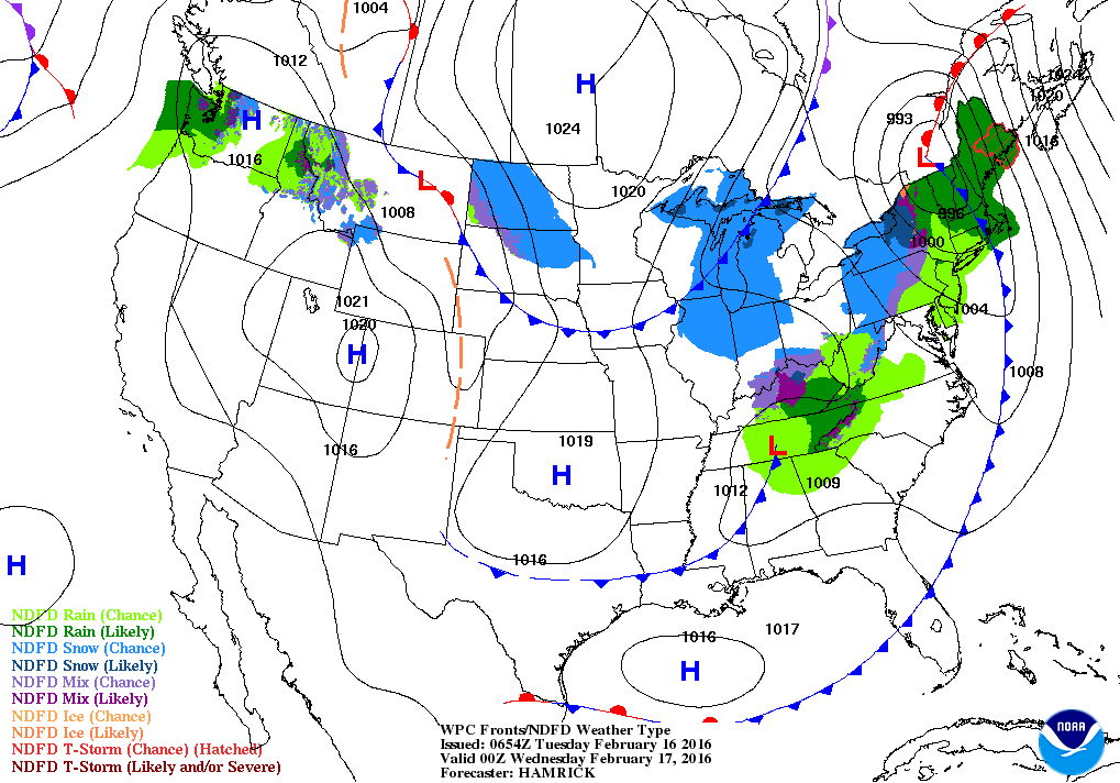
Wet storm heads across New England tonight with rain....snow in it's wake. System over Tenn. Valley has some rain and snow...but dampens out. Cold front in Great Lakes brings seasonably chilly air to the East for late week.
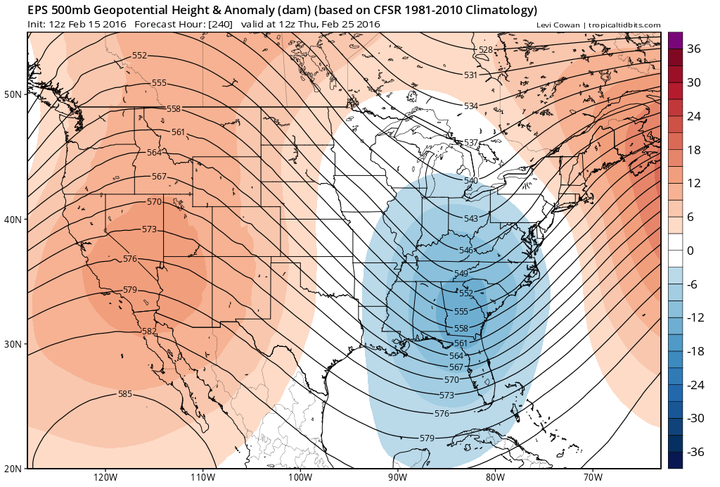
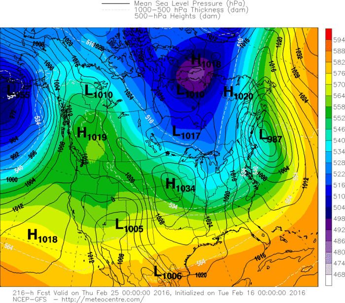
Map above is upper air...for next week. Ridge out west with orange...means warmer.... trof in east with blue...means colder.
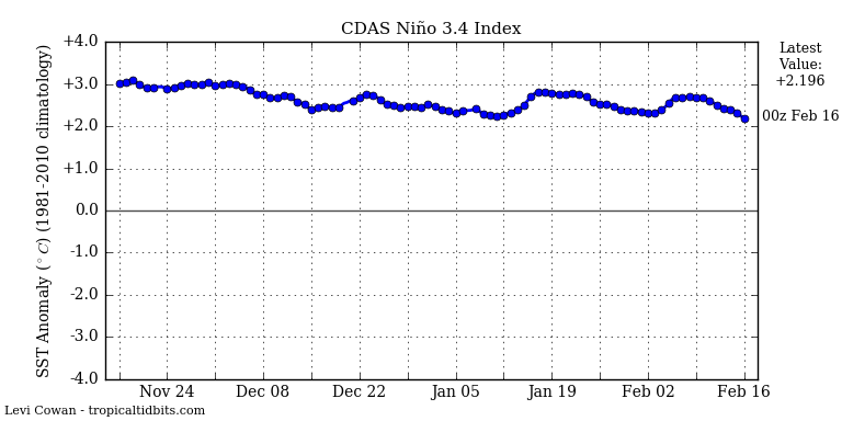
Below...graph showing progress of El Nino since last fall....
not much change.
Below...graph showing progress of El Nino since last fall....
not much change.
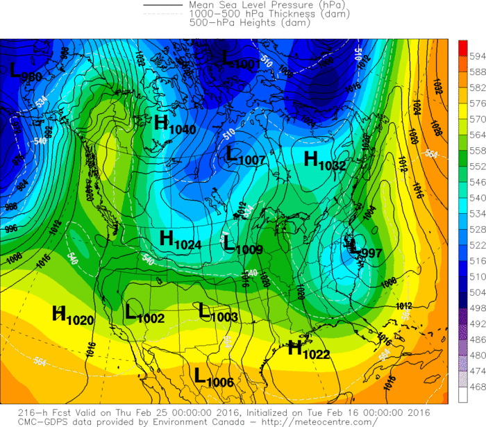
Below...models for next Wednesday. They are all hinting at some storm for the East....but not together at all...which is typical. That should be the next big event....aside from the minor event next Monday. Be safe.


 RSS Feed
