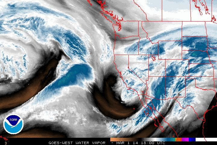
Water vapor imagery shows the circulation, that has been the topic of the discussion recently, centered right off the California coast. This storm will be the first one of March as it tracks east across the US at a rather fast pace.
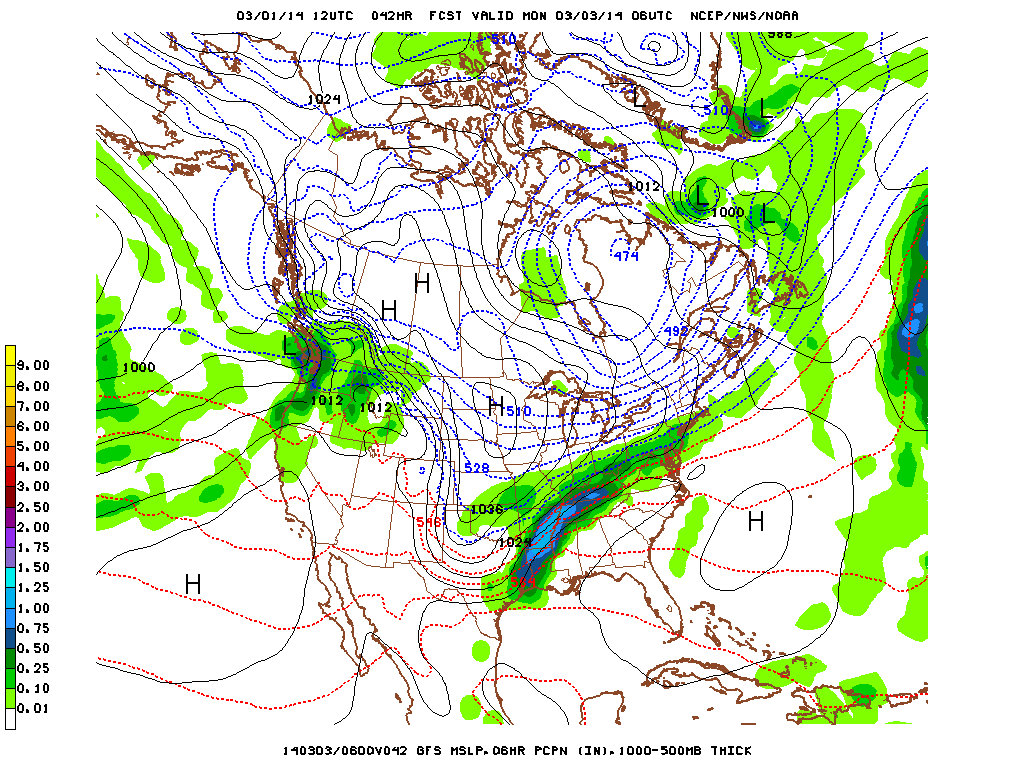
Above shows the GFS output for 1 AM ET. The models are generally in agreement about the movement of this system with a long wave of precipitation from Sunday and on through Monday. While not one of the biggest snowstorms of the season to hit the US, it could still drop close to a foot of snow in areas that stretch from southern Illinois, on eastward parts of West Virginia, southern Pennslvania, and southern New Jersey by the time the storm passes on into the Atlantic on Monday night.
With temperatures remaining below average for much of the country this weekend and into next week, it's not quite the start to Meteorological Spring we would have liked. However the sun has been setting later, and the temperatures at this time of year on average get warmer so hold on a little bit longer.
- JL


 RSS Feed
