Metro Weather Inc. Services
Like us, follow us, link to us, contact us!
  • Home
    • Daily Weather Discussion
  • Weather Prepared for You
    • Film and TV Production
    • Radio & Television
    • Government and Industry
    • Forensic Services >
      • Weather Record Request Form
    • Metro Morning Monitor
  • About Metro Weather
    • Senior Staff
  • Your Weather Images
  • Contact Us

MARIA ! - Deadly Storm.....

9/20/2017

0 Comments

 
Picture
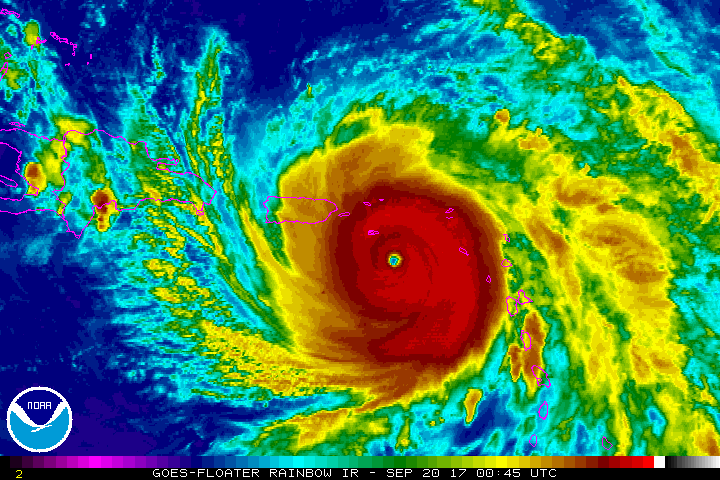
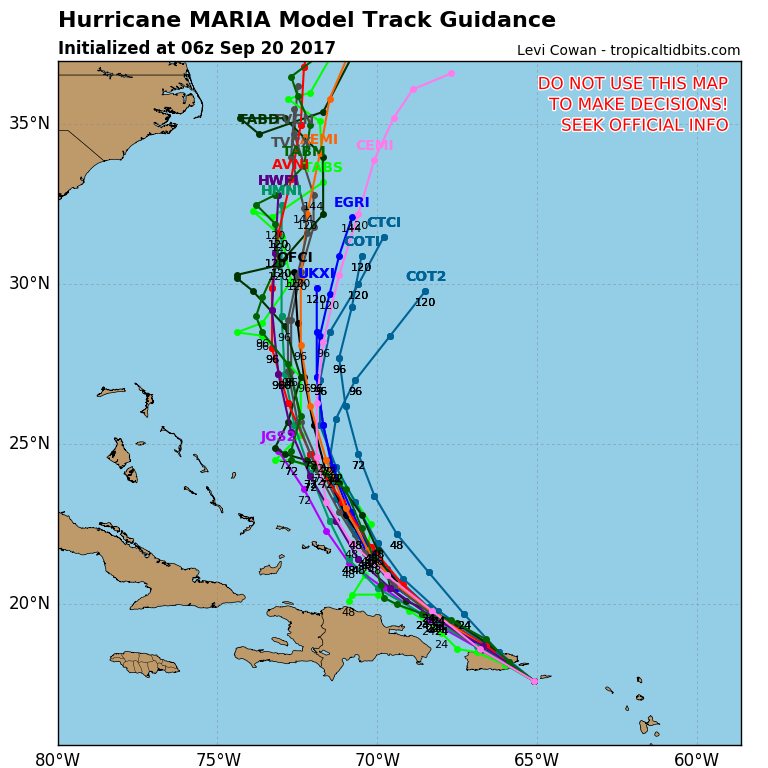
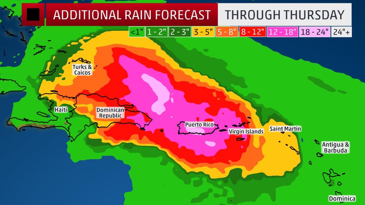
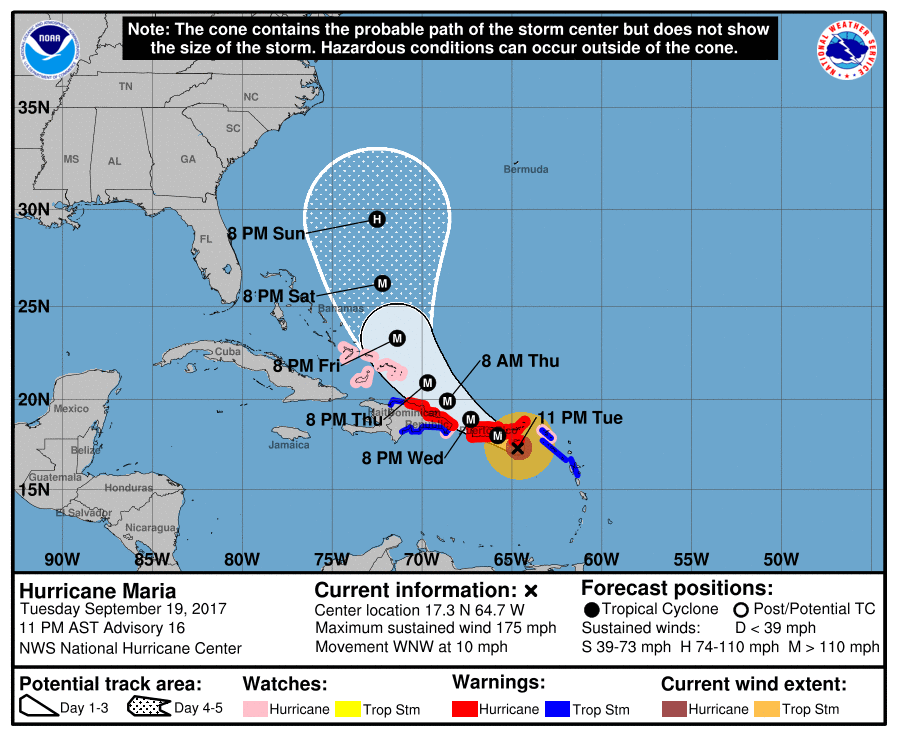
Maria's eye on satellite pre-dawn Wednesday - near St. Croix - headed for Puerto Rico with 160-200 mph winds. Below...track of Maria and amounts of rain predicted.
Picture
Picture
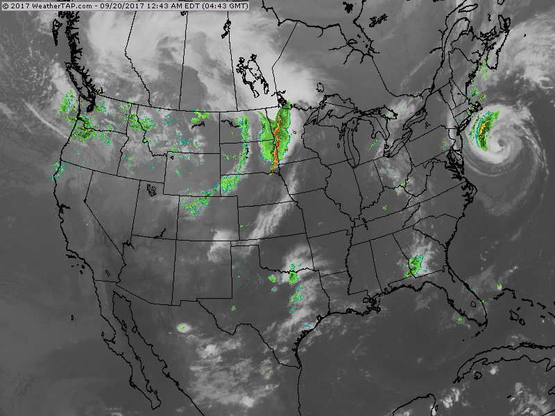
A look at Atlantic basin. New disturbance in Atlantic could become  Nate. Right now - he is expected to move north in the open Atlantic. Maria...still needs to be watched as she heads north off the East Coast next week. 
Picture
Picture
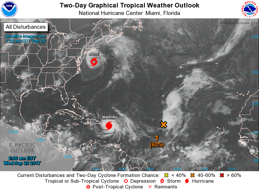
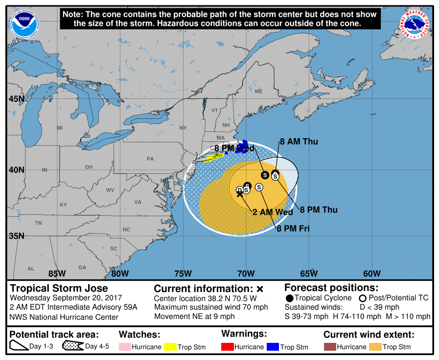
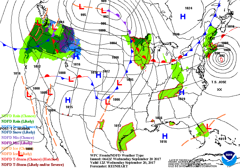
​Below - satellite shows Jose off New England and his track which will be anything but text book like.
Picture
Picture
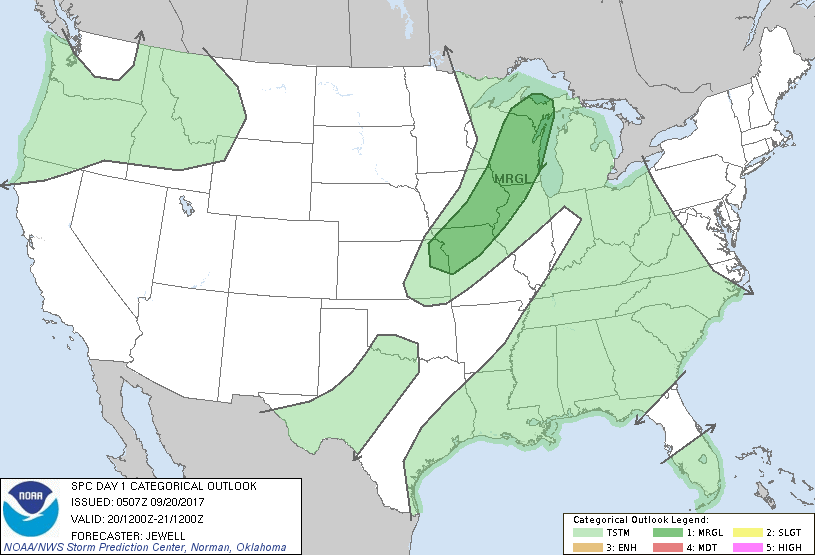
​Finally - todays risk of severe weather...followed by animated maps for the next 2 days.
Picture
Picture
0 Comments


Leave a Reply.

    Genesis of a Tornado
    We'll have daily weather discussions, talking about major systems on the horizon along with anything noteworthy that pops up on our radar.

    Pat Pagano,
    Mike Merin

    Follow us on Twitter and like us on Facebook to get updates whenever we post a new entry!

    RSS Feed

Powered by Create your own unique website with customizable templates.