
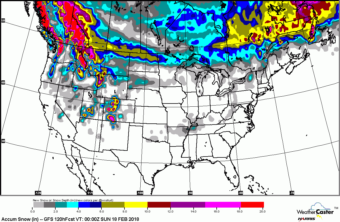
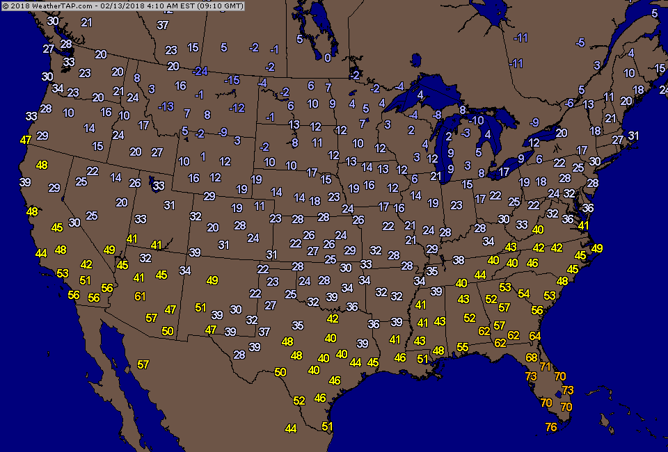
Satellite-radar shows rain in Midwest - headed east....otherwise a good portion of the Nation - mild. Below...snowfall forecast for next 5 days...along with current temperatures.
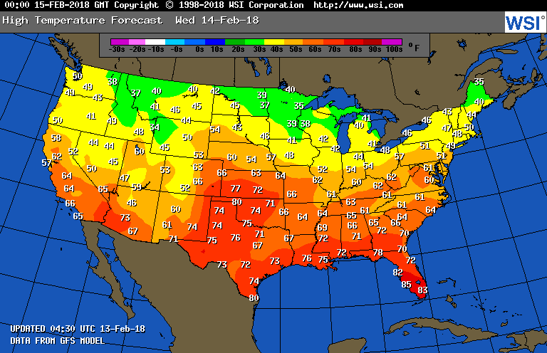
Below - animated maps for the next 2 days followed by map for high temperatures on Wednesday. Thursday will be a very mild day for The East...lots of record temps will be broken. On the heels of that..a cold front moves off East Coast Friday and it gets colder Saturday. Sunday holds some question for the Northeast.
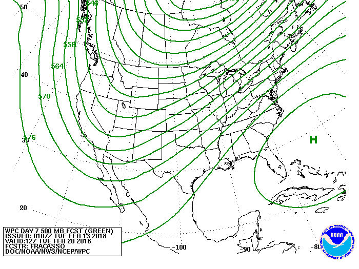
Finally a look at the predicted upper air flow over the next week. Trof out west...southwest flow East....that means where the trof is..winter -like..where the southwest flow it...March - like. Be safe.

 RSS Feed
