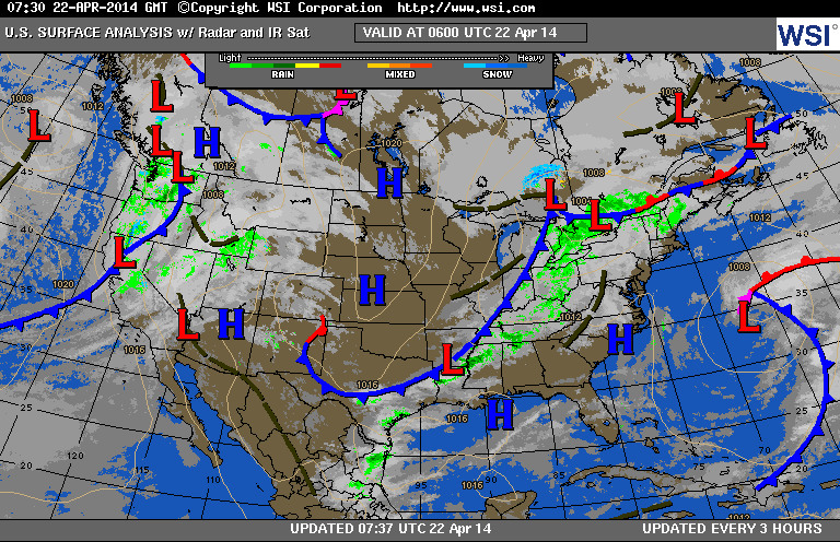
Today's map shows a cold front moving thru Ohio Valley with showers and some thunder....reaching the coast tonight. Fair mid sections..next front along west coast will gain strength and will reach East Coast this weekend with showers and a shot of colder air.

Satellite shows system in East....not too intense. System west already has the moisture and as you can tell by the dip in the Pacific...a strong jet stream will support the strength of this system.
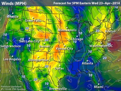
Above...map showing wind direction and speed for Wednesday. Yellow and orange represent the strongest winds ...which cover plenty of real estate,
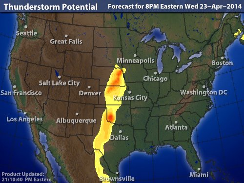
Map above...potential for thunderstorms on Wednesday. This area will
expand as it moves to East Coast by end of the week. So this is Spring ....Later.
expand as it moves to East Coast by end of the week. So this is Spring ....Later.

 RSS Feed
