
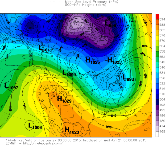
Blue patchy over Ohio - Pa - Va - will bring a swath on mainly light snw to mid Atlantic and NYC late tdy and tnte...1"-2".....locally 3"-4" across So. Jersey etc. Larger area of blue southwest....will evolve into major winter storm in Gulf then up east coast Saturday.
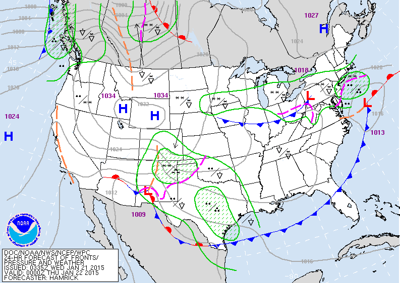
Map above...early this evening...double-barreled low in mid Atlantic....with light snow there. Winter storm is southwest
beginning to expand.
beginning to expand.

Map above is for Saturday a.m. Most the nation quiet except the East coast with coastal storm intensifying along the outer banks of N. Carolina.
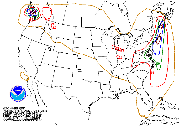
Map above shows amounts of moisture predicted with coastal storm on Saturday. Indeed for places that may
stay mostly snow...it will be heavy....otherwise a wintry
mix - mess likely. Heavy rain for the Pacific NW.
stay mostly snow...it will be heavy....otherwise a wintry
mix - mess likely. Heavy rain for the Pacific NW.
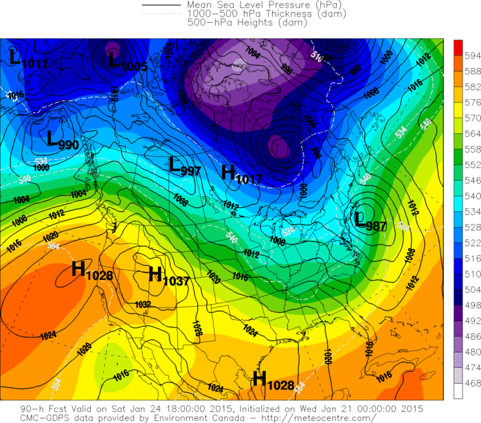
Canadian model for 1pm Saturday. This would suggest
as big snow for the northeast.
as big snow for the northeast.
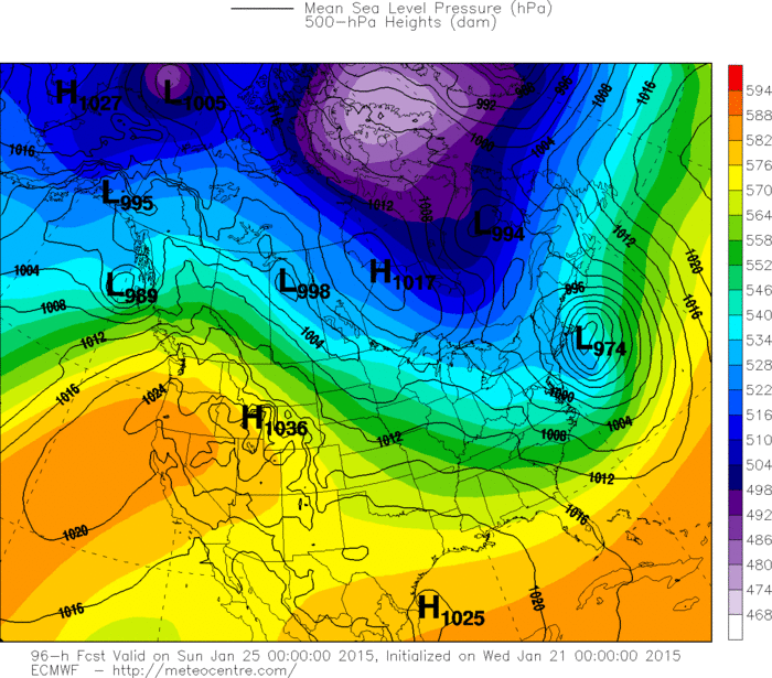
This is The Euro for 7pm Saturday. This tells us that any wintry mix changes to heavy wet snow.
Euro for next Monday nite. Another coastal low...another winter storm. More on this storm tomorrow. Be safe.

 RSS Feed
