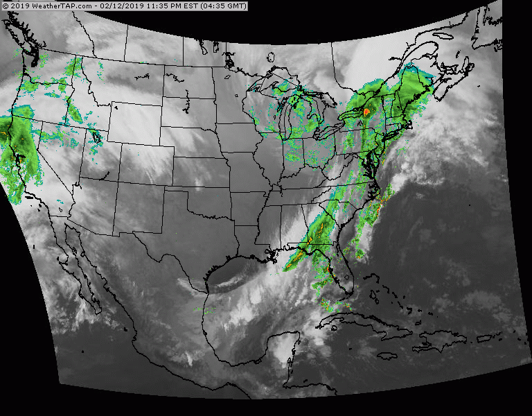
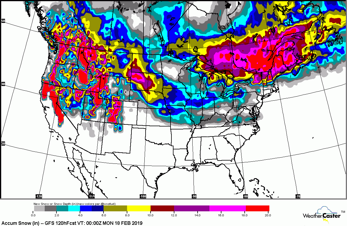
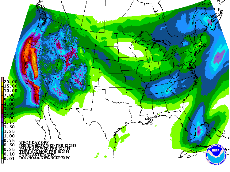
Winter storm seen on this satellite- radar picture over Great Lakes and Northeast. Lake effect snows in its wake today. More storms hitting the west coast. A train of storms will be headed west to east from this weekend into next week...most of which will affect the southern third of the Nation....but a couple will fringe Mid Atlantic ...and a bigger one for the East next Tuesday and Wednesday. Below- expected snow and rainfall thru weekend.
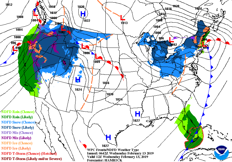
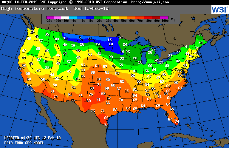
Below- animated maps for the next 2 days.....followed by high temperatures for Thursday. Be safe.

 RSS Feed
