
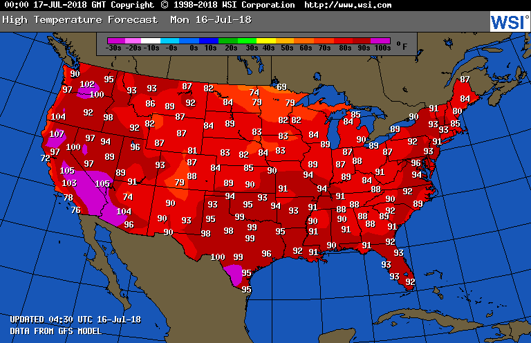
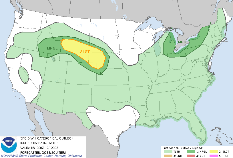
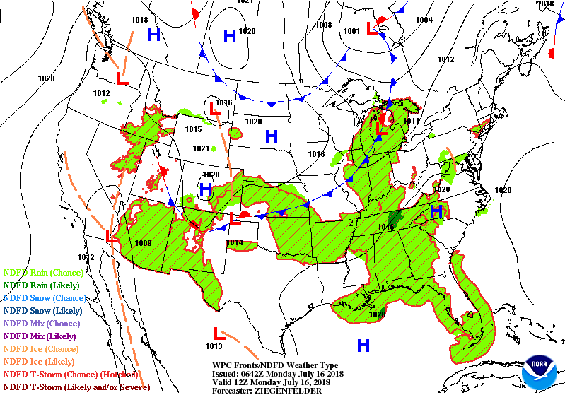
Satellite/radar shows lots of moisture on the way. Cold front from Great Lakes to Rockies moves east and ends heat for Northeast & Mid Atlantic by mid week. Muggy- showery weather for the South...Monsoon rains for the SW. Below - today's high temperatures followed by threat of severe weather in dark green - yellow - tan.
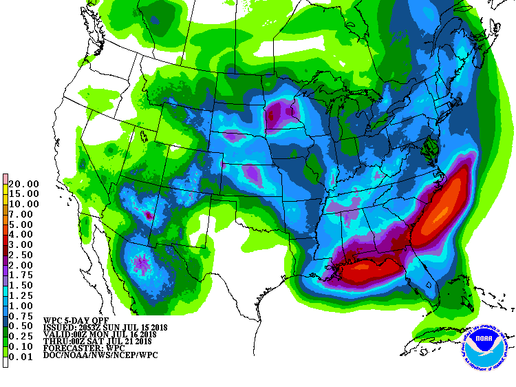
Below - animated maps for next couple followed by rainfall predictions through this coming weekend. The overall pattern will be changing as we move into late July. A ridge will build across The Rockies...a trof in The East. It should spell cooler weather East - Hot weather west....and such a pattern could easily continue through August. Be safe.

 RSS Feed
