
Above...satellite shows major system in Plains. This will stretch out and bring some changeable weather to The Eastern Half of The Nation this week. Severe weather is possible for Midwest Tuesday and that could move east to affect Northeast Thursday.
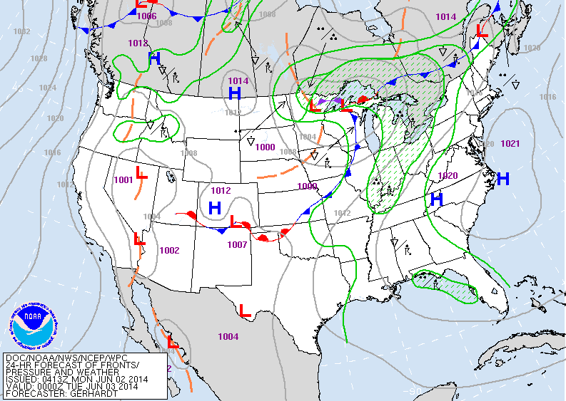
Above - Today's map shows fromt in center Nation with wet weather from Great Lakes down to Gulf.
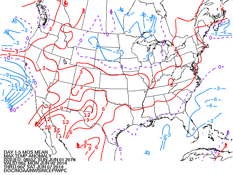
Above...how high temperatures will average this week. Red...above normal...blue below.
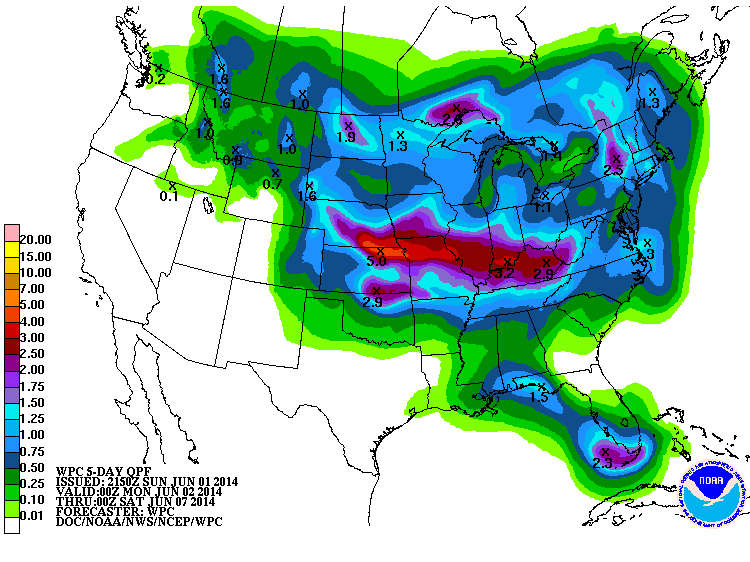
Above...how rainfall will fare this week. Red 3" or more.
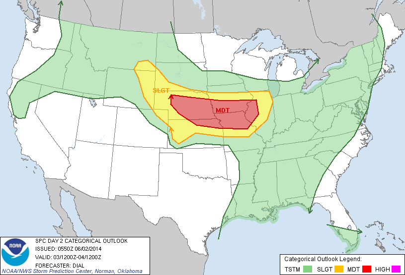
Above...risk of severe weather for Tuesday. Strongest storms expected Nebraska to Iowa and Missouri.
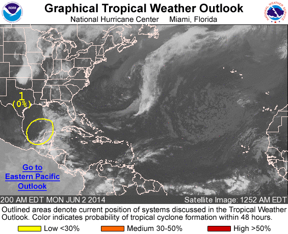
Above....tropical analysis. Area over Yucatan may begin to take on tropical formation and could make eyes for Florida. For now...be safe...later.

 RSS Feed
