
Satellite/Radar showing clusters of rain and storms fron Kansas to North Carolina. This area will head north to affect Ohio Valley and Northeast this weekend with heavy rain.
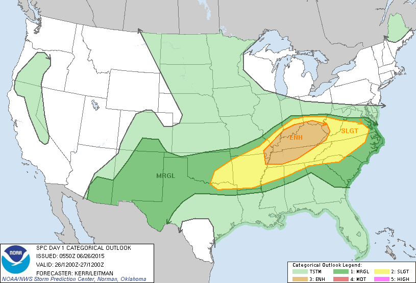
Today's severe risk coincides with radar above....dark green...yellow and tan...best chances.
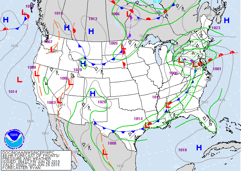
Map above is for Saturday....major - unseasonable storm in Ohio Valley....reforming east of Appalachians bringing cool...windy...wet weather to the east.....trailing down to Gulf.
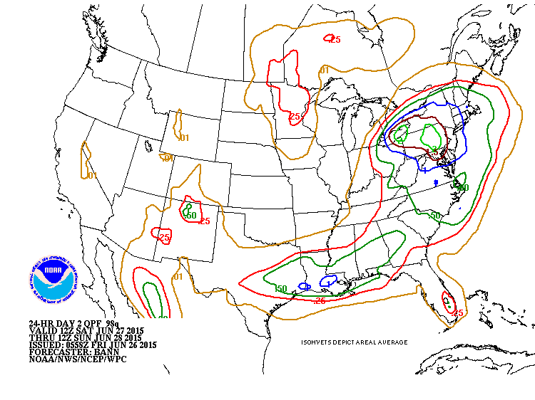
Rainfall amounts this weekend.....heaviest in Northeast where 1"-3" could fall.....and across southern Gulf States.
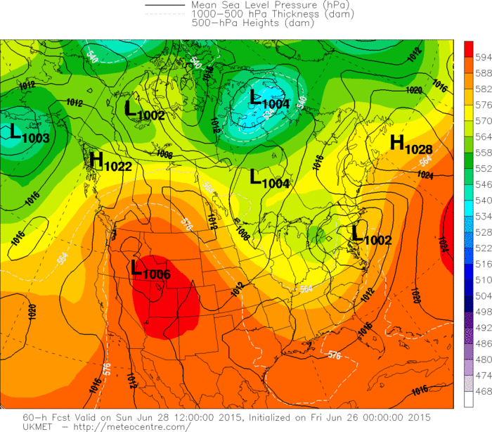
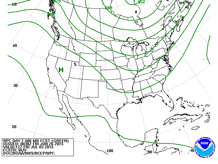
UK Model for Sunday is best compromise showing 1 low over New Jersey....which spells out the wet cool weather expected there. Below...upper air pattern for next week.
It indicates Heat out west and cool East. Be safe...have a nice weekend.
It indicates Heat out west and cool East. Be safe...have a nice weekend.

 RSS Feed
