
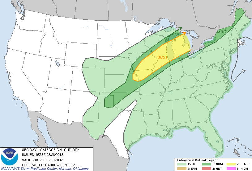
Satellite/radar showing heavy storms over the Great Lakes...some moving into parts of Northeast today. Elsewhere - just hot and sticky. Below..today's risk of severe weather in dark green and yellow.
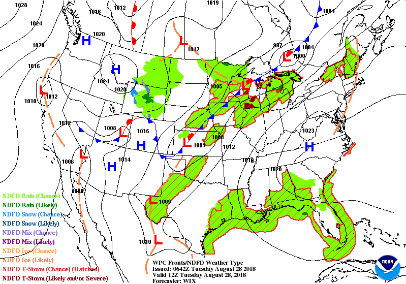
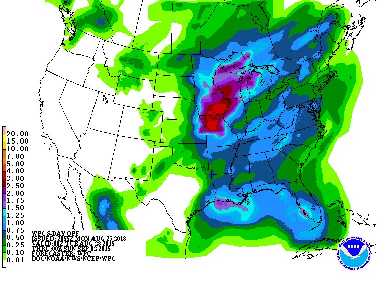
Below - animated maps for the next couple followed by rainfall amounts for the next 5 days.
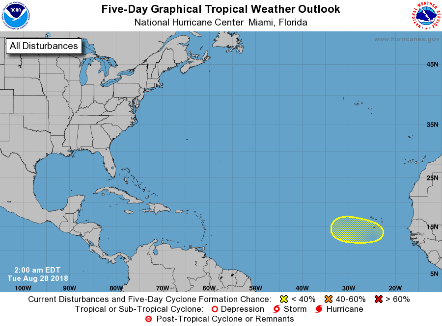
Below - map of Atlantic basin showing likely area for development....followed by satellite picture showing that area.

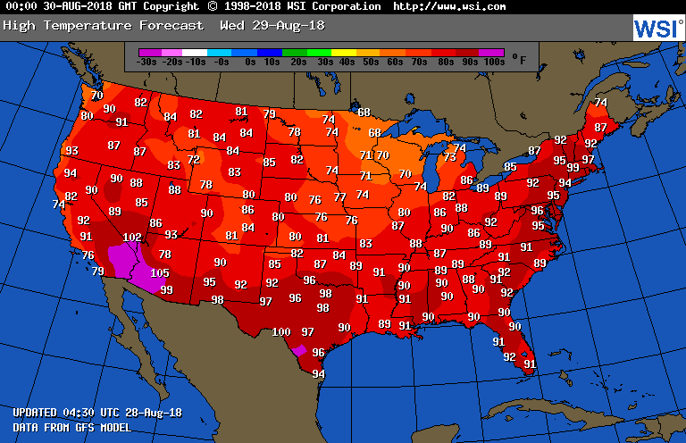
Below- high temperatures for Wednesday....not to different from today. STay cool and be safe.

 RSS Feed
