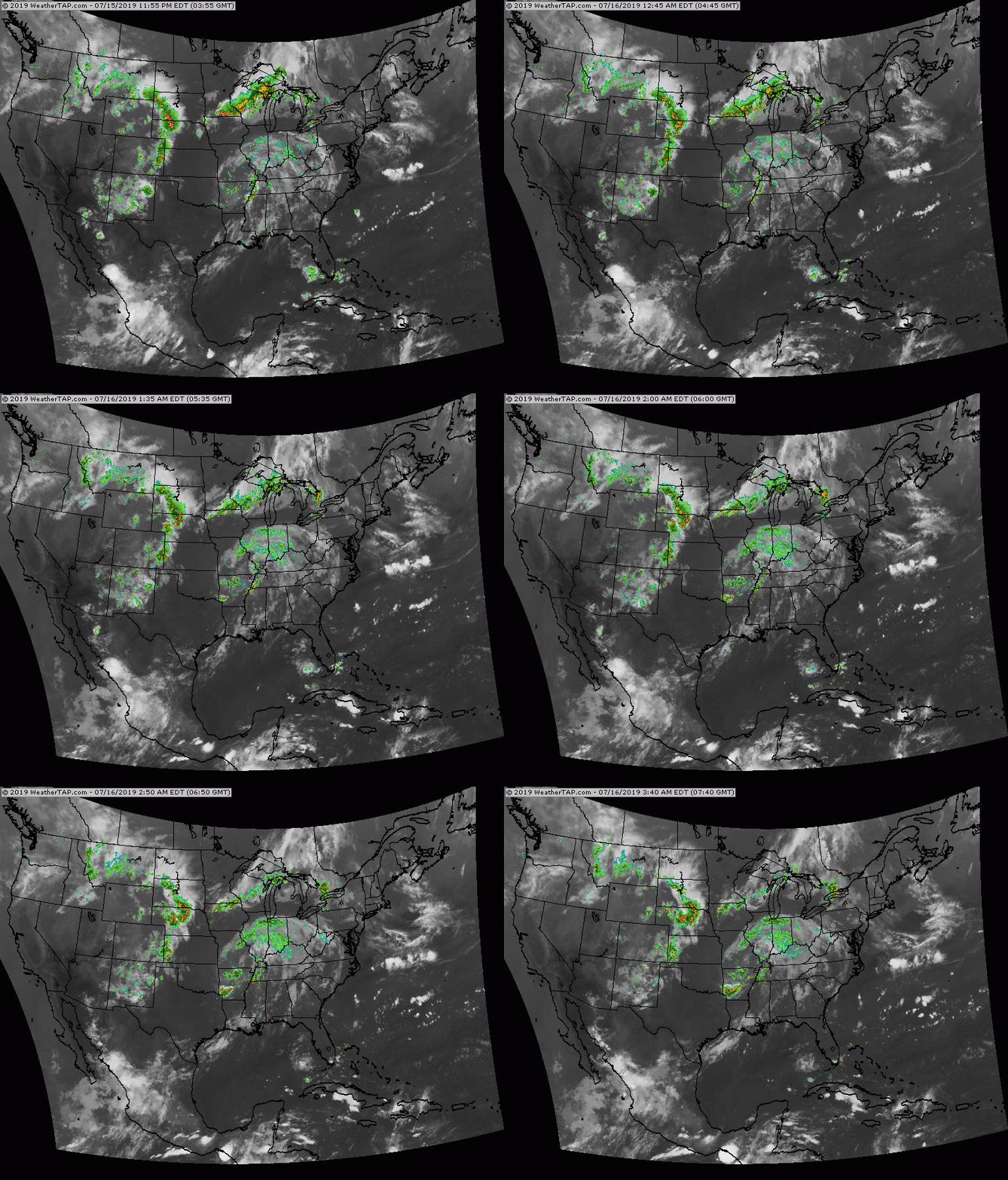
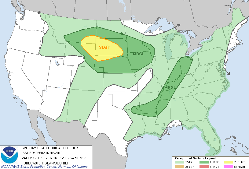
The remains of Barry is Missouri and that combined with a cold front in the Great Lakes is producing showers and storms Midwest and Ohio Valley. Another front producing storms into the Plains. Below - today's risk of severe thunderstorms in dark green and yellow.
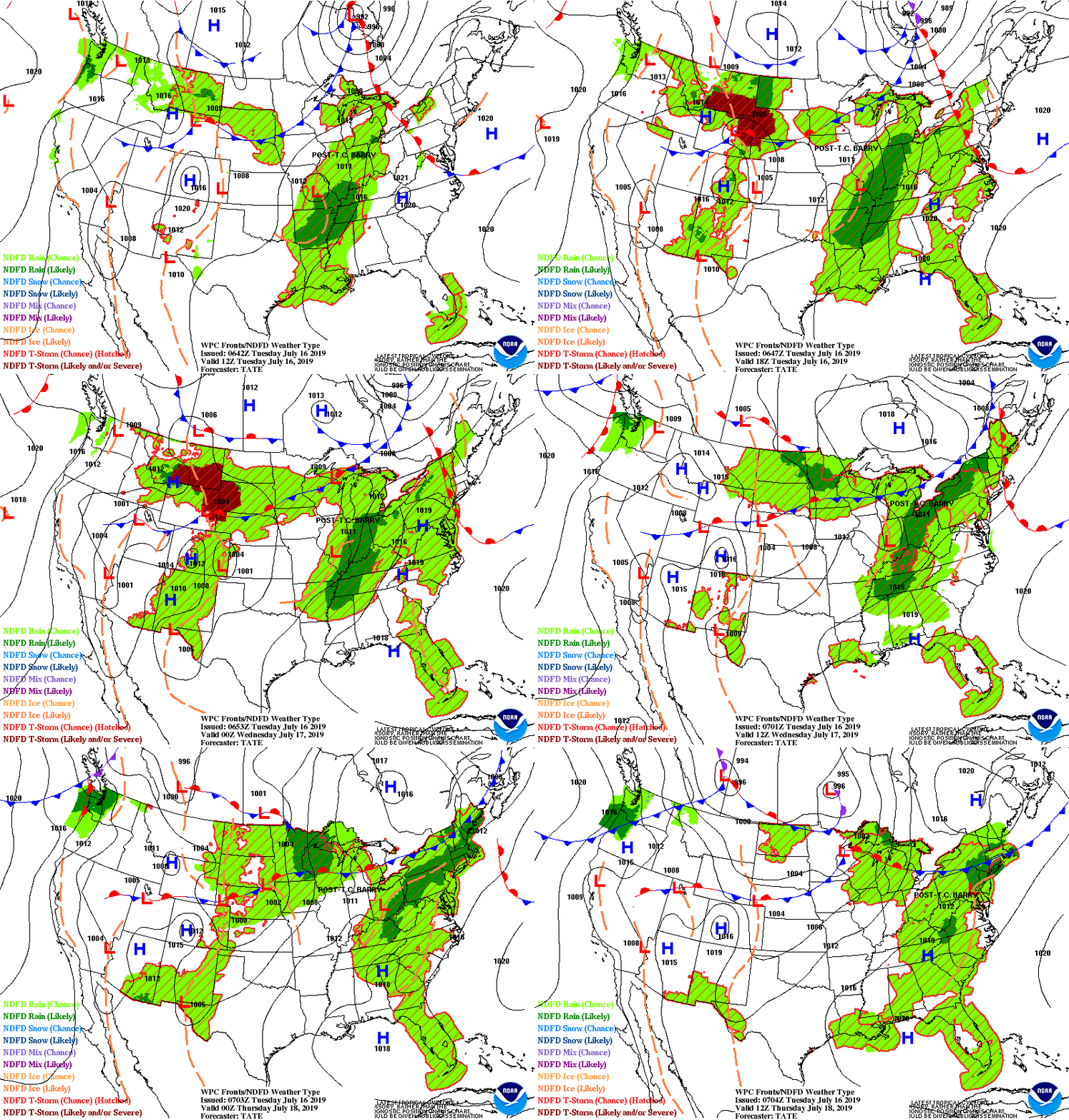
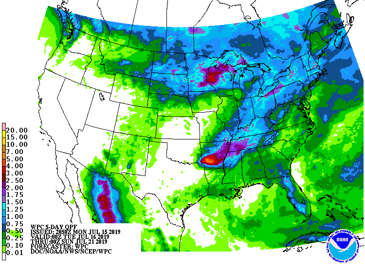
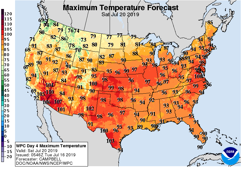
Below - animated maps for the next couple followed by rainfall into the weekend. The current pattern not only favors above norm temps...but a strong heatwave which will poke into The Northeast this weekend bringing temps to 100 in some of the major cities.
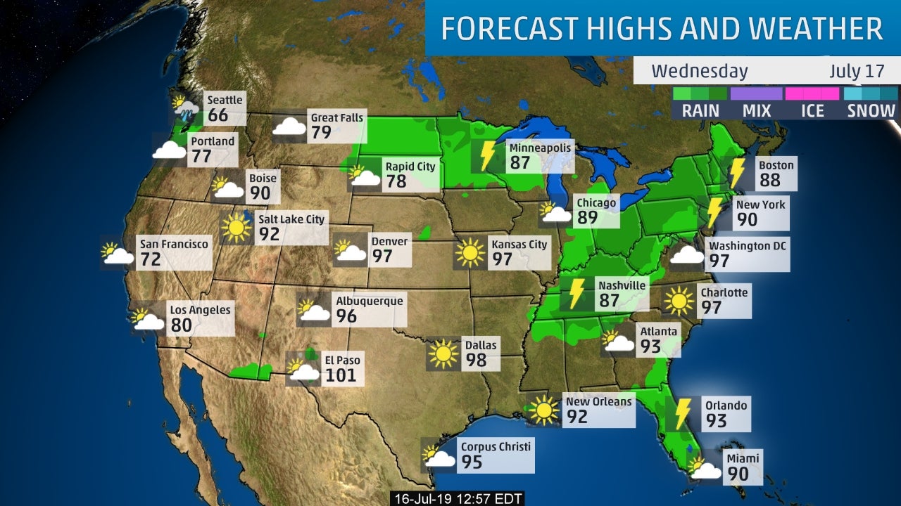
Below - snapshot weather for Wednesday - followed by projected high temps for Saturday. Anywhere in red has the potential of reaching 100.
Be safe.
Be safe.

 RSS Feed
